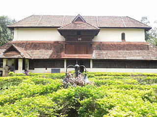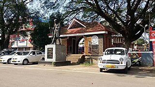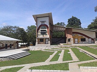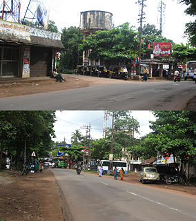
Nedumangad is a town and municipality in Thiruvananthapuram metropolitan area of Thiruvananthapuram district in the Indian state of Kerala, and is the headquarters of Nedumangad tehsil and Nedumangad Revenue Division (RDO). It is a suburb of the extended metropolitan region of Thiruvananthapuram city. It is located around 16 km to the north-east of Thiruvananthapuram city on the Thiruvananthapuram – Shenkottah. It is an important commercial center in the district. It is a growing commercial and educational hub and all important government institutions are situated in the town. Nedumangadu Market is important in South Kerala.

Adoor is a Municipality in Pathanamthitta district of Kerala State, India. It is the headquarters of Adoor Taluk and Adoor Revenue Division.

Ulikkal is a growing town in Kannur District in Kerala. It is the HQ of Ulikkal Grama Panchayat in Iritty Taluk. Kerala State Hill highway SH 59 passes through Ulikkal Town.

Thalavoor is a village located in the district of Kollam in the Kerala state of India. It is 77 km to the north of the State Capital, Thiruvananthapuram, and 28 km to the east of District Capital, Kollam. Thalavoor village is bordered by Pattazhy village to the north, Pidavoor village to the north-east, Vilakkudy village to the south-east, Melila village to the south and Mylom village to the west. Thalavoor is a part of Pathanapuram Block Panchayat

Pathanapuram is a Town in Pathanapuram Taluk Kollam district, Kerala, India. Pathanapuram is a part of Grama Panchayat and Block panchayat of same name and part of Kollam District Panchayat.

Kodukulanji is a village located around 5 km north of the Achankovil River and 7 km south of the Pamba River, in Alappuzha district.
Rajakkad is a town in the Idukki district in the Indian state of Kerala situated in the Western Ghats.
Poothakkulam, also known as Bhoothakulam, is a village in Kollam district in the state of Kerala, India. The village is located 3.9 km away from Paravur, 11.4 km from Varkala and 23 km from Kollam. In 2011, it had a population of 628,451 residents. The village covers an area of 16.56 km2.
Thrikkovilvattom is a panchayat in Kollam district in the state of Kerala, India. It is situated 9km east of Kollam City.
Vettikkavala is a village located in the Kollam district in the state of Kerala, India. One point of interest within the village is a Shiva-Vishnu temple which hosts a special deity called Vathukkal Njali Kunju. An annual celebration of Pongala is held at the temple. The village is also well known for temple arts and a palace constructed by Sree Moolam Thirunal.
Vellarada is a border village situated in Thiruvananthapuram district in the state of Kerala, India. It is 42 km from Thiruvananthapuram. It is the southernmost part of Kerala state, sharing its border with Tamil Nadu. Vellarada is said to be the threshold to the high-range areas of the eastern part of Thiruvananthapuram district. The southernmost point of Western Ghats in Kerala is near Vellarada.

Thuravoor is a Gram Panchayat in Aluva Taluk of Ernakulam District in the South Indian state of Kerala. Thuravoor Grama Panchayath is nearly 5 km from Angamaly Town. The Panchayat covers 12.13 km2 in area. The borders of this panchayat are Mookkannoor and Manjapra Panchayat in the north, Manjapra, Malayattoor-Neeleeswaram Panchayat in the East. Kalady panchayat and Angamaly Municipality in the south, and Karukutty and Mookkannoor Panchayat on the west.

Kottiyam is one of the fast developing suburban towns located at the southern end of Kollam city in Kollam district, Kerala, India. The town is home to many popular educational institutions, hospitals, restaurants, hotels, and retail stores. Kottiyam is strategically located and therefore a regular stopover for long-distance travellers wishing to freshen up during their journeys.

Thamarassery, formerly known as Thazhmalachery, it is one of the taluk in Kozhikode district and major hill town in the Kozhikode district of Kerala, India, 30 km north-east of Kozhikode (Calicut) City and 29 km east of Koyilandy. It lies on the Calicut - Wayanad - Mysore route.

Chandanathope is a town located in Kollam district, Kerala. It lies 23 kilometres (14 mi) from Paravur town and 8 kilometres (5.0 mi) from Kollam city centre on the Kollam–Thirumangalam National Highway 744. In Malayalam, the name denotes a place with sandalwood plantations. It is also known for cashew processing and its exports two major cashew exporters of Kollam namely VLC Cashews and MARK has their facilities in the town.

Polachira is a wetland spread over 600 hectares located near Paravur Municipality in Kollam District of Kerala, India. Formerly part of the Chathannoor Grama Panchayath, it is now located in the Chirakkara Grama Panchayath. Polachira is about 2 km south of Chathannoor town and 9 km north east of Paravur town. Chathannoor-Polachira-Ozhukupara Bund Across Road is the main access to Paravoor
Hinduism, Islam and Christianity are the prominent religions in Kollam district. As per the Census 2011, out of the total population of 2,635,375 persons, 64.42% follow Hinduism, 19.30% follow Islam and 16.00% follow Christianity. Other religions comprise 0.04%, while 0.25% did not state any religion.

Palackattumala is a village in Kottayam District of Kerala, India with a population of around 1500. An oblong tableland located on a small rolling hill, north of Illickal Junction in Pala – Vaikom road. The nearest town is Palai.

Punthalathazham is a landlocked neighbourhood of the city of Kollam in the Indian state of Kerala. It is located around six kilometres east of the core Kollam (Quilon) city towards Kannanalloor . This place has a little geographical importance and serves as the tail boundary of Kollam Municipal Corporation. Inhabitants belong to working and middle classes.
Marianad is a coastal town in south Indian state of Kerala. It belongs to Kadinamkulam grama panchayat in Thiruvananthapuram district of southern Kerala. Marianad is 25 KM away from Thiruvananthapuram city which is both district headquarters and state capital. Marianad is under the area of Puthukurichy post office and PIN code is 695303.


