Nambucca Heads Airport | |||||||||||
|---|---|---|---|---|---|---|---|---|---|---|---|
| Summary | |||||||||||
| Airport type | Public | ||||||||||
| Serves | Nambucca Heads, New South Wales | ||||||||||
| Elevation AMSL | 6 ft / 2 m | ||||||||||
| Coordinates | 30°40′33.6″S152°58′57.0″E / 30.676000°S 152.982500°E | ||||||||||
| Map | |||||||||||
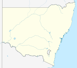 YNAA Location in New South Wales | |||||||||||
| Runways | |||||||||||
| |||||||||||
| Sources: AIP [1] [2] | |||||||||||
Nambucca Heads Airport( IATA : NBH, ICAO : YNAA) is an airport located in Nambucca Heads, New South Wales, Australia.