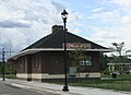
Hopkins, formerly Hopkins Station, is a village within Hopkins Township in Allegan County in the U.S. state of Michigan. The population was 615 at the 2020 census.

Harbor Springs is a city and resort community in Emmet County, Michigan, United States. The population was 1,274 in the 2020 census.

Maple River Township is a civil township of Emmet County in the U.S. state of Michigan. The population was 1,295 at the 2020 census.

McKinley Township is a civil township of Emmet County in the U.S. state of Michigan. The population was 1,294 at the 2020 census. McKinley Township is home to Pellston Regional Airport.
Petoskey is a city in the U.S. state of Michigan. It is the county seat of Emmet County, and is the largest settlement within the county. Petoskey has a population of 5,877 at the 2020 census, up from 5,670 at the 2010 census.

Gladwin is a city in Gladwin County in the U.S. state of Michigan. The population was 3,069 at the 2020 census. Gladwin is the county seat of Gladwin County. The city is at the southwest corner of Gladwin Township, but the two are administered autonomously.

Fife Lake is a village in southeastern Grand Traverse County in the U.S. state of Michigan. Its population was 456 at the 2020 census, up from 443 at the 2010 census. The village is part of the Traverse City metropolitan area, and lies upon the shore of the lake of the same name.

Sebewaing (SEE-bah-wing) is a village in Huron County in the U.S. state of Michigan. The population was 1,721 at the 2020 census. The village is within Sebewaing Township. This community is known as the Sugar Beet Capital, due to the Michigan Sugar slicing mill located within the village and the yearly Michigan Sugar Festival. The Sebewaing area, the Thumb, and the state of Michigan overall are major beet sugar producers, mostly for domestic consumption. Sebewaing is also the first gigabit village in the state of Michigan. In 2014–15, Sebewaing completed its fiber to the home network, offering up to gigabit/second speeds over their fiber optic network.
Caledonia is a village in Kent County in the U.S. state of Michigan. The population was 1,622 at the 2020 census. The village is located within Caledonia Township about 15 miles (24.1 km) southeast of downtown Grand Rapids.

Cedar Springs is a city in Kent County in the U.S. state of Michigan. The population was 3,509 at the 2010 census. Cedar Springs is a northern city of the Grand Rapids metropolitan area and is about 20 miles (32.2 km) north of Grand Rapids.

Custer is a village in Mason County in the U.S. state of Michigan. The population was 272 at the 2020 census. The village is located within Custer Township.

Morley is a village in Mecosta County in the U.S. state of Michigan. The population was 517 at the 2020 census.

Ontonagon is a village in the Upper Peninsula of the U.S. state of Michigan. The population was 1,285 at the 2020 census. It is the county seat of Ontonagon County, and is the only incorporated place within the county.

Vanderbilt is a village in Otsego County in the U.S. state of Michigan. The population was 498 at the 2020 census. The village is located within Corwith Township.

Ferrysburg is a city in Ottawa County in the U.S. state of Michigan. The population was 2,892 at the 2010 census.

Millersburg is a village in Presque Isle County of the U.S. state of Michigan. The population was 206 at the 2010 census. The village is within Case Township.

Roscommon is a village in and the county seat of Roscommon County, Michigan, United States. The population was 981 at the 2020 census.

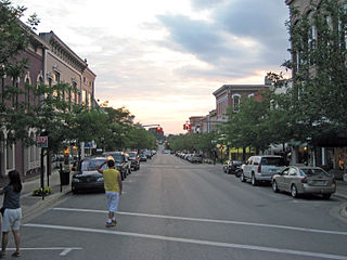
Chelsea is a city in Washtenaw County in the U.S. state of Michigan. The population was 5,467 at the 2020 census.

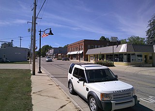
Bloomingdale is a village in Van Buren County in the U.S. state of Michigan. The population was 454 at the 2010 census. The village is located within Bloomingdale Township and is the township seat.

Beech Bottom is a village in Brooke County, West Virginia, United States, situated along the Ohio River. The population was 523 at the 2010 census. It is part of the Weirton–Steubenville metropolitan area.