Riacho das Almas | |
|---|---|
 City Forum | |
 Riacho das Almas Riacho das Almas located in Brazil Map | |
| Coordinates: 8°8′S35°52′W / 8.133°S 35.867°W | |
| Country | |
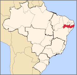
| State | Pernambuco |
| Region | Agreste |
| Area | |
• Total | 313.99 km2 (121.23 sq mi) |
| Elevation | 407 m (1,335 ft) |
| Population (2020 [1] ) | |
• Total | 20,646 |
| Time zone | UTC−3 (BRT) |

Riacho das Almas (population 20,646) is a city in northeastern Brazil, in the State of Pernambuco. It lies in the mesoregion of Agreste of Pernambuco and has 313.99 sq/km of total area.