Itapissuma | |
|---|---|
 Flag  Seal | |
 Itapissuma Itapissuma located in Brazil Map | |
| Coordinates: 07°46′33″S34°53′31″W / 7.77583°S 34.89194°W | |
| Country | |
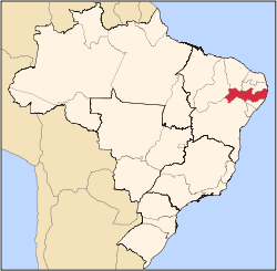
| State | Pernambuco |
| Region | RMR (Recife) |
| Area | |
• Total | 74.25 km2 (28.67 sq mi) |
| Elevation | 7 m (23 ft) |
| Population (2020 [1] ) | |
• Total | 26,900 |
| Time zone | [[UTCBRT]] |
| • Summer (DST) | −3 |
| Average Temperature | 25.3 °C (77.5 °F) |
Itapissuma is a city in the state of Pernambuco, Brazil. It is integrated in the Recife metropolitan area with another 13 cities. Itapissuma has a total area of 74.25 square kilometers and had an estimated population of 26,900 inhabitants in 2020 according to the IBGE. The city has the best children's mortality rate in the metropolitan area and has also the second highest GDP per capita after Ipojuca.