Paudalho | |
|---|---|
 Flag  Coat of arms | |
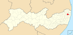 Location in Pernambuco state | |
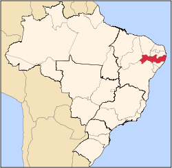
 Paudalho Location in Brazil | |
| Coordinates: 7°53′49″S35°10′48″W / 7.89694°S 35.18000°W | |
| Country | Brazil |
| Region | Northeast |
| State | Pernambuco |
| Mesoregion | Zona da Mata |
| Microregion | Mata Setentrional Pernambucana |
| Founded | 4 February 1811 |
| Government | |
| • Mayor | Marcello Fuchs Campos Gouveia Filho (PSD) |
| Area | |
• Total | 277.796 km2 (107.258 sq mi) |
| Elevation | 69 m (226 ft) |
| Population (2020 [1] ) | |
• Total | 56,933 |
| • Density | 200/km2 (530/sq mi) |
| Demonym | paudalhense |
| Time zone | UTC−3 (BRT) |
| Postal code | 55825-000 |
| Area code | 87 |
| Website | paudalho |
Paudalho is a city in northeastern Brazil, in the State of Pernambuco.