Escada | |
|---|---|
 | |
 Flag  Seal | |
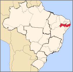
 Escada Escada Located in Brazil Map | |
| Coordinates: 8°21′33″S35°13′25″W / 8.35917°S 35.2236°W | |
| Country | |
| State | Pernambuco |
| Region | Zona da mata |
| Area | |
• Total | 347.2 km2 (134.1 sq mi) |
| Elevation | 109 m (358 ft) |
| Population (2022 [1] ) | |
• Total | 59 836 |
| Time zone | UTC−3 (BRT) |
| Average Temperature | 25 C |
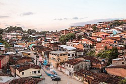
Escada is a city in northeastern Brazil, in the State of Pernambuco, with 59 836 inhabitants according with IBGE 2022. It is the most populous municipality in its microregion and one of the main ones in the Microregion of the Southern Forest of Pernambuco. It is located at a distance of 60 km from the capital of Pernambuco, Recife. Known as "Princesa dos Canaviais", a nickname that refers to the large plantations and sugar cane mills installed in the region.