Passira | |
|---|---|
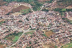 Aerial view of Passira | |
 Flag  Coat of arms | |
| Etymology: Named after a mountain range near the municipality whose name was derived from the Tupi language meaning "ending in an arrowhead" [1] | |
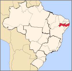
 Location of Passira in Pernambuco | |
 Passira  Passira | |
| Coordinates: 7°58′30″S35°34′51″W / 7.97500°S 35.58083°W | |
| Country | |
| Region | Northeast |
| State | |
| Founded | 20 December 1963 [1] |
| Government | |
| • Mayor | Severino Silvestre de Albuquerque (PSD) (2025-2028) [2] [3] |
| • Vice Mayor | Ernande Francisco da Silva Filho (PSB) (2025-2028) [2] [3] |
| Area | |
• Total | 327.210 km2 (126.336 sq mi) |
| Elevation | 176 m (577 ft) |
| Population (2022) | |
• Total | 28,340 [4] |
| • Density | 86.61/km2 (224.3/sq mi) |
| Demonym | Passirense (Brazilian Portuguese) [4] |
| Time zone | UTC-03:00 (Brasília Time) |
| Postal code | 55650-000, 55652-000 [5] |
| HDI (2010) | 0.592 – medium [4] |
| Website | passira.pe.gov.br |
Passira is a municipality in the state of Pernambuco, Brazil.