Somerset Street (Ottawa)

Last updated
Somerset Street, 1916 Somerset Street.jpg
Somerset Street, 1916

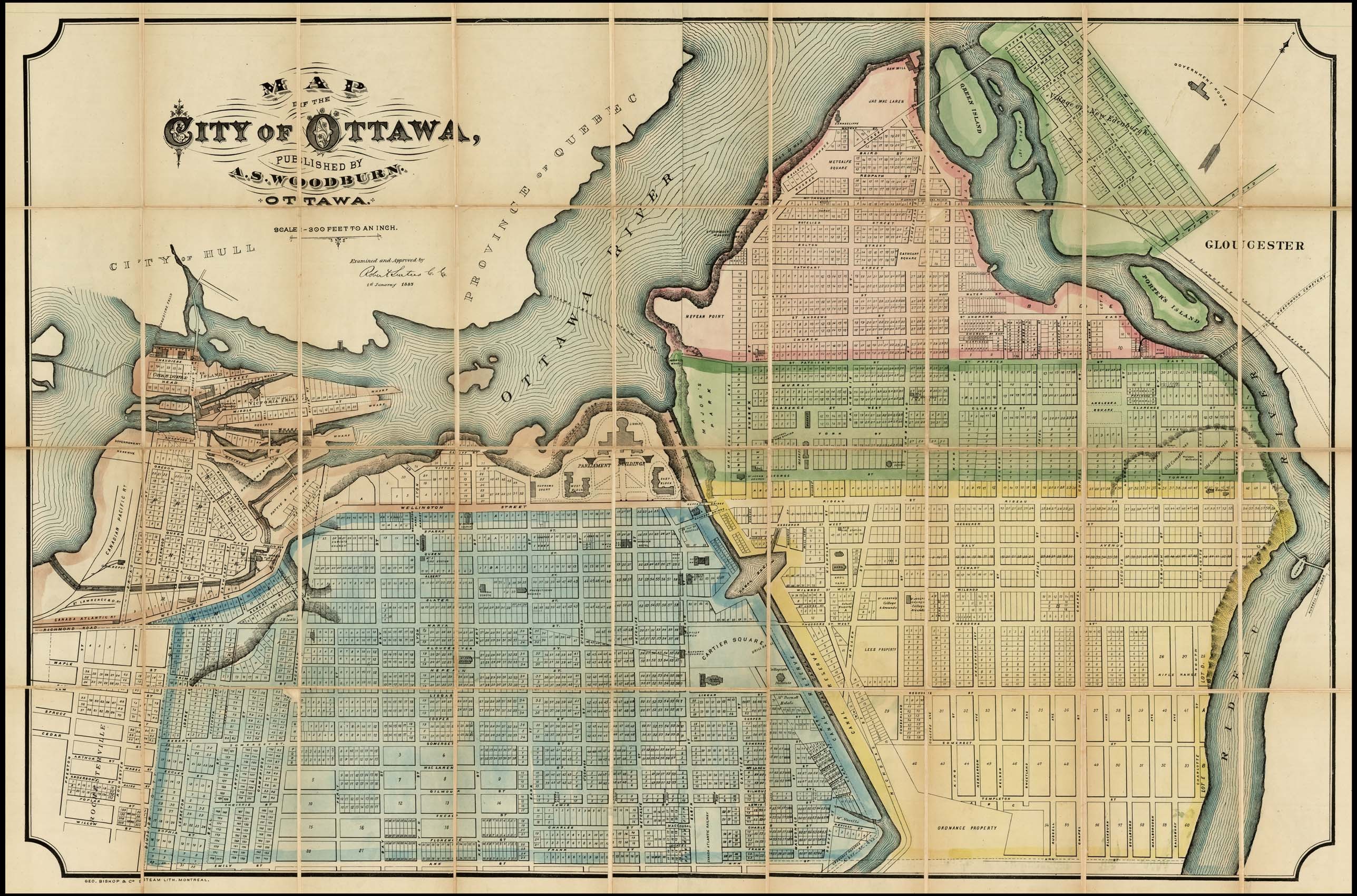
Somerset Street is a street in Ottawa, Ontario, Canada. It is divided into Somerset Street East and Somerset Street West by the Rideau Canal.

Contents

Somerset Street East

Somerset Street East is a short road that runs through the neighbourhood of Sandy Hill from the University of Ottawa campus to the west and Strathcona Park to the east. Somerset also used to extend east over the Rideau River towards St. Laurent Boulevard. However, that bridge was destroyed by flooding in 1952 [1] and never replaced. The street was renamed Donald Street east of the river. In 2015, a new bicycle/pedestrian bridge (Adàwe Crossing) was completed across the river on the site of the old bridge, [2] and the street has become an important bicycle corridor between the university and downtown Ottawa. By 2017, bicycle volumes accounted for 65% of street traffic and the street was re-striped with advisory bike lanes. [3]

Somerset Street West

Modern view of Somerset Street West at Elgin Street, 2008 Somerset Street Ottawa.JPG
Modern view of Somerset Street West at Elgin Street, 2008
Somerset Street sign in Chinatown. Chinatownsomerset.JPG
Somerset Street sign in Chinatown.
Somerset Square forms the western terminus of Somerset Street, when it turns into Wellington Street West. Somersetsq.JPG
Somerset Square forms the western terminus of Somerset Street, when it turns into Wellington Street West.

Also known as Ottawa Road #36, Somerset Street West begins at the Queen Elizabeth Driveway in the east and continues west to Wellington Street West where it ends at Somerset Square. Somerset Street West houses the backbone of Ottawa's Chinatown, between Bay Street in the east to Preston Street in the west, which is the centre of Ottawa's Little Italy. The area of the street between Bank and O'Connor is known as Somerset Village.

The section west of Booth street was formerly known as Cedar Street, and the section between Booth and Bell streets was formerly Reserve Street. [4]

The Ottawa Electric Railway ran along Somerset Street West between Bank Street going west towards Britannia Park. [5]

331 Somerset Street, a former home of Canadian Prime Minister William Lyon Mackenzie King from 1901 to 1910 during his time as Minister of Labour, is designated as an Ottawa heritage property. [6] [7] [8]

In between

In the 1870s, as the area was developed, a bridge was proposed linking the two Somerset Streets over the Rideau Canal. [9] However, this bridge never came into existence. Today, on the east side of the canal, there is a pedestrian link from the multi-use pathway that runs alongside the canal, across Colonel By Drive, and under Nicholas Street and the transitway, onto the University of Ottawa campus. The street continues through the campus as Marie Curie Private, with traffic restricted to bicycles in the westbound direction.

The Corktown Footbridge connects the two sides, but is restricted to non-motorized traffic. The bridge opened to the public on September 21, 2006.

Related Research Articles

<span class="mw-page-title-main">Bank Street (Ottawa)</span> Street in Ottawa, Ontario, Canada

Bank Street is the major commercial north–south street in Ottawa, Ontario, Canada. It runs south from Wellington Street in downtown Ottawa, south through the neighbourhoods of Centretown, The Glebe, Old Ottawa South, Alta Vista, Hunt Club, and then through the villages of Blossom Park, Leitrim, South Gloucester, Greely, Metcalfe, Spring Hill, and Vernon before ending at the city limit at Belmeade Road, becoming Stormont, Dundas and Glengarry county highway 31.

<span class="mw-page-title-main">Heron Road (Ottawa)</span> Street in Ottawa, Canada

Heron Road is a major road in Ottawa, Ontario, Canada. It runs from Walkley Road at an angle to the Rideau River, where it turns into Baseline Road. Heron is home to the Sir Leonard Tilley Building, the Canada Post headquarters, and the Edward Drake Building. It is also home to St. Patrick's Intermediate High School and Herongate Mall.

<span class="mw-page-title-main">Rideau Street</span> Street in Ottawa, Ontario, Canada

Rideau Street is a major street in downtown Ottawa, Ontario, Canada, and one of Ottawa's oldest and most famous streets running from Wellington Street in the west to Montreal Road in the east where it connects to the Vanier district. Rideau Street is home to the Château Laurier, the CF Rideau Centre and the Government Conference Centre. Along with Wellington Street and Sussex Drive it was among the first streets in Ottawa to be host to businesses; it was created with the founding of the early town. The Plaza Bridge by the Rideau Canal is at its westmost point and the Cummings Bridge is at its eastmost point.

<span class="mw-page-title-main">Sussex Drive</span> Ceremonial road in Ottawa

Sussex Drive, also known as Ottawa Regional Road 93, is an arterial road in Ottawa, Ontario, the capital of Canada. It is one of the city's main ceremonial and institutional routes. Travelling roughly parallel to the Ottawa River, Sussex Drive begins as a continuation of Sir George-Étienne Cartier Parkway at Rideau Gate, at the entrance to Rideau Hall. It travels south to Rideau Street, with the portion south of St. Patrick Street forming the northbound half of a one-way pair with Mackenzie Avenue. Both Mackenzie Avenue and Sussex Drive connect with Colonel By Drive at their southern end, which continues south alongside the Rideau Canal.

<span class="mw-page-title-main">Laurier Avenue</span>

Laurier Avenue is a central east west street running through Ottawa, Ontario, Canada. Originally known as "Maria Street" and "Theodore Street", it was renamed in honour of Canadian Prime Minister Sir Wilfrid Laurier. Laurier House, the residence of Prime Ministers Laurier and William Lyon Mackenzie King, is located at the corner of Laurier Avenue East and Chapel Street.

<span class="mw-page-title-main">Wellington Street (Ottawa)</span> Major street in Ottawa, Canada

Wellington Street is a major street in Ottawa, Canada. It is notable for being the main street of the Parliamentary Precinct of the Parliament of Canada. It is one of the first two streets laid out in Bytown in 1826. The street runs from Vimy Place, just west of Booth Street, to the Rideau Canal where it connects with Rideau Street and delimits the northern border of the downtown core. It is named after the Duke of Wellington, in recognition of his role in the creation of the Rideau Canal, and therefore of Ottawa.

<span class="mw-page-title-main">Baseline Road (Ottawa)</span> Road in Ottawa, Ontario, Canada

Baseline Road is a road in Ottawa, Ontario, Canada.

<span class="mw-page-title-main">Colonel By Drive</span> Scenic parkway in Ottawa, Ontario, Canada

Colonel By Drive is an 8.1 km (5.0 mi) long scenic parkway in Ottawa, Ontario, Canada.

uOttawa station Transit station in Ottawa, Canada

uOttawa is a light rail transit (LRT) station on the O-Train Confederation Line, located on the University of Ottawa campus.

<span class="mw-page-title-main">Elgin Street (Ottawa)</span>

Elgin Street is a street in the Downtown core of Ottawa, Ontario, Canada. Originally named Biddy's Lane, it was later named after Lord Elgin.

<span class="mw-page-title-main">Kichi Zibi Mikan</span> Parkway in Ottawa, Ontario, Canada

The Kichi Zībī Mīkan, formerly the Sir John A. Macdonald Parkway, and previously the Ottawa River Parkway, is a four-lane scenic parkway along the Ottawa River in Ottawa, Ontario, Canada. It runs from Carling Avenue near Connaught Avenue, to Booth Street at the Canadian War Museum and National Holocaust Monument. It is maintained by the National Capital Commission. The speed limit is 60 km/h (37 mph). Bicycles are allowed on the road and on a parallel recreational path along the parkway.

<span class="mw-page-title-main">Confederation Park</span> Historic site in Ontario, Canada

Confederation Park(French: Parc de la Confédération) is a public park and National Historic Site of Canada, located in the downtown core of Ottawa, Ontario, Canada. It is bordered on the south by Laurier Avenue and Ottawa City Hall; on the east by the Rideau Canal and National Defence Headquarters; on the north by the Mackenzie King Bridge, the Rideau Centre and the National Arts Centre; and to the west by Elgin Street and the Lord Elgin Hotel.

<span class="mw-page-title-main">Lower Town</span> Neighbourhood in Ottawa, Ontario, Canada

Lower Town (also spelled "Lowertown" is a neighbourhood in Rideau-Vanier Ward in central Ottawa, Ontario, Canada, to the east of downtown. It is the oldest part of the city. It is bounded by Rideau Street to the south, the Ottawa River to the west and north and the Rideau River to the east. It includes the commercial Byward Market area in the south-western part, and is predominantly residential in the north and east.

The Corktown Footbridge is a pedestrian footbridge over the Rideau Canal in Ottawa, Ontario, Canada. The 70-metre (230 ft) bridge is located about 400 m (1,300 ft) south of the Laurier Avenue Bridge and connects the University of Ottawa campus with the Golden Triangle neighbourhood. It was opened on 21 September 2006.

<span class="mw-page-title-main">Nicholas Street</span> Street in Ottawa, Canada

Nicholas Street is an arterial road in the central area of Ottawa, Ontario which connects Highway 417 with the downtown core. Despite being a municipal road, the street is designated as part of Canada's National Highway System, as part of an interconnecting route between Highway 417 and Quebec Autoroute 5 in Gatineau.

<span class="mw-page-title-main">King Edward Avenue (Ottawa)</span> Avenue in Ottawa

King Edward Avenue is a major thoroughfare in the eastern part of Ottawa, Ontario, Canada. Despite being a municipal road, a portion of the street is designated as part of Canada's National Highway System, as part of an interconnecting route between Ontario Highway 417 in Ottawa and Quebec Autoroute 5 in Gatineau.

<span class="mw-page-title-main">Gladstone Avenue</span>

Gladstone Avenue is a street in Ottawa running east from the Rideau Canal west to Parkdale Avenue. It is a historically residential street running just south of the downtown core, with a number of small houses in the downtown section now converted to commercial uses. The local pronunciation is phonetic, unlike that of William Ewart Gladstone's surname.

The Plaza Bridge in Ottawa, Ontario, Canada, is an automotive and pedestrian bridge that crosses the Rideau Canal just south of the Ottawa locks. It joins Wellington Street and Elgin Street in the Downtown core to the west with Rideau Street to the east. The Chateau Laurier abuts the bridge at the east end, while Parliament Hill is just beyond the west end. It is the northernmost bridge over the canal, just north of the Mackenzie King Bridge.

<span class="mw-page-title-main">Capital Pathway</span> Bike and pedestrian pathway in Canada

The Capital Pathway, also known informally as the Bike Path, is a 220-kilometre (140 mi) recreational pathway interlinking many parks, waterways and sites in Ottawa, Ontario and Gatineau, Quebec. Most of the pathway is paved, and allows an almost continuous route through the National Capital Region.

<span class="mw-page-title-main">Adàwe Crossing</span> Canadian bridge across the Rideau River in Ottawa

The Adàwe Crossing is a pedestrian and cyclist bridge in Ottawa, Ontario, Canada, built across the Rideau River. It is located about 1,200 metres (1,300 yd) north (downstream) of the Highway 417 bridge and 800 metres (870 yd) south (upstream) from the Cummings Bridge. It was opened on December 4, 2015 and links the communities of Overbrook and Sandy Hill.

References

  1. "New pedestrian, cyclist bridge over Rideau River opens ahead of schedule". CBC News (Ottawa). Canadian Broadcasting Corporation. 5 December 2015. Retrieved 6 May 2019.
  2. McGoldrick, Michael. "New pedestrian and cycling bridge over the Rideau River now open". GoBiking.ca. Michael McGoldrick. Retrieved 6 May 2019.
  3. Alta Planning + Design, (August 2017). Advisory Bike Lanes in North America, p. 34
  4. "Map of Ottawa 1865". Ottawa History and Heritage in pictures.
  5. "Ottawa 1948". www.tundria.com.
  6. Centretown News, Ainslie Cruickshank, October 27, 2010, Somerset St West
  7. March 7, 1997 Ottawa Citizen, "Mackenzie King's Former Residence is Beyond Repair", Tony Lofaro.
  8. Ainslie Kerr, "Clothes Closet Phone for the Young WLMK", Ottawa Citizen, June 27, 1951, p. 3
  9. Maclaren, J. Plan of the By Estate, 1871
Template:Attached KML/Somerset Street (Ottawa)
KML is from Wikidata

A large public weblog of photographs of many buildings on Somerset Street West made after 2003 is available at somerset street prototype [1]

  1. "somerset street prototype". somerset street prototype. Retrieved 2019-09-24.