Sparkill, New York | |
|---|---|
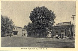 1909 image of Depot Square in Sparkill. | |
 Location in Rockland County and the state of New York. | |
 Sparkill, New York Location within the state of New York | |
| Coordinates: 41°1′48″N73°55′41″W / 41.03000°N 73.92806°W | |
| Country | United States |
| State | New York |
| County | Rockland |
| Town | Orangetown |
| Area | |
• Total | 0.53 sq mi (1.37 km2) |
| • Land | 0.53 sq mi (1.37 km2) |
| • Water | 0.00 sq mi (0.00 km2) |
| Population (2020) | |
• Total | 1,581 |
| • Density | 2,983.02/sq mi (1,152.47/km2) |
| Time zone | UTC-5 (Eastern (EST)) |
| • Summer (DST) | UTC-4 (EDT) |
| ZIP code | 10976 |
| Area code | 845 |
| FIPS code | 36-70068 |
| GNIS feature ID | 02631237 |
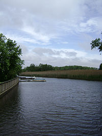
Sparkill, formerly known as Tappan Sloat, is a suburban hamlet and census-designated place in the Town of Orangetown, Rockland County, New York, United States located north of Palisades; east of Tappan; south of Piermont and west of the Hudson River. As of the 2010 census, the CDP had a population of 1,565. [2] The hamlet is home to St. Thomas Aquinas College and the Dominican Sisters of Sparkill.