Spencer (CDP), Massachusetts

Last updated

Spencer, Massachusetts
CDP
Spencer Center - panoramio (64).jpg
Main Street
Worcester County Massachusetts incorporated and unincorporated areas Spencer (CDP) highlighted.svg
Location in Worcester County and the state of Massachusetts.
Coordinates: 42°14′36″N71°59′40″W / 42.24333°N 71.99444°W / 42.24333; -71.99444 Coordinates: 42°14′36″N71°59′40″W / 42.24333°N 71.99444°W / 42.24333; -71.99444
Country United States
State Massachusetts
County Worcester
Area
[1]
  Total2.17 sq mi (5.63 km2)
  Land2.11 sq mi (5.46 km2)
  Water0.06 sq mi (0.16 km2)
Elevation
856 ft (261 m)
Population
 (2020)
  Total5,810
  Density2,754.86/sq mi (1,063.49/km2)
Time zone UTC-5 (Eastern (EST))
  Summer (DST) UTC-4 (EDT)
ZIP code
01562
Area code(s) 508
FIPS code 25-66070
GNIS feature ID0610417

Spencer is a census-designated place (CDP) in the town of Spencer in Worcester County, Massachusetts, United States. The population was 5,700 at the 2010 census.

Contents

Geography

Spencer is located at 42°14′35″N71°59′39″W / 42.24306°N 71.99417°W / 42.24306; -71.99417 (42.243276, -71.99437). [2]

According to the United States Census Bureau, the CDP has a total area of 5.7 square kilometres (2.2 sq mi), of which 5.5 square kilometres (2.1 sq mi) is land and 0.2 square kilometres (0.077 sq mi) (2.74%) is water.

Demographics

Historical population
CensusPop.
2020 5,810
U.S. Decennial Census [3]

At the 2000 census, [4] there were 6,032 people, 2,554 households and 1,527 families residing in the CDP. The population density was 1,093.4 per square kilometre (2,832/sq mi). There were 2,722 housing units at an average density of 493.4 per square kilometre (1,278/sq mi). The racial make-up was 97.58% White, 0.61% Black or African American, 0.31% Native American, 0.28% Asian, 0.02% Pacific Islander, 0.41% from other races and 0.78% from two or more races. Hispanic or Latino of any race were 1.61% of the population.

There were 2,554 households, of which 29.8% had children under the age of 18 living with them, 42.8% were married couples living together, 12.5% had a female householder with no husband present and 40.2% were non-families. 33.0% of all households were made up of individuals, and 13.5% had someone living alone who was 65 years of age or older. The average household size was 2.35 and the average family size was 2.98.

24.4% of the population were under the age of 18, 9.9% from 18 to 24, 30.7% from 25 to 44, 20.9% from 45 to 64 and 14.1% were 65 years of age or older. The median age was 35 years. For every 100 females, there were 91.8 males. For every 100 females age 18 and over, there were 89.3 males.

The median household income was $35,206 and the median family income was $46,333. Males had a median income of $36,563 and females $25,738. The per capita income was $18,975. About 9.0% of families and 12.0% of the population were below the poverty line, including 16.6% of those under age 18 and 11.7% of those age 65 or over.

Related Research Articles

North Crossett, Arkansas CDP in Arkansas, United States

North Crossett is a census-designated place (CDP) in Ashley County, Arkansas, United States. Per the 2020 census, the population was 2,756.

Andrews, Levy County, Florida Census-designated place in Florida, United States

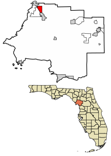
Andrews is a census-designated place (CDP) in Levy County, Florida, United States. The population was 798 at the 2010 census.

South Bradenton, Florida CDP in Florida, United States

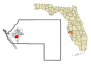
South Bradenton is a census-designated place (CDP) in Manatee County, Florida, United States. The population was 26,858 at the 2020 census. It is part of the Bradenton–Sarasota–Venice Metropolitan Statistical Area.

Olympia Heights, Florida Neighborhood in Miami-Dade, Florida, United States

Olympia Heights is a neighborhood in Miami-Dade County, Florida, United States. The population was 13,488 at the 2010 census.

Hana, Hawaii Census-designated place in Hawaii, United States

Hāna is a census-designated place (CDP) in Maui County, Hawaii, United States. The population was 1,526 at the 2020 census. Hana is located at the eastern end of the island of Maui and is one of the most isolated communities in the state. It is reached mainly via the Hāna Highway, a long, winding, 52-mile-long (84 km) highway along Maui's northern shore, via boat, and with commercial air service to Hāna airport.

Gages Lake is a census-designated place (CDP) in Warren Township, Lake County, Illinois, United States. The population was 10,637 at the 2020 census.

Goddard, Maryland Unincorporated community in Maryland

Goddard is an unincorporated community and former census-designated place (CDP) in Prince George's County, Maryland, United States. It was named after the physicist Robert H. Goddard. The population was 5,554 in the 2000 census. The area was no longer a census-designated place as of the 2010 census.

Eastport, New York Hamlet and census-designated place in New York, United States

Eastport is a hamlet and census-designated place (CDP) in Suffolk County, New York, on the South Shore of Long Island. The population was 1,831 at the 2010 census.

Eatons Neck, New York Hamlet and census-designated place in New York, United States

Eatons Neck is a hamlet and census-designated place (CDP) in the Town of Huntington, Suffolk County, New York, United States. The population was 1,406 at the 2010 census. Students attend the Northport-East Northport Union Free School District. There is a United States Coast Guard station on the northern tip of Eatons Neck.

Keener is a census-designated place (CDP) in Sampson County, North Carolina, United States. The population was 508 at the 2000 census.

Irwin, South Carolina Census-designated place in South Carolina, United States

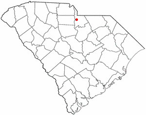
Irwin is an unincorporated community and census-designated place (CDP) in Lancaster County, South Carolina, United States. The population was 1,405 at the 2010 census.

Merrifield, Virginia Census-designated place in Virginia, United States

Merrifield is a census-designated place (CDP) in Fairfax County, Virginia, United States. The population was 15,212 at the 2010 census.

Silver Firs, Washington CDP in Washington, United States

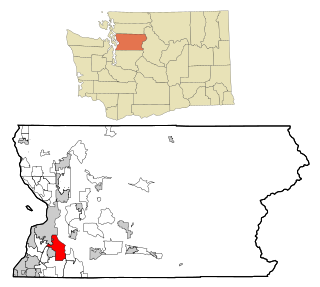
Silver Firs is a census-designated place (CDP) in Snohomish County, Washington, United States. The population was 20,891 at the 2010 census. It lies northeast of the city of Mill Creek. Silver Firs is one of two CDPs that were created out of the former Seattle Hill-Silver Firs CDP in 2010, the other being Eastmont.

Mineralwells, West Virginia CDP in West Virginia, United States

Mineralwells, also known as Mineral Wells, is a census-designated place (CDP) in Wood County, West Virginia, United States. It is part of the Parkersburg-Marietta-Vienna, WV-OH Metropolitan Statistical Area. The population was 1,950 at the 2010 census.

Eagle Lake, Wisconsin CDP in Wisconsin, United States

Eagle Lake is a census-designated place (CDP) in the town of Dover, Racine County, Wisconsin, United States. The population was 1,192 at the 2010 census.

Casper Mountain, Wyoming CDP in Wyoming, United States

Casper Mountain is a census-designated place (CDP) on Casper Mountain in Natrona County, Wyoming, United States. It is part of the Casper, Wyoming Metropolitan Statistical Area. The population was 401 at the 2010 census.

Coeymans is a hamlet in Albany County, New York, United States. It is located on Route 144 in the southeastern part of the Town of Coeymans. The population was 835 at the 2000 census, which listed the community as a census-designated place (CDP), but it was not included as a CDP in the 2010 census.

Tonawanda (CDP), New York Census-designated place in New York, United States

Tonawanda is a census-designated place (CDP) in Erie County, New York, United States. The CDP comprises the town of Tonawanda minus its subsidiary village of Kenmore. As of the 2010 census, the CDP population was 58,144.

Eastchester (CDP), New York CDP in New York, United States

Eastchester is a census-designated place (CDP) in Westchester County, New York, United States. The population was 19,554 at the 2010 census. The Eastchester CDP consists of the Town of Eastchester excluding the villages of Bronxville and Tuckahoe.

Milo (CDP), Maine CDP in Maine, United States

Milo is a census-designated place (CDP) in the town of Milo in Piscataquis County, Maine, United States. The population was 1,898 at the 2000 census.

References

  1. "2020 U.S. Gazetteer Files". United States Census Bureau. Retrieved 21 May 2022.
  2. "US Gazetteer files: 2010, 2000, and 1990". United States Census Bureau. 12 February 2011. Retrieved 23 April 2011.
  3. "Census of Population and Housing". Census.gov. Retrieved 4 June 2016.
  4. "U.S. Census website". United States Census Bureau . Retrieved 31 January 2008.