| |
| Formation | 1973 [1] |
|---|---|
| Type | Non-profit [1] |
| Purpose | Encourage the preservation of buildings, landmarks and structures in Washington County, Pennsylvania [1] |
| Location |
|
Region served | Washington County, Pennsylvania |
Washington County History & Landmarks Foundation is a non-profit educational institution in Washington, Pennsylvania, United States. Its purpose is to encourage and assist the preservation of historic structures in Washington County, Pennsylvania. [1] The foundation operates its own landmark certification process, as well as working with the National Park Service to document and place landmarks on the National Register of Historic Places. [1] It also offers advice and assistance for historic building owners who wish to preserve their facilities. [1] Since its inception, the foundation has been successful in helping many historic building owners in the preservation of their structures. [1]
Contents
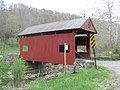
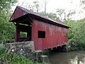
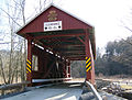
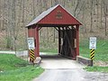
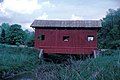
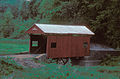
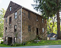
- Bridges
- Historic districts
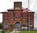
- Public landmarks
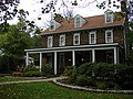
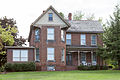
- Residential landmarks and farmsteads
- See also
- References
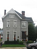
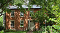
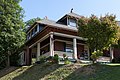
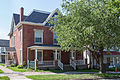
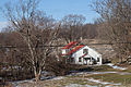
For a number of years, the foundation has been in conflict with Washington & Jefferson College. In 1968, the college's campus master plan called for the expansion of the campus eastward towards Wade Avenue in East Washington Borough, a plan that placed them in conflict with the residents of that area. [2] For the next 30 years, the college maintained a policy of purchasing any homes in that area as they became available. [3] In response, the Washington County History and Landmarks Foundation was able to get the East Washington Historic District, a collection of 120 Victorian homes in that area, added to the National Register of Historic Places in 1984. [4] The college opposed the designation but did not object in time to prevent it. [5] According to College President Howard J. Burnett, the district "was structured to prevent expansion of the college." [5]
In the 1990s, the hard feelings between some residents and the college came to a head, with residents trying to have the Borough enact anti-demolition laws to block expansion and a meeting of the Washington County History and Landmarks Foundation deteriorated into a shouting match between residents and college officials. [2] Burnett maintained that the expansion was beneficial to the community and that the opposition came from a small and non-representative group on Wade Avenue. [6] He also questioned the historic value of many of the designated homes, pointing out that many of them were in very poor shape and others were vacant. [6] As of 1995, the college owned about 30 properties listed in the historic district. [4] In the end, efforts to block the demolition of these buildings, including several which were part of the historic district, were unsuccessful. [6] [7] Notably, one 140-year-old farm house at 137 South Wade Street, which the college had acquired in 1977 after being vacant for several years, was moved to a new location outside of town. [4]
In 2009, the foundation sponsored an architectural survey of buildings in the African American areas of Washington. [8]