Welda Township | |
|---|---|
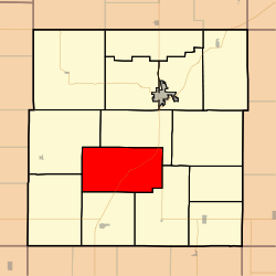 Location in Anderson County | |
| Coordinates: 38°09′45″N095°19′31″W / 38.16250°N 95.32528°W | |
| Country | United States |
| State | Kansas |
| County | Anderson |
| Area | |
• Total | 44.8 sq mi (116.0 km2) |
| • Land | 44.4 sq mi (115.1 km2) |
| • Water | 0.39 sq mi (1.0 km2) 0.83% |
| Elevation | 1,079 ft (329 m) |
| Population (2010) | |
• Total | 290 |
| • Density | 6.5/sq mi (2.5/km2) |
| GNIS feature ID | 0477893 |
Welda Township is a township in Anderson County, Kansas, United States. As of the 2010 census, its population was 290. [1]
