
Aratula is a rural town and locality in the Scenic Rim Region, Queensland, Australia. In the 2021 census, the locality of Aratula had a population of 609 people.

Bromelton is a rural locality in the Scenic Rim Region, Queensland, Australia. In the 2021 census, the locality of Bromelton had a population of 129 people.

Kalbar is a rural town and locality in the Scenic Rim Region, Queensland, Australia. In the 2021 census, the locality of Kalbar had a population of 1,246 people.

Rosevale is a rural locality in the Scenic Rim Region, Queensland, Australia. In the 2021 census, the locality of Rosevale had a population of 212 people.

Warrill View is a rural town and locality in the Scenic Rim Region, Queensland, Australia. In the 2021 census, the locality of Warrill View had a population of 203 people.
Templin is a rural locality in the Scenic Rim Region, Queensland, Australia. In the 2021 census, Templin had a population of 89 people.

Silverdale is a rural locality in the Scenic Rim Region, Queensland, Australia. In the 2021 census, Silverdale had a population of 112 people.
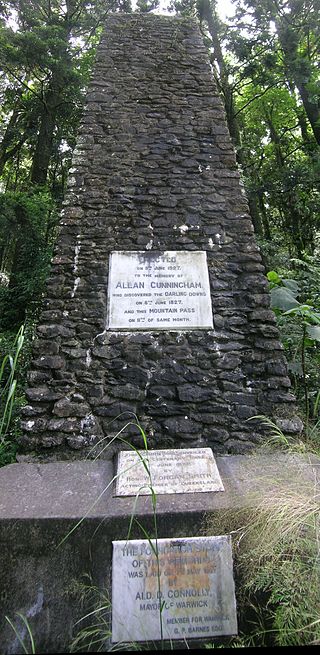
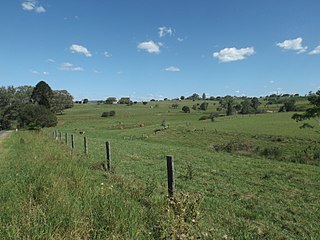
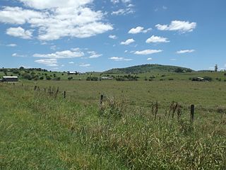
Tregony is a locality in the Southern Downs Region, Queensland, Australia. It is one of the major gateways to the Darling Downs from the Queensland coast. In the 2021 census, Tregony had a population of 36 people.

Coulson is a rural locality in the Scenic Rim Region, Queensland, Australia. In the 2021 census, Coulson had a population of 168 people.
Milford is a rural locality in the Scenic Rim Region, Queensland, Australia. In the 2021 census, Milford had a population of 190 people.

Charlwood is a rural locality in the Scenic Rim Region, Queensland, Australia. In the 2021 census, Charlwood had a population of 146 people.

Hoya is a rural locality in the Scenic Rim Region, Queensland, Australia. In the 2021 census, Hoya had a population of 251 people.

Bunjurgen is a rural locality in the Scenic Rim Region, Queensland, Australia. In the 2021 census, Bunjurgen had a population of 107 people.

Fassifern is a rural locality in the Scenic Rim Region, Queensland, Australia. In the 2021 census, Fassifern had a population of 18 people.

Fassifern Valley is a rural locality in the Scenic Rim Region, Queensland, Australia. In the 2021 census, Fassifern Valley had a population of 112 people.
Milbong is a rural locality in the Scenic Rim Region, Queensland, Australia. In the 2021 census, Milbong had a population of 190 people.

Mount Edwards is a rural locality in the Scenic Rim Region, Queensland, Australia. In the 2021 census, Mount Edwards had a population of 60 people.

Moorang is a rural locality in the Scenic Rim Region, Queensland, Australia. In the 2021 census, Moorang had a population of 47 people.
Morwincha is a rural locality in the Scenic Rim Region, Queensland, Australia. In the 2021 census, Morwincha had a population of 35 people.
Wallaces Creek is a rural locality in the Scenic Rim Region, Queensland, Australia. In the 2021 census, Wallaces Creek had a population of 74 people.


