
Boonah is a rural town and locality in the Scenic Rim Region, Queensland, Australia. In the 2016 census the locality of Boonah had a population of 2,484 people.

Roadvale is a rural locality in the Scenic Rim Region, Queensland, Australia. In the 2016 census, Roadvale had a population of 286 people.

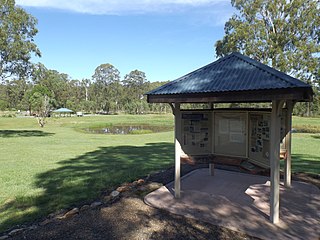
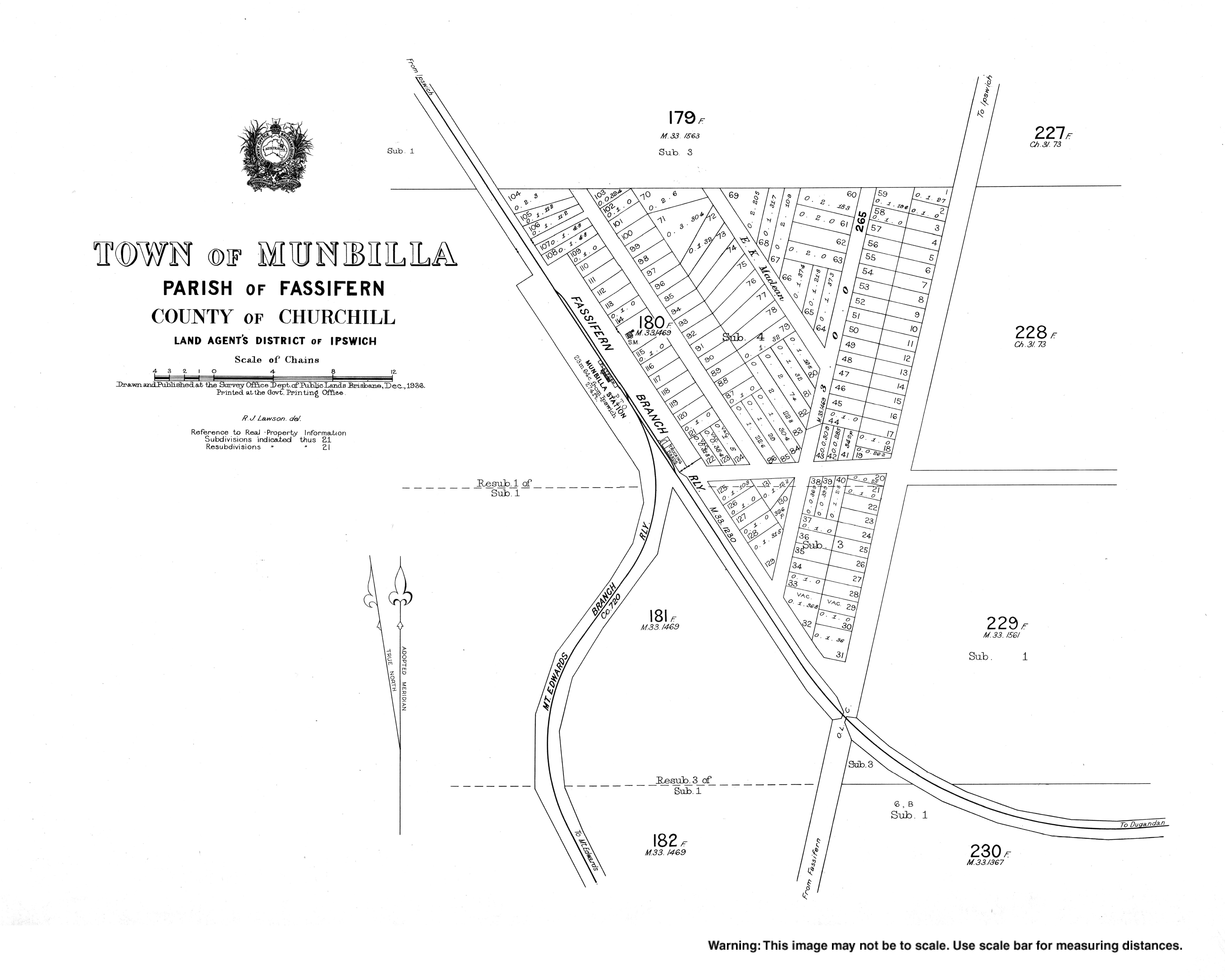
The Dugandan railway line was a branch railway in the Scenic Rim region of South East Queensland, Australia. It was also known as the Fassifern railway line. It operated from 1882 to 1964.
The Mount Edwards railway line was a branch railway in the Scenic Rim region of South East Queensland, Australia. The lines serves a number of small towns in the Fassifern Valley.

Kalbar is a rural town and locality in the Scenic Rim Region, Queensland, Australia. In the 2016 census, Kalbar had a population of 1,093 people.

Dugandan is a rural town and locality in the Scenic Rim Region, Queensland, Australia. In the 2016 census, Dugandan had a population of 593 people.

Purga is a rural locality in the City of Ipswich, Queensland, Australia. In the 2016 census, Purga had a population of 576 people.

Harrisville is a rural town and locality in the Scenic Rim Region, Queensland, Australia. In the 2016 census the locality of Harrisville had a population of 613 people.

Peak Crossing is a rural locality split between the City of Ipswich and the Scenic Rim Region of Queensland, Australia. In the 2016 census, Peak Crossing had a population of 965 people.
Goolman is a rural locality in the City of Ipswich, Queensland, Australia. At the 2016 Australian Census, Goolman recorded a population of 42.

Wilsons Plains is a rural locality in the Scenic Rim Region, Queensland, Australia. In the 2016 census Wilsons Plains had a population of 50 people.

Kents Lagoon is a rural locality in the Scenic Rim Region, Queensland, Australia. In the 2016 census, Kents Lagoon had a population of 56 people.

Teviotville is a rural locality in the Scenic Rim Region, Queensland, Australia. In the 2016 census, Teviotville had a population of 125 people.

Charlwood is a rural locality in the Scenic Rim Region, Queensland, Australia. In the 2016 census Charlwood had a population of 139 people.

Hoya is a locality in the Scenic Rim Region, Queensland, Australia. In the 2016 census, Hoya had a population of 220 people.

Blantyre is a rural locality in the Scenic Rim Region, Queensland, Australia. In the 2016 census, Blantyre had a population of 59 people.>
Fassifern Valley is a locality in the Scenic Rim Region, Queensland, Australia. In the 2016 census, Fassifern Valley had a population of 91.
Anthony is a rural locality in the Scenic Rim Region, Queensland, Australia. In the 2016 census, Anthony had a population of 111 people.
Kulgun is a locality in the Scenic Rim Region, Queensland, Australia. In the 2016 census, Kulgun had a population of 67 people.
Radford is a locality in the Scenic Rim Region, Queensland, Australia.

