Habra is a city and a municipality in Barasat sadar subdivision of North 24 Parganas district in the Indian state of West Bengal. It is situated on the Jessore Road between Kolkata and the Bangladesh border at Petrapole. Its location makes it an important town for export and import of goods between India and Bangladesh.
Bara Bamonia is a census town in the Habra II CD block of Barasat Sadar subdivision in North 24 Parganas district in the state of West Bengal, India.
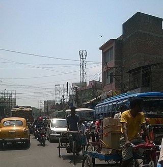
Guma is a census town in the Habra II CD block of Barasat sadar subdivision in North 24 Parganas district in the Indian state of West Bengal.
Maslandapur is a census town in the Habra I CD block in Barasat sadar subdivision of North 24 Parganas district in the Indian state of West Bengal.
Duttapukur is a census town and a gram panchayat in the Barasat I CD block in the Barasat Sadar subdivision in the North 24 Parganas district in the Indian state of West Bengal.
Nokpul is a census town in the Habra I CD block in the Barasat sadar subdivision in the North 24 Parganas district in the Indian state of West Bengal.
Sadpur is a census town in the Habra I CD block in the Barasat Sadar subdivision in the North 24 Parganas district in the Indian state of West Bengal.
Berunanpukuria is a village in the Barasat I CD block in the Barasat Sadar subdivision of the North 24 Parganas district in the Indian state of West Bengal.
Barbaria is a village in the Barasat I CD block in the Barasat Sadar subdivision of the North 24 Parganas district in the state of West Bengal, India.
Dhania is a census town in the Amdanga CD block in the Barasat Sadar subdivision in the North 24 Parganas district in the Indian state of West Bengal.
Chandrapur is a census town in the Barasat I CD block in the Barasat Sadar subdivision in the North 24 Parganas district in the Indian state of West Bengal.
Chatta Baria is a census town in the Barasat I CD block in the Barasat Sadar subdivision in the North 24 Parganas district in the Indian state of West Bengal.
Digha is a census town in the Barasat I CD block in the Barasat Sadar subdivision in the North 24 Parganas district in the Indian state of West Bengal.
Gangapur is a census town in the Barasat I CD block in the Barasat Sadar subdivision in the North 24 Parganas district in the Indian state of West Bengal.
Joypul is a census town in the Barasat I CD block in the Barasat Sadar subdivision in the North 24 Parganas district in the Indian state of West Bengal.
Kokapur is a census town in the Barasat I CD block of the Barasat Sadar subdivision in the North 24 Parganas district in the Indian state of West Bengal.
Koyra is a census town in the Barasat I CD block in the Barasat Sadar subdivision in the North 24 Parganas district in the Indian state of West Bengal.
Kulberia is a census town in the Bhangar II CD block in the Baruipur subdivision in the South 24 Parganas district in the Indian state of West Bengal. It is a part of Kolkata Urban Agglomeration.
Shibalaya is a census town in the Barasat I CD block in the Barasat Sadar subdivision in the North 24 Parganas district in the Indian state of West Bengal.
Deara is a census town in the Barasat II CD block in the Barasat Sadar subdivision in the North 24 Parganas district in the Indian state of West Bengal.


