Raigachi is a census town in the Rajarhat CD block in the Barasat Sadar subdivision in North 24 Parganas district in the Indian state of West Bengal. It is close to Kolkata and also a part of Kolkata Urban Agglomeration.

Bidhannagar subdivision is an administrative subdivision of the North 24 Parganas district in the Indian state of West Bengal. After transferring Rajarhat-Gopalpur Municipality and Rajarhat to Bidhannagar subdivision, Bidhannagar subdivision's total area becomes 141.37 km2, the population becomes 808,251, and density becomes 5,700/km2.
Barasat Sadar subdivision is an administrative subdivision of the North 24 Parganas district in the Indian state of West Bengal. After transferring Rajarhat-Gopalpur Municipality and Rajarhat to Bidhannagar subdivision, Barasat Sadar subdivision's total area became 894.61 km2, population became 2,196,874 and density became 2,500/km2.

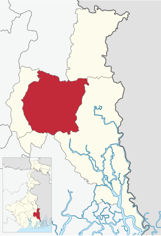
Rajarhat is a community development block that forms an administrative division in Bidhannagar subdivision of North 24 Parganas district in the Indian state of West Bengal.
Chatta Baria is a census town in the Barasat I CD block in the Barasat Sadar subdivision in the North 24 Parganas district in the Indian state of West Bengal. It is a part of Kolkata Urban Agglomeration.
Gangapur is a census town in the Barasat I CD block in the Barasat Sadar subdivision in the North 24 Parganas district in the Indian state of West Bengal. It is a part of Kolkata Urban Agglomeration.
Shibalaya is a census town in the Barasat I CD block in the Barasat Sadar subdivision in the North 24 Parganas district in the Indian state of West Bengal. It is a part of Kolkata Urban Agglomeration.
Chhekati is a census town in the Gaighata CD block in the Bangaon subdivision of North 24 Parganas district in the state of West Bengal, India.
Bara is a census town in the Gaighata CD block in the Bangaon subdivision of North 24 Parganas district in the state of West Bengal, India.
Betpuli is a census town in the Habra I CD block in the Barasat Sadar subdivision of the North 24 Parganas district in the state of West Bengal, India.
Uttar Bagundi is a census town in the Basirhat I CD block in the Basirhat subdivision of the North 24 Parganas district in the state of West Bengal, India.
Rekjuani is a census town in the Rajarhat CD block in the Bidhannagar subdivision of the North 24 Parganas district in the state of West Bengal, India.
Bhatenda is a census town in the Rajarhat CD block in the Bidhannagar subdivision of the North 24 Parganas district in the state of West Bengal, India.
Basina is a census town in the Rajarhat CD block in the Bidhannagar subdivision of the North 24 Parganas district in the state of West Bengal, India.
Bishnupur is a census town in the Rajarhat CD block in the Bidhannagar subdivision of the North 24 Parganas district in the state of West Bengal, India.
Chandpur Champagachhi is a census town in the Rajarhat CD block in the Bidhannagar subdivision of the North 24 Parganas district in the state of West Bengal, India.
Jatragachhi is a census town in the Rajarhat CD block in the Bidhannagar subdivision of the North 24 Parganas district in the state of West Bengal, India.
Sulangari is a census town in the Rajarhat CD block in the Bidhannagar subdivision of the North 24 Parganas district in the state of West Bengal, India.
Sadigachhi is a census town in the Hasnabad CD block in the Basirhat subdivision of the North 24 Parganas district in the state of West Bengal, India.
Bankra is a census town in the Hingalganj CD block in the Basirhat subdivision of the North 24 Parganas district in the state of West Bengal, India.


