Harpers Ferry is a city in Taylor Township, Allamakee County, Iowa, United States. The population was 262 at the time of the 2020 census.

Rembrandt is a city in Buena Vista County, Iowa, United States. The population was 209 at the time of the 2020 census.
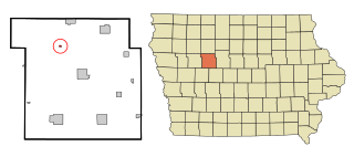
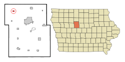
Jolley is a city in Calhoun County, Iowa, United States. The population was 28 at the time of the 2020 census.

Knierim is a city in Calhoun County, Iowa, United States. The population was 53 at the time of the 2020 census.
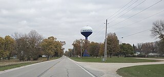
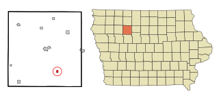
Manson is a city in Calhoun County, Iowa, United States. The population was 1,709 at the time of the 2020 census.

Pomeroy is a city in Calhoun County, Iowa, United States. The population was 526 at the time of the 2020 census.

Maynard is a city in Fayette County, Iowa, United States. The population was 476 at the time of the 2020 census.

Mondamin is a city in Harrison County, Iowa, United States. The population was 339 at the time of the 2020 census.

Hayesville is a city in Keokuk County, Iowa, United States. The population was 41 at the time of the 2020 census.

Webster is a city in Keokuk County, Iowa, United States. The population was 94 at the time of the 2020 census.
Craig is a city in Plymouth County, Iowa, United States. The population was 79 at the 2020 census.
Palmer is a city in Pocahontas County, Iowa, United States. The population was 138 at the time of the 2020 census.

Macedonia is a city in Pottawattamie County, Iowa, United States. The population was 267 at the time of the 2020 census.

Dixon is a city in Scott County, Iowa, United States. The population was 202 at the time of the 2020 census.

Maysville is a city in Scott County, Iowa, United States. The population was 156 at the time of the 2020 census.

McCausland is a city in Butler Township, Scott County, Iowa, United States. The population was 313 at the time of the 2020 census.

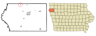
Barnum is a city in Webster County, Iowa, United States, just off U.S. Route 20. The population was 175 at the 2020 census.

Clarkson Valley is a city in St. Louis County, Missouri, United States. The population was 2,609 at the 2020 census.

McMechen is a city in Marshall County, West Virginia, United States, situated along the Ohio River. It is part of the Wheeling, West Virginia Metropolitan Statistical Area. The population was 1,714 at the 2020 census.
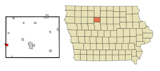
Gilmore City is a city in Humboldt and Pocahontas counties in the U.S. state of Iowa. The population was 487 at the time of the 2020 census.