
Lower Saxony is a German state in northwestern Germany. It is the second-largest state by land area, with 47,614 km2 (18,384 sq mi), and fourth-largest in population among the 16 Länder federated as the Federal Republic of Germany. In rural areas, Northern Low Saxon and Saterland Frisian are still spoken, albeit in declining numbers.
Landkreis Emsland is a district in Lower Saxony, Germany named after the river Ems. It is bounded by the districts of Leer, Cloppenburg and Osnabrück, the state of North Rhine-Westphalia, the district of Bentheim in Lower Saxony, and the Netherlands.
Osnabrück is a district (Landkreis) in the southwest of Lower Saxony, Germany. With 2,122 km2 it is the second largest district of Lower Saxony.
Diepholz is a district in Lower Saxony, Germany. It is bounded by the districts of Verden, Nienburg, Minden-Lübbecke, Osnabrück, Vechta and Oldenburg, and by the cities of Delmenhorst and Bremen. The most populous municipality is Stuhr at the border to Bremen.
Nienburg is a district (Landkreis) in Lower Saxony, Germany. It is bounded by the districts of Diepholz, Verden, Heidekreis, Hanover and Schaumburg, and by the state of North Rhine-Westphalia.
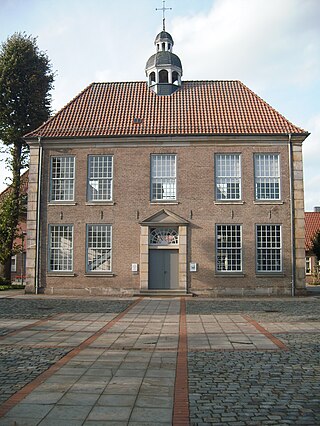
Schaumburg is a district (Landkreis) of Lower Saxony, Germany. It is bounded by the districts of Nienburg, Hanover and Hameln-Pyrmont, and the state of North Rhine-Westphalia.
Hildesheim is a district (Landkreis) in Lower Saxony, Germany. It is bounded by the districts of Hanover, Peine, Wolfenbüttel, Goslar, Northeim, Holzminden and Hameln-Pyrmont.
Breisgau-Hochschwarzwald is a Landkreis (district) in the southwest of Baden-Württemberg, Germany. Fifty towns and municipalities with 133 settlements lie within the district. The district itself belongs to the region of Freiburg with the region of Southern Upper Rhine.
Birkenfeld is a district (Landkreis) in Rhineland-Palatinate, Germany. Its seat is the town of Birkenfeld. It is bounded by the districts of Sankt Wendel (Saarland), Trier-Saarburg, Bernkastel-Wittlich, Rhein-Hunsrück, Bad Kreuznach and Kusel.
Dillingen is a Landkreis (district) in Swabia, Bavaria, Germany. It is bounded by the districts of Donau-Ries, Augsburg and Günzburg, and by the state of Baden-Württemberg.
Nordhausen is a Kreis (district) in the north of Thuringia, Germany. Neighboring districts are : Harz and Mansfeld-Südharz in Saxony-Anhalt; Kyffhäuserkreis and Eichsfeld in Thuringia; and Göttingen and Goslar in Lower Saxony.

Nordhorn is a town in Lower Saxony, Germany. It is the district seat of Grafschaft Bentheim in Lower Saxony's southwesternmost corner near the border with the Netherlands and the boundary with North Rhine-Westphalia.

Bad Bentheim is a town in the southwestern part of Lower Saxony, Germany, in the district of Grafschaft Bentheim on the borders of North Rhine-Westphalia and the Netherlands roughly 15 km south of Nordhorn and 20 km northeast of Enschede. It is a state-recognized thermal brine and sulphur spa town, hence the designation Bad (“Bath”). Also to be found in Bad Bentheim is the castle Burg Bentheim, the town's emblem.

The County of Bentheim was a state of the Holy Roman Empire, located in the south-west corner of today's Lower Saxony, Germany. The county's borders corresponded largely to those of the modern administrative district (Landkreis) of Grafschaft Bentheim.

The Province of Hanover was a province of the Kingdom of Prussia and the Free State of Prussia from 1866 to 1946.

Emlichheim is a municipality in the district of Grafschaft Bentheim in Lower Saxony, Germany, roughly 20 km south of Emmen, and 25 km northwest of Nordhorn.
Neuenhaus is a town in the district of Grafschaft Bentheim in Lower Saxony, and is the seat of a like-named collective municipality Neuenhaus. Neuenhaus lies on the rivers Dinkel and Vechte near the border with the Netherlands and is roughly 10 km northwest of Nordhorn, and 30 km north of Enschede.
Börde is a district in Saxony-Anhalt in Germany. Its seat is the town Haldensleben. It takes its name from the natural region Magdeburg Börde. It is the site of the Morsleben radioactive waste repository. The disposal of waste into the facility ended in 1998.

The County of Schaumburg, until ca. 1485 known as Schauenburg, was a state of the Holy Roman Empire, located in the present German state of Lower Saxony. Its territory was more or less congruent with the present district Landkreis Schaumburg.


