Dyer, Arkansas | |
|---|---|
 Outskirts of Dyer with Arkansas River in the background, July 2005 | |
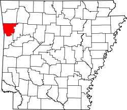
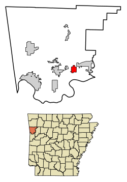 Location of Dyer in Crawford County, Arkansas. | |
| Coordinates: 35°29′40″N94°08′20″W / 35.49444°N 94.13889°W | |
| Country | United States |
| State | Arkansas |
| County | Crawford |
| Area | |
• Total | 2.94 sq mi (7.62 km2) |
| • Land | 2.94 sq mi (7.62 km2) |
| • Water | 0 sq mi (0.00 km2) |
| Elevation | 430 ft (130 m) |
| Population (2020) | |
• Total | 772 |
• Estimate (2024) | 794 |
| • Density | 262.5/sq mi (101.36/km2) |
| Time zone | UTC-6 (Central (CST)) |
| • Summer (DST) | UTC-5 (CDT) |
| ZIP code | 72935 |
| Area code | 479 |
| FIPS code | 05-20200 |
| GNIS feature ID | 2403523 [2] |
| Website | www |
Dyer is a city [3] in Crawford County, Arkansas, United States. It is part of the Fort Smith, Arkansas-Oklahoma Metropolitan Statistical Area. The population was 772 at the 2020 census. [4]