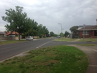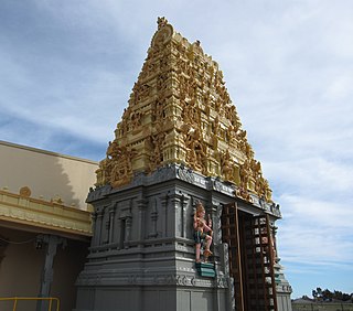
Melton is a suburb on the outskirts of Melbourne, Victoria. The suburb is located 47 kilometres (29 mi) west of Melbourne's Central Business District on the city's western rural-urban fringe. It is the administrative centre of the City of Melton local government area. As of the 2021 Australian census, the suburb has a population of 7,953.

Meadow Heights is a suburb in Melbourne, Victoria, Australia, 18 km (11 mi) north of Melbourne's Central Business District, located within the City of Hume local government area. Meadow Heights recorded a population of 14,890 at the 2021 census.

Hexham is a suburb of the city of Newcastle, about 15 km (9 mi) inland from the Newcastle CBD in New South Wales, Australia on the bank of the Hunter River.

Waratah is a north-western residential suburb of Newcastle, New South Wales, Australia, 6 kilometres (3.7 mi) from Newcastle's central business district and bounded to the north by the Main North railway line. Waratah station was opened in 1858 and is served by NSW TrainLink's Hunter line.

Para Hills is a residential suburb of Adelaide, South Australia. There is a light aircraft airport close to its boundary, and numerous sporting facilities, abundant parks and schools and two medium-sized shopping centres. Most of the suburb is in the City of Salisbury while some is in the City of Tea Tree Gully.

Canning Vale is a southern suburb of Perth, 22 km (13.7 mi) from the central business district. Its local government areas are the City of Canning and the City of Gosnells.
Wynn Vale is an outer north-eastern suburb of Adelaide, South Australia and is located within the City of Tea Tree Gully local government area. It is adjacent to Golden Grove, Modbury Heights, Surrey Downs, Salisbury East and Para Hills. It is located approximately 20 km north-east of the city of Adelaide.
High Wycombe is a suburb of Perth, Western Australia, within the City of Kalamunda. High Wycombe lies east of the Perth CBD at the base of the Darling Scarp. Formerly part of Maida Vale, the suburb was officially declared on 2 June 1978; its name, which was first used in 1958 by a subdivider, Western Agencies, refers to the town in Buckinghamshire where one of the partners in the firm was born.
Wallsend is an electoral district of the Legislative Assembly in the Australian state of New South Wales. It has only ever been represented by a member of the Labor Party and is currently represented by Sonia Hornery.
Birmingham Gardens is a suburb of Newcastle, New South Wales, Australia, bordering the University of Newcastle 11 kilometres (7 mi) west-northwest of Newcastle's central business district. It is part of the City of Newcastle local government area.

The City of Newcastle is a local government area in the Hunter region of New South Wales, Australia. The City of Newcastle incorporates much of the area of the Newcastle metropolitan area.

Wallsend is a western suburb of Newcastle, New South Wales, Australia, 11 kilometres (6.8 mi) from Newcastle's central business district. It is split between the local government areas of City of Newcastle and City of Lake Macquarie.
Killingworth is a small town located south of West Wallsend, New South Wales and east of the Sydney-Newcastle Freeway. It is part of the West Ward of the City of Lake Macquarie local government area in Greater Newcastle.
West Wallsend is a suburb and small town in the City of Lake Macquarie, Greater Newcastle in New South Wales, Australia. It is near the Sydney-Newcastle Freeway and the western suburbs of Newcastle.
Adamstown Heights is a southern suburb of Newcastle, New South Wales, Australia, located 8 kilometres (5 mi) west-southwest of Newcastle's central business district along the Pacific Highway. It is split between the City of Lake Macquarie and City of Newcastle local government areas. On 6 September 1991 Adamstown heights officially become a suburb of Newcastle.

Newcastle bus routes connect suburbs in and around Newcastle and Lake Macquarie, about 100 kilometres north of Sydney.

Seahampton is a hamlet situated north of West Wallsend, New South Wales, Australia, located 21 kilometres (13 mi) west of the city of Newcastle's central business district and west of the Sydney-Newcastle Freeway. It is a suburb of the City of Lake Macquarie local government area.
Cameron Park is a suburb of the City of Lake Macquarie local government area, Greater Newcastle in New South Wales, Australia, located 16 kilometres (10 mi) west of Newcastle's central business district near West Wallsend and the Sydney-Newcastle Freeway.
Andrews Farm is a northern suburb of Adelaide, South Australia. It is located in the City of Playford.


