Pierre is the capital city of the U.S. state of South Dakota and the seat of Hughes County. The population was 14,091 at the 2020 census, making it the 2nd least populous US state capital after Montpelier, Vermont. It is South Dakota's 9th most populous city. Founded in 1880, it was selected as the state capital when the territory was admitted as a state. Pierre is the principal city of the Pierre Micropolitan Statistical Area, which includes all of Hughes and Stanley counties.

Buffalo County is a county in the U.S. state of South Dakota. As of the 2020 census, the population was 1,948. Its county seat is Gann Valley which, at 10 people, is the least populous county seat in the United States. The county was created in 1864, and was organized in 1871 as part of the Dakota Territory.
Brewster is a village in, and the county seat of, Blaine County, Nebraska, United States. The population was 17 at the 2010 census.

Carrington is a city in Foster County, North Dakota, United States. It is the county seat of Foster County. A part of Carrington Township and Wyard Township The population was 2,080 at the 2020 census. Carrington was founded in 1883.
Almont is a city in Morton County, North Dakota, United States. It is part of the "Bismarck, ND Metropolitan Statistical Area" or "Bismarck–Mandan". The population was 100 at the 2020 census. Almont was founded in 1906, incorporated in 1936, and reached a peak population of 232 in 1940. The Northern Pacific Railroad tracks were removed in 1947 when the mainline was rerouted, and the city has since withered to just above 100 residents.

Stanley is a city in Mountrail County, North Dakota, United States. It is the county seat of Mountrail County. The population was 2,321 at the 2020 census, making it the 22th largest city in North Dakota. Stanley was founded in 1902. The town's economy is heavily connected to the nearby oil-rich Bakken Formation.

Center is a city in Oliver County, North Dakota, United States. It is the county seat of, and the only incorporated place in, Oliver County. The population was 588 at the 2020 census.
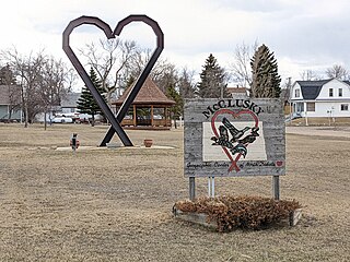
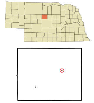
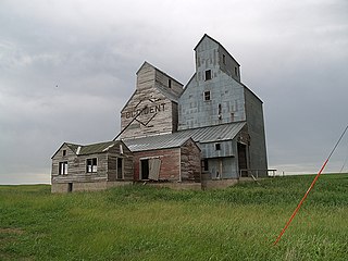
McClusky is a city in Sheridan County, North Dakota, United States. It is the county seat of Sheridan County. The population was 322 at the 2020 census. McClusky was founded in 1905. It is the closest town to the geographical center of North Dakota, which lies approximately five miles to the southwest.

Amidon is a city in, and the county seat of Slope County, North Dakota, United States.

Cando is a city in Towner County, North Dakota, United States. It is the county seat of Towner County. The population was 1,117 at the 2020 census. Cando was founded in 1884.

Fessenden is a town in, and the county seat of, Wells County, North Dakota, United States. It was founded in 1893 and is home of the Wells County Fair. The population was 462 at the 2020 census.
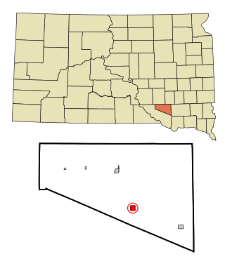
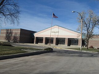
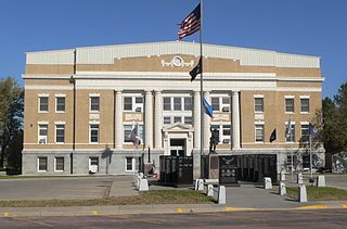
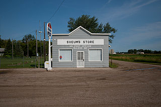
Armour is a city in county seat of Douglas County, South Dakota, United States. The population was 698 at the 2020 census.
Buffalo is a town in, and the county seat of, Harding County, South Dakota, United States. The population was 346 at the 2020 census.

Canton is a city in and the county seat of Lincoln County, South Dakota, United States. Canton is located 20 minutes south of Sioux Falls in southeastern South Dakota. Canton is nestled in the rolling hills of the Sioux Valley, providing an abundance of recreational activities with the Big Sioux River bordering the eastern side, Newton Hills State Park to the south, and Lake Alvin to the north. The city was named by Norwegian settler and former legislator James M. Wahl. The population was 3,066 as of the 2020 census.

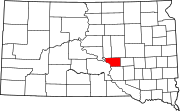
Gettysburg is a city and county seat of Potter County, South Dakota, United States, along the 45th parallel. The population was 1,104 at the 2020 census.
Winner is a city in central Tripp County, South Dakota, United States. The population was 2,921 at the 2020 census. It is the county seat of Tripp County. Winner also serves as the administrative center of neighboring Todd County, which does not have its own county seat. The nearest airport is Winner Regional Airport.

Manning is a small town in, and the county seat of, Dunn County, North Dakota, United States. Manning was founded in 1908 to serve as the seat of Dunn County, itself organized that year. Its population was not reported in the 2000 census, but was included in the 2020 census, where a population of 47 was given.

South Dakota is a state located in the north-central United States. It is usually considered to be in the Midwestern region of the country. The state can generally be divided into three geographic regions: eastern South Dakota, western South Dakota, and the Black Hills. Eastern South Dakota is lower in elevation and higher in precipitation than the western part of the state, and the Black Hills are a low, isolated mountain group in the southwestern corner of the state. Smaller sub-regions in the state include the Coteau des Prairies, Missouri Coteau, James River Valley, and the Dissected Till Plains. Geologic formations in South Dakota range in age from two billion-year-old Precambrian granite in the Black Hills to glacial till deposited over the last few million years. South Dakota is the 17th-largest state in the country.
McLeod is a census designated place in eastern Ransom County, North Dakota, United States. An unincorporated community, it was designated as part of the U.S. Census Bureau's Participant Statistical Areas Program on March 31, 2010. It was not counted separately during the 2000 Census, but was included in the 2010 Census, where its population was reported to be 27.

Menoken is an unincorporated community and a census-designated place (CDP) in southwestern Burleigh County, North Dakota, United States. It was designated as part of the U.S. Census Bureau's Participant Statistical Areas Program on June 10, 2010. It was not counted separately during the 2000 Census, but was included in the 2010 Census, where a population of 70 was reported.