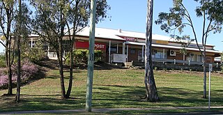
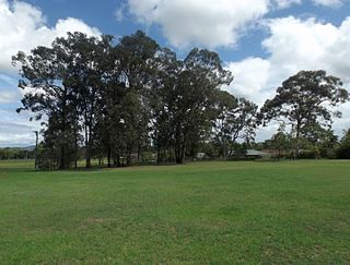
Jimboomba is a town and locality in the City of Logan, Queensland, Australia. In the 2021 census, the locality of Jimboomba had a population of 7,423 people.

Bald Hills is the northernmost suburb in the City of Brisbane, Queensland, Australia. In the 2021 census, Bald Hills had a population of 7,000 people.

Acacia Ridge is a southern suburb in the City of Brisbane, Queensland, Australia. In the 2021 census, Acacia Ridge had a population of 7,486 people.

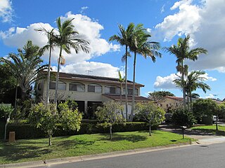
Algester is a southern suburb in the City of Brisbane, Queensland, Australia. In the 2021 census, Algester had a population of 9,020 people.

Alderley is a northern suburb in the City of Brisbane, Queensland, Australia. In the 2021 census, Alderley had a population of 6,748 people.

Sunnybank Hills is an outer southern suburb in the City of Brisbane, Queensland, Australia. In the 2021 census, Sunnybank Hills had a population of 18,085 people.

Highgate Hill is a riverside inner southern suburb of the City of Brisbane, Queensland, Australia. In the 2021 census, Highgate Hill had a population of 6,229 people.

Kuraby is an outer southern suburb in the City of Brisbane, Queensland, Australia. In the 2021 census, Kuraby had a population of 8,737 people.
Greenslopes is a southern suburb in the City of Brisbane, Queensland, Australia. It is 6.0 kilometres (3.7 mi) by road south of the Brisbane CBD. In the 2021 census, Greenslopes had a population of 7,941 people.

Browns Plains is a suburb in the City of Logan, Queensland, Australia. In the 2021 census, Browns Plains had a population of 6,632 people.
Heritage Park is a suburb in the City of Logan, Queensland, Australia. In the 2021 census, Heritage Park had a population of 4,930 people.
Marsden is a suburb in the City of Logan, Queensland, Australia. In the 2021 census, Marsden had a population of 14,795 people.

Meadowbrook is a mixed-use suburb in the City of Logan, Queensland, Australia. The Logan Hospital and a TAFE college are located in the suburb. In the 2021 census, Meadowbrook had a population of 3,069 people.

Regents Park is a suburb in the City of Logan, Queensland, Australia. In the 2021 census, Regents Park had a population of 11,103 people.
Eagleby is a suburb in the City of Logan, Queensland, Australia. In the 2021 census, Eagleby had a population of 13,594 people.

Archerfield is a mixed-use southern suburb in the City of Brisbane, Queensland, Australia. In the 2021 census, Archerfield had a population of 533 people.

Coopers Plains is a southern suburb in the City of Brisbane, Queensland, Australia. In the 2021 census, Coopers Plains had a population of 5,675 people.

Munruben is a rural locality in the City of Logan, Queensland, Australia. Once a rural community, it has been developed into a low density residential community. In the 2021 census, Munruben had a population of 2,753 people.
Mount Warren Park is a residential suburb in the outer eastern area of the City of Logan, Queensland, Australia. The mountain of Mount Warren is within the suburb.

Tamborine is a rural town in the Scenic Rim Region and a locality split between the Scenic Rim Region and the City of Logan in Queensland, Australia. In the 2021 census, the locality of Tamborine had a population of 4,388 people.


