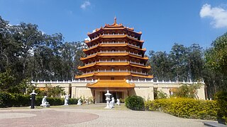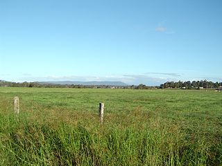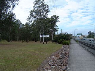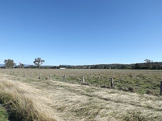
Cornubia is a suburb in the City of Logan, Queensland, Australia. In the 2016 census, Cornubia had a population of 7,317 people.

Woodridge is a town and suburb in the City of Logan, Queensland, Australia. In the 2016 census, the suburb of Woodridge had a population of 12,579 people.

Priestdale is a suburb in the City of Logan, Queensland, Australia. In the 2016 census, Priestdale had a population of 136 people.

Shailer Park is a suburb in the City of Logan, Queensland, Australia. In the 2016 census, Shailer Park had a population of 11,759 people.

Drewvale is an outer suburb of the City of Brisbane, Queensland, Australia. In the 2016 census, Drewvale had a population of 4,476 people.

Slacks Creek is a suburb in the City of Logan, Queensland, Australia. In the 2016 census, Slacks Creek had a population of 10,432 people.

Munruben is a locality in Logan City, Queensland, Australia. Once a rural community, it has been developed into a low density residential community. At the 2016 Australian Census the suburb recorded a population of 2,871.

Bahrs Scrub is an urban locality in the City of Logan, Queensland, Australia. In the 2016 census, Bahrs Scrub had a population of 1,919 people.

Stockleigh is a locality in the City of Logan, Queensland, Australia. In the 2016 census, Stockleigh had a population of 765 people.

Cedar Creek is a locality split between Logan City and City of Gold Coast in Queensland, Australia. As at the 2011 Census, Cedar Creek had a population of 832. It is located about 41 kilometres (25 mi) south-southeast of Brisbane, Queensland's capital city.

Chambers Flat is a rural locality in the City of Logan, Queensland, Australia. In the 2016 census, Chambers Flat had a population of 2,331 people.

Holmview is a residential suburb in the City of Logan, Queensland, Australia. In the 2016 census, Holmview had a population of 2,358 people.

New Beith is a rural-residential locality in Logan City in Queensland, Australia.

South Maclean is a locality in the City of Logan, Queensland, Australia.

Kagaru is a rural locality split between Scenic Rim Region and City of Logan, Queensland, Australia. In the 2016 census, Kagaru had a population of 13.

Tabooba is a rural locality in the Scenic Rim Region, Queensland, Australia. In the 2016 census, Tabooba had a population of 72 people.

Kairabah is a rural locality in the City of Logan, Queensland, Australia. In the 2016 census Kairabah had a population of 0 people.

Coulson is a rural locality in the Scenic Rim Region, Queensland, Australia. In the 2016 census, Coulson had a population of 195 people.

Cattle Creek is a rural locality in the Toowoomba Region, Queensland, Australia. In the 2016 census Cattle Creek had a population of 19 people.

Dunmore is a rural locality in the Toowoomba Region, Queensland, Australia. In the 2016 census, Dunmore had a population of 26 people.


