Jimboomba is a town and locality in the City of Logan, Queensland, Australia. In the 2021 census, the locality of Jimboomba had a population of 7,423 people.
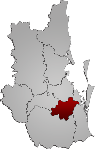
The City of Logan is a local government area (LGA) located in the south of Greater Brisbane in South East Queensland (SEQ), Australia. Situated between the City of Brisbane to the north and the City of Gold Coast to the south, the City of Logan also borders the Scenic Rim Region, the City of Ipswich, and Redland City LGAs. Logan is divided into 70 suburbs and 12 divisions; a councillor is elected to each of the latter. The council had a population of 326,615 as of June 2018.

Oxley is a south-western suburb in the City of Brisbane, Queensland, Australia. In the 2021 census, Oxley had a population of 9,100 people.

Goodna is a suburb on the eastern edge of the City of Ipswich in Queensland, Australia. In the 2021 census, Goodna had a population of 10,391 people.

Corinda is a suburb in the City of Brisbane, Queensland, Australia. In the 2021 census, Corinda had a population of 5,555 people.

Wacol is a suburb in the City of Brisbane, Queensland, Australia. In the 2021 census, Wacol had a population of 4,253 people.

Graceville is a suburb in the City of Brisbane, Queensland, Australia. In the 2021 census, Graceville had a population of 4,764 people.

Forestdale is a suburb of Logan City, Queensland, Australia. In the 2021 census, Forestdale had a population of 2,560 people.

Sherwood is a suburb in the City of Brisbane, Queensland, Australia. In the 2021 census, Sherwood had a population of 6,082 people.

Durack is an outer south-western suburb in the City of Brisbane, Queensland, Australia. In the 2021 census, Durack had a population of 7,788 people.

Richlands is an outer south-western suburb in the City of Brisbane, Queensland, Australia. In the 2021 census, Richlands had a population of 5,621 people.

Gailes is a suburb of Ipswich in the City of Ipswich, Queensland, Australia. In the 2021 census, Gailes had a population of 1,831 people.

Park Ridge South is a residential locality in the City of Logan, Queensland, Australia. In the 2021 census, Park Ridge South had a population of 1,680 people.

New Beith is a rural residential locality in the City of Logan, Queensland, Australia. In the 2021 census, New Beith had a population of 5,642 people.

North Maclean is a locality in the City of Logan, Queensland, Australia. In the 2021 census, North Maclean had a population of 1,581 people.

Allenview is a rural locality in the Scenic Rim Region, Queensland, Australia. In the 2021 census, Allenview had a population of 209 people.

Coulson is a rural locality in the Scenic Rim Region, Queensland, Australia. In the 2021 census, Coulson had a population of 168 people.

Allandale is a rural locality in the Scenic Rim Region, Queensland, Australia. In the 2021 census, Allandale had a population of 69 people.

Carneys Creek is a rural locality in the Scenic Rim Region, Queensland, Australia. It borders New South Wales. In the 2021 census, Carneys Creek had a population of 71 people.
Croftby is a rural locality in the Scenic Rim Region, Queensland, Australia. The town of Teviot is within the locality. In the 2021 census, Croftby had a population of 129 people.