Wilson County is a county located in the U.S. state of North Carolina. As of the 2020 census, the population was 78,784. The county seat is Wilson. The county comprises the Wilson, NC Micropolitan Statistical Area, which is also included within the Rocky Mount-Wilson-Roanoke Rapids, NC Combined Statistical Area.

Nash County is a county located in the U.S. state of North Carolina. As of the 2020 census, the population was 94,970. Its county seat is Nashville.

Johnston County is a county located in the U.S. state of North Carolina. As of the 2020 census, the population was 215,999. Its county seat is Smithfield.

Elk Park is a town in Avery County, North Carolina, United States. The town was so named because of the number of elk killed there. The population was 452 at the 2010 census.
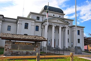
Newland is a town in Avery County, North Carolina, United States. The population was 698 at the 2010 census. It is the county seat of Avery County. It is the highest, by elevation, county seat east of the Mississippi River.

Eastover is a town in Cumberland County, North Carolina, United States. The population was 3,656 at the 2020 census. It was incorporated on July 25, 2007.

Spring Lake is a town in Cumberland County, North Carolina, United States. The 2010 census recorded the population at 11,964 people, with an estimated population in 2019 of 12,005.
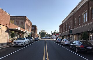
Weldon is a town in Halifax County, North Carolina, United States. The population was 1,655 at the 2010 census. It is part of the Roanoke Rapids, North Carolina Micropolitan Statistical Area.

Benson is a town in Johnston County, North Carolina, United States, near the intersection of Interstates 95 and 40. Benson celebrates Mule Days on the fourth Saturday of September, a festival that attracts over 60,000 people each year. In 2010, the population was 3,311, up from 2,923 in 2000.
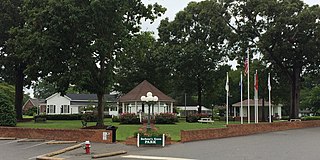
Four Oaks is a town in Johnston County, North Carolina, United States. As of the 2010 census it had a population of 1,921, up from 1,424 in 2000.

Micro is a town in Johnston County, North Carolina, United States. The population was 458 as of the 2020 census, up from 441 in the 2010 census.

Pine Level, chartered 1872, is a town in Johnston County, North Carolina, United States. The population was 1,700 at the 2010 census, up from 1,313 in 2000. Pine Level is located 35 miles (56 km) southeast of Raleigh, the state capital.

Selma is a town in Johnston County, North Carolina, United States. In 2010, the population was 6,073, and as of 2018 the estimated population was 6,913. Selma is part of the Raleigh-Durham-Cary Combined Statistical Area. The area has a population over 1.7 million residents, though the town of Selma is able to maintain its rural character. The Everitt P. Stevens House, located in Selma, was the site of the last Grand Review of the Confederate Army held on April 6, 1865, after its defeat at the Battle of Bentonville.

Smithfield is a town in and the county seat of Johnston County, North Carolina, United States. As of the 2010 census, its population was 10,966, and in 2019 the estimated population was 12,985. Smithfield is home to the Ava Gardner Museum and is situated along the Neuse River, where visitors enjoy the annual Smithfield Ham and Yam Festival, walks along the Buffalo Creek Greenway, and the historic downtown district. The town is located near North Carolina's Research Triangle and is about 30 miles (48 km) southeast of downtown Raleigh. The Raleigh-Durham-Cary combined statistical area has a population over 2 million residents.
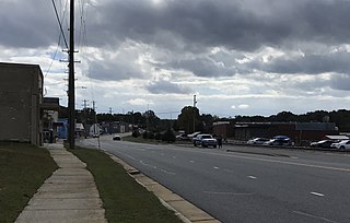
Biscoe is a town in Montgomery County, North Carolina, United States. The population was 1,700 at the 2010 census. The town is named after Henry Biscoe, an important customer of the local lumber business.
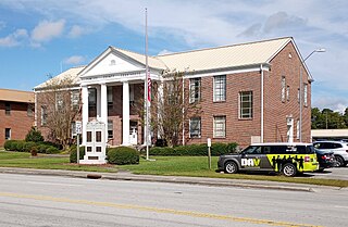
Bayboro is a town in Pamlico County, North Carolina, United States. The population was 1,161 at the 2020 U.S. census. It is the county seat of Pamlico County.
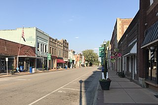
Fremont is a town in Wayne County, North Carolina, United States. The population was 1,255 at the 2010 census. It is included in the Goldsboro, North Carolina Metropolitan Statistical Area.
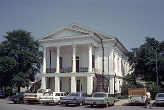
Barnwell is a city in and county seat of Barnwell County, South Carolina, United States, located along U.S. Route 278. The population was 4,750 at the 2010 census.

Latta is a town in Dillon County, South Carolina, United States. Latta is the second most populous town in Dillon County. As of the 2010 census, it had a population of 1,379.

Johnston is a town in Edgefield County, South Carolina, United States. The population was 2,362 at the 2010 census. It is part of the Augusta, Georgia, metropolitan area. The town's official welcome sign states that it is "Peach Capital of the World".


