List
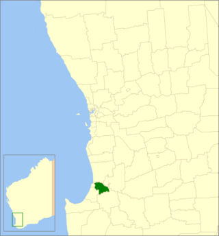
The Western Australian State Register of Heritage Places, as of 2021 [update] , lists the following four state registered places within the Shire of Dardanup:
| Place name | Place # | Street number | Street name | Suburb or town | Co-ordinates | Notes & former names | Photo |
|---|---|---|---|---|---|---|---|
| St Mary's Anglican Church, Dardanup | 689 | 23 | Picton-Boyanup Road | Dardanup | 33°24′03″S115°45′14″E / 33.400731°S 115.753784°E |  | |
| Thomas Little Memorial Hall | 3011 | Ferguson Road | Dardanup | 33°23′52″S115°45′17″E / 33.397818°S 115.754658°E | Church of the Immaculate Conception (former), Convent School, Our Lady of Lourdes School |  | |
| Dardanup State School (former) | 4628 | Ferguson Road | Dardanup | 33°23′54″S115°45′18″E / 33.398445°S 115.755013°E | Don Hewison Centre |  | |
| Wellington Dam | 6344 | 333 | Wellington Forest Road | Wellington Forest | 33°24′08″S115°58′45″E / 33.402222°S 115.979167°E | Also referred to as Wellington Weir and Hydro-electric StationListed in InHerit under the Shire of Collie but located partially in both the Shire of Collie and the Shire of Dardanup |  |