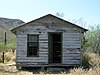
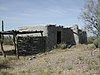
This is a list of the National Register of Historic Places listings in Organ Pipe Cactus National Monument.
This is intended to be a complete list of the properties and districts on the National Register of Historic Places in Organ Pipe Cactus National Monument, Arizona, United States. The locations of National Register properties and districts for which the latitude and longitude coordinates are included below, may be seen in a Google map. [1]
There are eight properties and districts listed on the National Register in the park.
This National Park Service list is complete through NPS recent listings posted December 16, 2022. [2]

This is a list of the National Register of Historic Places listings in Coconino County, Arizona.

This is a list of the National Register of Historic Places listings in Delaware County, Ohio.

This is a list of the National Register of Historic Places listings in Ashtabula County, Ohio.
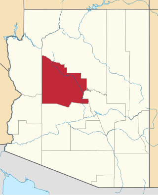
This is a list of the National Register of Historic Places listings in Yavapai County, Arizona. It is intended to be a complete list of the properties and districts on the National Register of Historic Places in Yavapai County, Arizona, United States. The locations of National Register properties and districts for which the latitude and longitude coordinates are included below, may be seen in a map.

This is a list of the National Register of Historic Places listings in Pinal County, Arizona.

This is a list of the National Register of Historic Places listings in La Paz County, Arizona.

This is a list of the National Register of Historic Places listings in Greenlee County, Arizona.

This is a list of the National Register of Historic Places listings in Apache County, Arizona. It is intended to be a complete list of the properties and districts on the National Register of Historic Places in Apache County, Arizona, United States. The locations of National Register properties and districts for which the latitude and longitude coordinates are included below, may be seen in a map.

This is a list of the National Register of Historic Places listings in Graham County, Arizona. It is intended to be a complete list of the properties and districts on the National Register of Historic Places in Graham County, Arizona, United States. The locations of National Register properties and districts for which the latitude and longitude coordinates are included below, may be seen in a map.

This is intended to be a complete list of the properties and districts on the National Register of Historic Places in Santa Cruz County, Arizona, United States. The locations of National Register properties and districts for which the latitude and longitude coordinates are included below, may be seen in a map.

This is a list of the National Register of Historic Places listings in Yuma County, Arizona. It is intended to be a complete list of the properties and districts on the National Register of Historic Places in Yuma County, Arizona, United States. The locations of National Register properties and districts for which the latitude and longitude coordinates are included below, may be seen in a map.

This is a list of the National Register of Historic Places listings in Cochise County, Arizona. It is intended to be a complete list of the properties and districts on the National Register of Historic Places in Cochise County, Arizona, United States. The locations of National Register properties and districts for which the latitude and longitude coordinates are included below, may be seen in a map.

This is a list of the National Register of Historic Places listings in Mohave County, Arizona. It is intended to be a complete list of the properties and districts on the National Register of Historic Places in Mohave County, Arizona, United States. The locations of National Register properties and districts for which the latitude and longitude coordinates are included below, may be seen in a map.

This is a list of the National Register of Historic Places listings in Navajo County, Arizona. It is intended to be a complete list of the properties and districts on the National Register of Historic Places in Navajo County, Arizona, United States. The locations of National Register properties and districts for which the latitude and longitude coordinates are included below, may be seen in a map.

This is a list of the National Register of Historic Places listings in Appomattox County, Virginia.

This is a list of the National Register of Historic Places listings in Prescott, Arizona. It is intended to be a complete list of the properties and districts on the National Register of Historic Places in Prescott, Arizona, United States. The locations of National Register properties and districts for which the latitude and longitude coordinates are included below, may be seen in an online map.
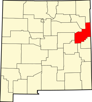
This is a list of the National Register of Historic Places listings in Quay County, New Mexico.
This is a list of the National Register of Historic Places listings in Grand Canyon National Park.
This is a list of the National Register of Historic Places listings in Colorado National Monument.
This is a list of the National Register of Historic Places listings in Devils Tower National Monument.
| Topics | |
|---|---|
| Lists by state |
|
| Lists by insular areas | |
| Lists by associated state | |
| Other areas | |
| Related | |