
The Eastport Peninsula is a small extension of land into the central part of Bonavista Bay in the Canadian province of Newfoundland and Labrador. The peninsula is adjacent to Terra Nova National Park and contains seven small communities: Eastport, Happy Adventure, Sandy Cove, Salvage, St. Chad's, Burnside and Sandringham.

Eastport is a long-popular Newfoundland vacation destination on the Eastport Peninsula. Eastport is located on the north-eastern border of Terra Nova National Park and is known for its sandy beaches, scenery and traditional Newfoundland outport heritage.
Bonavista Bay (BB) is a large bay located on the northeast coast of the island of Newfoundland in the province of Newfoundland and Labrador in Canada. It opens directly onto the Atlantic Ocean.
Route 1 is a highway in the Canada province of Newfoundland and Labrador, and is the easternmost stretch of the Trans-Canada Highway. Route 1 is the primary east–west road on the island of Newfoundland.

Route 340, also known as Road to the Isles, is a road in the Canadian province of Newfoundland and Labrador passing through the towns of Lewisporte, Summerford and Twillingate, all in The Isles of Notre Dame region of the province.
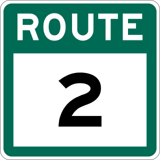
Route 2, also known as Pitts Memorial Drive and Peacekeeper's Way, is a 34.2-kilometre-long (21.3 mi) freeway on the Avalon Peninsula of Newfoundland in the Canadian province of Newfoundland and Labrador. The road provides a direct link from the Trans-Canada Highway (TCH) to downtown St. John's, Newfoundland, which was previously accessible only via city streets such as Topsail Road or Kenmount Road. Initially called the Harbour Arterial, construction began in the early 1970s and was completed in 1979. The $52-million project was funded by the federal and provincial governments. It was renamed by the city council in 1984 after local businessman James Stewart Pitt (1847-1914).
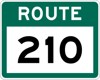
Route 210, also known as the Burin Peninsula Highway and Heritage Run, is a highway that extends through the Burin Peninsula from Goobies to Grand Bank, Newfoundland and Labrador. The maximum speed limit is 90 km/h except through communities and settlements where the speed limit is reduced to 50 km/h. Just after exiting Swift Current, until a few kilometres north of Marystown, much of the landscape is barren, with very few trees prevalent. After entering Marystown, motorists approach a junction where they could turn right to continue their journey on Route 210 until arriving at Grand Bank, or going straight onto Route 220 towards Burin and St. Lawrence. Marystown is the most populous community along the route.

Route 430 is a 413-kilometre-long (257 mi) paved highway that traverses the Great Northern Peninsula of Newfoundland in the Canadian province of Newfoundland and Labrador. The route begins at the intersection of Route 1 in Deer Lake and ends in St. Anthony. Officially known as the Great Northern Peninsula Highway, it has been designated as the Viking Trail since it is the main auto route to L'Anse aux Meadows, the only proven Viking era settlement in North America. It is the primary travel route in the Great Northern Peninsula and the only improved highway between Deer Lake and St. Anthony. It is the main access route to the Labrador Ferry terminal in St. Barbe.

Route 480, also known as Burgeo Highway or The Burgeo Road, is a 150-kilometre-long (93 mi) north-south on southwestern Newfoundland in the Canadian province of Newfoundland and Labrador. It connects the town of Burgeo with the Trans-Canada Highway. The highway is a winding two-lane highway traveling through remote, hilly, and wooded terrain for its entire length. There are no other communities of any kind along the highway, with the only other intersections being abandoned logging roads. Route 480 also provides access to Sandbanks Provincial Park and ferries to the remote outports of Ramea, Grey River and Francois at its southern terminus. There are also several vacation/hunting camps along Route 480, including Peter Strides.

Salvage is a town located on the Eastport Peninsula of the Canadian province of Newfoundland and Labrador. The town had a population of 108 in the Canada 2021 Census.

St. Brendan's is a town in the Canadian province of Newfoundland and Labrador, situated in Shoal Cove on Cottel Island in Bonavista Bay. Other settlements on the island include Shalloway Cove, Haywards Cove, and Dock Cove. The town had a population of 125 in the Canada 2021 Census. St. Brendan's is inaccessible by road and is served by a daily ferry service from Burnside.

Route 232 is a provincial highway in the province of Newfoundland and Labrador with the western terminus at George's Brook, where it intersects with Route 230A. The eastern terminus is at the community of Burgoyne's Cove, where the road reaches a cul-de-sac. It roughly follows the north shore of Smith Sound for the entire route.

Route 470, also known as La Poile Highway, is a highway on the West Coast of the Canadian province of Newfoundland and Labrador. It is the last provincial highway off Route 1 before approaching the Marine Atlantic Ferry to Nova Scotia, in Channel-Port aux Basques. The route is 42.8 kilometres (26.6 mi) in length. During much of the journey, there is plenty of barren land on both sides of the road, until arriving at its final community, Rose Blanche. Route 470 also carries the designation of Granite Coast Scenic Drive.
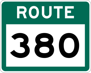
Route 380 is a highway in Newfoundland and Labrador. There are five communities along the route, beginning with South Brook at the Trans-Canada Highway, and ending at the community of Brighton. The route travels through three islands, including Pilley's Island and Brighton Tickle Island. Triton is the most populous community along the route.

Route 420, also known as White Bay South Highway, is a 67.7-kilometre-long (42.1 mi) north-south highway located in the western region of Newfoundland in the Canadian province of Newfoundland and Labrador. It starts at its southern terminus at an intersection on the Trans-Canada Highway, near Sandy Lake, and ends at its northern terminus, the town of Jackson's Arm, passing through several other communities in between.
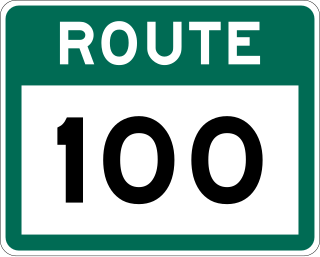
Route 100 is a major highway in Newfoundland and Labrador. The highway begins at its northern terminus at the Trans-Canada Highway in the town of Whitbourne, runs for 108 kilometres (67 mi) until it ends at its southern terminus, the town of Branch, where it transitions into Route 92. Motorists can drive along the coast of Placentia Bay once traveling south of Point Verde.
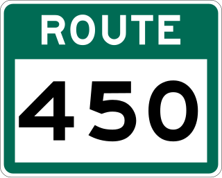
Route 450 is a highway in the Canadian province of Newfoundland and Labrador. The highway starts at an interchange at Route 1 in Corner Brook. When approaching O'Connell Drive, motorists can turn left to continue their journey along the route. The route terminates at a cul-de-sac in Lark Harbour.
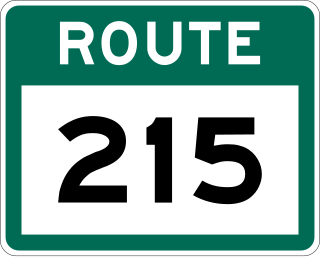
Route 215, also known as Petit Forte Road, is a 26.6-kilometre-long (16.5 mi) east–west highway on the Burin Peninsula of the island of Newfoundland in the province of Newfoundland and Labrador. It connects the towns of Boat Harbour, Brookside, and Petit Forte with Route 210.
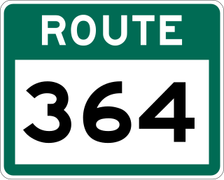
Route 364, also known as Hermitage River Road, is a 37.4-kilometre-long (23.2 mi) north–south highway on the Connaigre Peninsula of the island of Newfoundland. It connects the towns of Seal Cove and Hermitage-Sandyville with Route 360.
Burnside-St. Chads is a local service district and designated place on the Eastport Peninsula in the Canadian province of Newfoundland and Labrador. A port is located in Burnside through which the MV Grace Sparkes services the isolated island outport of St. Brendan's. Burnside-St. Chads community had a population of 79 in the 2021 census.

