Route 1 is a highway in the Canada province of Newfoundland and Labrador, and is the easternmost stretch of the Trans-Canada Highway. Route 1 is the primary east–west road on the island of Newfoundland.

Route 238, also known as Elliston Road, is a 12.2-kilometre-long (7.6 mi) north-south highway on the northeastern corner of the Bonavista Peninsula on the island of Newfoundland. It is one of very few highways in Newfoundland and Labrador that both begin and end at the same highway, this one being Route 230.

The East Coast Trail (ECT) is a long-distance coastal footpath located in the Canadian province of Newfoundland and Labrador. It is a developed trail over 336 kilometres (209 mi) long, the creation of which began in 1994. It is made up of 25 linked wilderness paths and passes through more than 30 communities. It was named one of the best adventure destinations by National Geographic in 2012 and is extended and improved yearly.
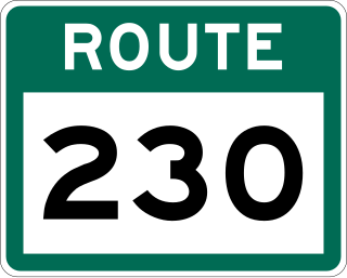
Route 230 is the main Bonavista Peninsula Highway, commencing from Route 1 at Thorburn Lake, about 10-15 kilometres north of Clarenville and proceeding all the way to Bonavista at the end of the Peninsula. The highway also carries the designation of Discovery Trail.
The Bonavista Peninsula is a large peninsula on the east coast of the island of Newfoundland in the Canadian province of Newfoundland and Labrador. It consists of 50 incorporated towns/unincorporated communities which have a population of 12,176 as of the 2016 Canadian Census. Bonavista is the largest population centre on the peninsula.

Route 330 Beaton Tulk Highway, also known as Road to the Shore or more commonly Gander Bay Road, is a highway that extends from Gander, Newfoundland across "the loop" passing through towns such as Gander Bay South, Carmanville, Musgrave Harbour, and Lumsden to New-Wes-Valley. Here, the highway connects with Route 320, which continues "the loop" down the west shore of Bonavista Bay exiting back to the Trans-Canada Highway in Gambo.
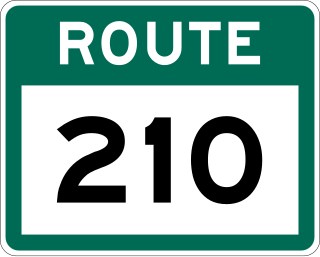
Route 210, also known as the Burin Peninsula Highway and Heritage Run, is a highway that extends through the Burin Peninsula from Goobies to Grand Bank, Newfoundland and Labrador. The maximum speed limit is 90 km/h except through communities and settlements where the speed limit is reduced to 50 km/h. Just after exiting Swift Current, until a few kilometres north of Marystown, much of the landscape is barren, with very few trees prevalent. After entering Marystown, motorists approach a junction where they could turn right to continue their journey on Route 210 until arriving at Grand Bank, or going straight onto Route 220 towards Burin and St. Lawrence. Marystown is the most populous community along the route.
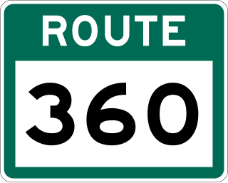
Route 360, also known as Bay d'Espoir Highway, is a provincial highway in Newfoundland and Labrador. It runs from the Bishop's Falls area to Bay d'Espoir and Harbour Breton. The road is very isolated for at least 140 kilometres (87 mi), where there are no communities or stops to refuel. Bishop's Falls and Harbour Breton are the only two settlements of any size along the entire length of Route 360, with other towns and communities being along the other highways it intersects.

Route 430 is a 413-kilometre-long (257 mi) paved highway that traverses the Great Northern Peninsula of Newfoundland in the Canadian province of Newfoundland and Labrador. The route begins at the intersection of Route 1 in Deer Lake and ends in St. Anthony. Officially known as the Great Northern Peninsula Highway, it has been designated as the Viking Trail since it is the main auto route to L'Anse aux Meadows, the only proven Viking era settlement in North America. It is the primary travel route in the Great Northern Peninsula and the only improved highway between Deer Lake and St. Anthony. It is the main access route to the Labrador Ferry terminal in St. Barbe.

Route 463, also known as Lourdes Road, is a rural highway in Newfoundland and Labrador that leads from Route 460 at Abraham's Cove to Cape St. George. It is situated entirely on the northern shore of the Port au Port Peninsula in Western Newfoundland and has an approximate length of 51.7 kilometres (32.1 mi). Along with Route 460, Route 463 also carries the designation of the French Ancestors Route.

Route 232 is a provincial highway in the province of Newfoundland and Labrador with the western terminus at George's Brook, where it intersects with Route 230A. The eastern terminus is at the community of Burgoyne's Cove, where the road reaches a cul-de-sac. It roughly follows the north shore of Smith Sound for the entire route.
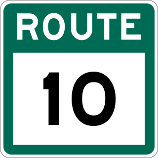
Route 10, also known as the eastern portion of the Irish Loop Drive and the Southern Shore Highway, is a 173-kilometre (107 mi) uncontrolled-access highway in Newfoundland and Labrador. Its southern terminus is at Route 90 in St. Vincent's-St. Stephen's-Peter's River, and its northern terminus is at Route 2 and The Parkway in St. John's. The route is in Division No. 1 and winds along the southern and eastern coasts of Avalon Peninsula on the island of Newfoundland.

Route 470, also known as La Poile Highway, is a highway on the West Coast of the Canadian province of Newfoundland and Labrador. It is the last provincial highway off Route 1 before approaching the Marine Atlantic Ferry to Nova Scotia, in Channel-Port aux Basques. The route is 42.8 kilometres (26.6 mi) in length. During much of the journey, there is plenty of barren land on both sides of the road, until arriving at its final community, Rose Blanche. Route 470 also carries the designation of Granite Coast Scenic Drive.
Route 239 is a highway in the Trinity Bight portion of Newfoundland in the Canadian province of Newfoundland and Labrador. It is a short route, running from a junction at Route 230, starting at the community of Lockston and ending at the community of New Bonaventure.
Route 100 is a major highway in Newfoundland and Labrador. The highway begins at its northern terminus at the Trans-Canada Highway in the town of Whitbourne, runs for 108 kilometres (67 mi) until it ends at its southern terminus, the town of Branch, where it transitions into Route 92. Motorists can drive along the coast of Placentia Bay once traveling south of Point Verde.

Route 220 is the southern portion of the Heritage Run in the Canadian province of Newfoundland and Labrador, running along the southern and western coastlines of the Burin Peninsula of Newfoundland. It is a loop road, running due south from the town of Marystown and continues until the town of Grand Bank where it transitions into Route 210 - and vice versa. The speed limit along much of Route 220 is 80 km/h, except in communities where the speed limit is reduced to 50 km/h.

Route 221, also known as Burin Road, is a 15.9-kilometre-long (9.9 mi) east–west highway on the Burin Peninsula of the island of Newfoundland in the province of Newfoundland and Labrador. It connects Fox Cove-Mortier with Port au Bras, Burin, and Route 220.
Route 230A, also known as Old Bonavista Highway, is a 16.2-kilometre-long (10.1 mi) alternate route of Route 230 at the southwestern corner of the Bonavista Peninsula on the island of Newfoundland. It represents the former route of Route 230 through Clarenville, Milton, and George's Brook.

Route 233, also known as Clode Sound Road, is a 32.1-kilometre-long (19.9 mi) east–west highway on the island of Newfoundland in the province of Newfoundland and Labrador. It connects the communities along the southern shores of Clode Sound and Goose Bay with Route 1 and Route 230.
Route 352, also known as Fortune Harbour Road, is a 53.1-kilometre-long (33.0 mi) north-south highway on the northern coast of Newfoundland in the Canadian province of Newfoundland and Labrador. It connects the town of Northern Arm, at an intersection with Route 350, with the community of Fortune Bay, along with several other communities in between.
