
U.S. Route 211 is a spur of US 11 in the U.S. state of Virginia. Known for most of its length as Lee Highway, the U.S. Highway runs 59.09 miles (95.10 km) from Interstate 81 (I-81) and Virginia State Route 211 in New Market east to US 15 Business, US 29 Business, and US 211 Business in Warrenton. US 211 connects the Shenandoah Valley with the Piedmont town of Warrenton via Luray and Sperryville, where the highway runs concurrently with US 340 and US 522, respectively.

West Virginia Route 51 is a state highway that runs west to east from Berkeley County to Jefferson County in West Virginia's Eastern Panhandle. The western terminus is at WV 45 northwest of Gerrardstown. The eastern terminus is at an interchange with U.S. Route 340 and WV 9 east of downtown Charles Town. US 340 continues to the east on the same roadway as WV 51.

Summerford is a small town on the central coast of Newfoundland in Canada. It is located just off Route 340, along Route 344. The Town of Summerford lies mostly on New World Island in Notre Dame Bay just off the coast of the island of Newfoundland. Strong's Island, which is connected to New World Island by Island Drive, is also a part of the town. Summerford had a population of 805 in 2021, down from 906 in the Canada 2016 Census. It is close to the neighbouring communities of Virgin Arm-Carter's Cove and Cottlesville.
Route 1 is a highway in the Canada province of Newfoundland and Labrador, and is the easternmost stretch of the Trans-Canada Highway. Route 1 is the primary east–west road on the island of Newfoundland.
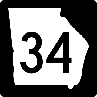
State Route 34 (SR 34) is a 43.6-mile-long (70.2 km) state highway that travels west-to-east through portions of Heard and Coweta counties in the west-central part of the U.S. state of Georgia. The highway connects the Alabama state line southwest of Franklin with the Peachtree City area, via Franklin and Newnan.

New York State Route 344 (NY 344) is a state highway located in Columbia County, New York, in the United States. The route is 1.90 miles (3.06 km) in length and serves primarily as an access road to the Bash Bish Falls state parks on both sides of the New York–Massachusetts border. The western terminus of NY 344 is at NY 22 in Copake Falls. Its eastern terminus is at the Massachusetts state line, where it continues into Bash Bish Falls State Park as Falls Road, a locally maintained highway. NY 344 was assigned c. 1932 and extended to its current length by 1953 after NY 22 was rerouted to bypass Copake Falls.
New York State Route 340 (NY 340) is a 3.10-mile (4.99 km) state highway in southeastern Rockland County, New York, in the United States. Though it is signed as an east–west route, it actually follows a north–south alignment. The southern terminus of the route is at the New Jersey state line in Palisades, where it becomes County Route 501 (CR 501). The northern terminus is at an intersection with NY 303 in Orangeburg; however, according to the New York State Department of Transportation (NYSDOT), the route continued for another 0.07 miles (0.11 km) to the northwest of NY 303 until by 2017. NY 340 was assigned to part of its modern routing in the early 1930s and extended to its current length in the early 1940s.

State Route 360 is a primary state highway in the U.S. state of Virginia. The state highway runs 41.77 miles (67.22 km) from U.S. Route 360, US 58 Business, and SR 293 in Danville east to US 360 and SR 344 near Scottsburg. SR 360 is the old alignment of US 360 through Danville, eastern Pittsylvania County, and Halifax County, including the latter's county seat of Halifax, before the U.S. Highway was moved to its present course mostly concurrent with US 58 via South Boston.
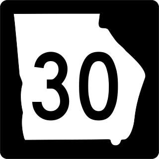
State Route 30 (SR 30) is a 229.8-mile-long (369.8 km) state highway that travels west-to-east through portions of Marion, Sumter, Crisp, Wilcox, Dodge, Telfair, Wheeler, Montgomery, Toombs, Tattnall, Evans, Bryan, Effingham, and Chatham counties in the south-central part of the U.S. state of Georgia. The highway connects the southern part of Marion County with Port Wentworth, via Americus, Cordele, Abbeville, McRae, Vidalia, Reidsville, Claxton, and Pembroke. The highway is concurrent with U.S. Route 280 (US 280) for about four-fifths of its length, from Americus to Blitchton, which is the easternmost 183.9 miles (296.0 km) of US 280's length.
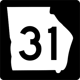
State Route 31 (SR 31) is a 166.9-mile-long (268.6 km) state highway that travels south-to-north through portions of Lowndes, Lanier, Clinch, Atkinson, Coffee, Telfair, Wheeler, Dodge, Laurens, and Johnson counties in the south-central part of the U.S. state of Georgia. The highway connects the Florida state line, south of Clyattville with Wrightsville, via Valdosta, Douglas, and Dublin.
State Route 32 (SR 32) is a 188.8-mile-long (303.8 km) state highway that travels west-to-east through portions of Terrell, Lee, Worth, Turner, Irwin, Coffee, Bacon, Pierce, Brantley, and Glynn counties in the southern part of the U.S. state of Georgia. The highway connects Dawson with Sterling, via Leesburg, Ashburn, Fitzgerald, Douglas, and Alma.

Pennsylvania Route 340 (PA 340) is a 30-mile-long (48 km) state highway located in Lancaster and Chester counties in Pennsylvania. The western terminus is at PA 462 in Lancaster. The eastern terminus is at U.S. Route 30 Business in Thorndale. The route is a two-lane road passing through rural areas, heading through the Pennsylvania Dutch Country in eastern Lancaster County that is home to several Amish families and rural areas in western Chester County, serving the communities of Bird-in-Hand, Intercourse, White Horse, Compass, and Wagontown. PA 340 intersects US 30 near Lancaster, PA 772 in Intercourse, PA 897 in White Horse, PA 10 in Compass, PA 82 in Wagontown, and US 30 again near Thorndale.

Route 340, also known as Road to the Isles, is a road in the Canadian province of Newfoundland and Labrador passing through the towns of Lewisporte, Summerford and Twillingate, all in The Isles of Notre Dame region of the province.
Cottlesville is a rural community just outside Summerford on New World Island, Newfoundland and Labrador.
Farm to Market Road 344 is a 18.126-mile (29.171 km) farm to market road located in Smith County, Texas.
Route 232 is a provincial highway in the province of Newfoundland and Labrador with the western terminus at George's Brook, where it intersects with Route 230A. The eastern terminus is at the community of Burgoyne's Cove, where the road reaches a cul-de-sac. It roughly follows the north shore of Smith Sound for the entire route.
Route 402, also known as Gallants Road, is a minor highway in the Canadian province of Newfoundland and Labrador. The highway is located about 40 kilometres (25 mi) southwest of the city of Corner Brook, approximately 30 minutes by car. The route's eastern terminus is Route 1, and its western terminus at the community of Gallants, located 9 kilometres (5.6 mi) from Route 1. Although no directional signage on Route 1 before the intersection in either direction depict Route 402, but according to some provincial government road maps, Route 402 is the official name of the highway.
Route 370, also known as the Buchans Highway, is a 73-kilometre-long (45 mi) east-west highway in the central portion of Newfoundland in the Canadian province of Newfoundland and Labrador. Its eastern terminus is the intersection at the Trans-Canada Highway in the Town of Badger, and the route ends at the Town of Buchans.
Route 414, also known as La Scie Highway, is a highway located on the Baie Verte Peninsula of Newfoundland in the Canadian province of Newfoundland and Labrador. Its western terminus is the intersection at Route 410, about 7 kilometres south of Baie Verte, and its eastern terminus is the Town of La Scie.
