
The Trans Canada Trail, officially named The Great Trail between September 2016 and June 2021, is a cross-Canada system of greenways, waterways, and roadways that stretches from the Atlantic to the Pacific to the Arctic oceans. The trail extends over 24,000 km (15,000 mi); it is now the longest recreational, multi-use trail network in the world. The idea for the trail began in 1992, shortly after the Canada 125 celebrations. Since then it has been supported by donations from individuals, corporations, foundations, and all levels of government.

Trunk 2 is part of the Canadian province of Nova Scotia's system of Trunk Highways. The route runs from Halifax to Fort Lawrence on the New Brunswick border. Until the 1960s, Trunk 2 was the Halifax area's most important highway link to other provinces, and was part of a longer Interprovincial Highway 2 which ended in Windsor, Ontario. The controlled access Highway 102 and Highway 104 now carry most arterial traffic in the area, while Trunk 2 serves regional and local traffic.
Nova Central School District was a school district headquartered in Gander in the Canadian province of Newfoundland and Labrador. The district had 66 schools located in 50 different communities, and served about 13,000 students, including a significant rural population. The District was formed by the merger of the Lewisporte-Gander and Baie Verte-Central-Connaigre school boards in 2004. The largest school in the district was Gander Academy. The district was replaced by the Newfoundland and Labrador English School District upon provincial amalgamation in 2013.
Route 110 is 15.9-kilometre (9.9 mi) long highway in New Brunswick, Canada; running from the Canada–US border crossing at Bridgewater, Maine as a continuation of Boundary Line Road, a connector to U.S. Route 1 (US 1). The route crosses through Carleton County, crossing Route 2 in Centreville. The route runs along the Saint John River before reaching Florenceville-Bristol, where it terminates at an intersection with Route 130 on the riverbank.
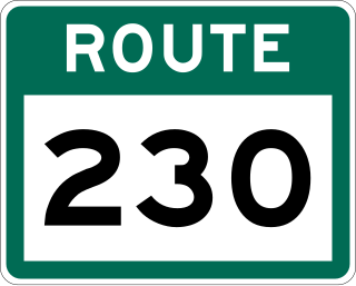
Route 230 is the main Bonavista Peninsula Highway, commencing from Route 1 at Thorburn Lake, about 10-15 kilometres north of Clarenville and proceeding all the way to Bonavista at the end of the Peninsula. The highway also carries the designation of Discovery Trail.

Route 340, also known as Road to the Isles, is a road in the Canadian province of Newfoundland and Labrador passing through the towns of Lewisporte, Summerford and Twillingate, all in The Isles of Notre Dame region of the province.

Route 330 Beaton Tulk Highway, also known as Road to the Shore or more commonly Gander Bay Road, is a highway that extends from Gander, Newfoundland across "the loop" passing through towns such as Gander Bay South, Carmanville, Musgrave Harbour, and Lumsden to New-Wes-Valley. Here, the highway connects with Route 320, which continues "the loop" down the west shore of Bonavista Bay exiting back to the Trans-Canada Highway in Gambo.
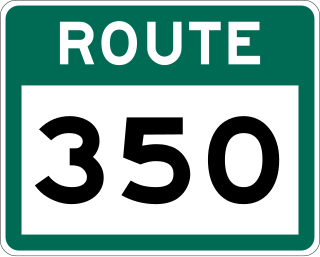
Route 350, commonly known as Botwood Highway, is a side highway in Central Newfoundland that leads from the Trans-Canada Highway in Bishop's Falls to Botwood, Point Leamington and Leading Tickles. It is 70.7 kilometres (43.9 mi) in length and contains several side roads to communities located off the route, such as Peterview, and Route 352 that leads to Point of Bay and the Cottrell's Cove-Fortune Harbour area. Route 350-17 branches off in Point Leamington and connects the small community of Pleasantview to the main route. Route 350 continues on from Point Leamington for another 25 km north to Leading Tickles where the road officially ends. Along the way there is another short road connecting Glovers Harbour to the main route as well.

Route 430 is a 413-kilometre-long (257 mi) paved highway that traverses the Great Northern Peninsula of Newfoundland in the Canadian province of Newfoundland and Labrador. The route begins at the intersection of Route 1 in Deer Lake and ends in St. Anthony. Officially known as the Great Northern Peninsula Highway, it has been designated as the Viking Trail since it is the main auto route to L'Anse aux Meadows, the only proven Viking era settlement in North America. It is the primary travel route in the Great Northern Peninsula and the only improved highway between Deer Lake and St. Anthony. It is the main access route to the Labrador Ferry terminal in St. Barbe.

Division No. 7, Newfoundland and Labrador is a census division in the Canadian province of Newfoundland and Labrador, primarily comprising the Bonavista Bay region. Like all census divisions in Newfoundland and Labrador, but unlike the census divisions of some other provinces, the division exists only as a statistical division for census data, and is not a political entity.
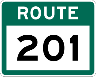
Route 201 is a provincial road in the Canadian province of Newfoundland and Labrador. It is one of only three loop roads designated with a route number that starts and ends at the Trans-Canada Highway. The road spans 28 kilometres (17 mi), and allows for a scenic journey along the southern coast of Trinity Bay. There are quite a number of summer cottages along the route, and highway is known for an abundance of ospreys during the summer months.
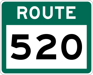
Route 520, also known as North West River Road, is a 45-kilometre-long (28 mi) north-south supplementary highway off of the Trans-Labrador Highway in Labrador, which connects Happy Valley-Goose Bay to North West River.

Route 205, also known as Hatchet Cove Road, is a relatively short east-west highway on the island of Newfoundland in the Canadian province of Newfoundland and Labrador. It connects the communities along the northern shore of the Southwest Arm of Trinity Bay with Route 1. It is the last provincial route heading west along the Trans-Canada Highway before approaching the Town of Clarenville.

Route 420, also known as White Bay South Highway, is a 67.7-kilometre-long (42.1 mi) north-south highway located in the western region of Newfoundland in the Canadian province of Newfoundland and Labrador. It starts at its southern terminus at an intersection on the Trans-Canada Highway, near Sandy Lake, and ends at its northern terminus, the town of Jackson's Arm, passing through several other communities in between.
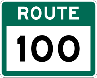
Route 100 is a major highway in Newfoundland and Labrador. The highway begins at its northern terminus at the Trans-Canada Highway in the town of Whitbourne, runs for 108 kilometres (67 mi) until it ends at its southern terminus, the town of Branch, where it transitions into Route 92. Motorists can drive along the coast of Placentia Bay once traveling south of Point Verde.
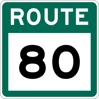
Route 80, also known as Trinity Road, is a 105-kilometre-long (65 mi) north–south highway along the Avalon Peninsula of Newfoundland. It connects the communities along the eastern side of Trinity Bay with the Trans Canada Highway (TCH).

Route 90, also known as Salmonier Line and St. Mary's Bay Highway, is an 88.0-kilometre-long (54.7 mi) north-south Highway on the Avalon Peninsula of Newfoundland. It connects the communities along the eastern side of St. Mary's Bay with the Trans Canada Highway and Holyrood. The entire length of Route 90 also forms the western half of Irish Loop Drive.
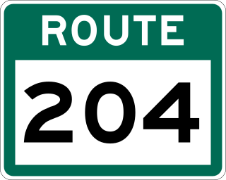
Route 204, also known as Southwest Arm Road, is a 30.5-kilometre-long (19.0 mi) east–west highway on the island of Newfoundland in the province of Newfoundland and Labrador. It connects the communities along the southern shore of the Southwest Arm of Trinity Bay with the Trans-Canada Highway at North West Brook. It is a very curvy two-lane highway traversing very hilly terrain for its entire length.

Route 331, also known as Boyd's Cove Highway, is a 27.4-kilometre-long (17.0 mi) east–west highway on the island of Newfoundland in the province of Newfoundland and Labrador. It connects the town of Boyd's Cove with the Gander Bay area of the island.
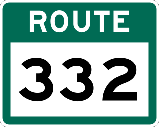
Route 332, also known as Frederickton Road, is a 23.8-kilometre-long (14.8 mi) east-west highway on the northern coast of the island of Newfoundland in the Canadian province of Newfoundland and Labrador. It serves as a loop route off of Route 330, connecting several communities along the coastline of Hamilton Sound with the highway. Route 332 is one of very few highways in the province that both begin and end on the same highway.
