Route 1 is a highway in the Canada province of Newfoundland and Labrador, and is the easternmost stretch of the Trans-Canada Highway. Route 1 is the primary east–west road on the island of Newfoundland.
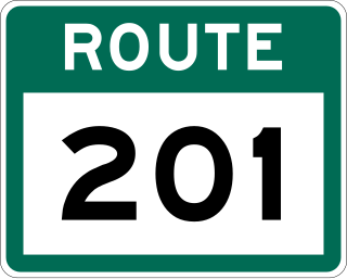
Route 201 is a provincial road in the Canadian province of Newfoundland and Labrador. It is one of only three loop roads designated with a route number that starts and ends at the Trans-Canada Highway. The road spans 28 kilometres (17 mi), and allows for a scenic journey along the southern coast of Trinity Bay. There are quite a number of summer cottages along the route, and highway is known for an abundance of ospreys during the summer months.

Route 390, also known as Springdale Road, is a highway in the central portion of Newfoundland in the Canadian province of Newfoundland and Labrador. It is a very short route, running for only 11.0 kilometres (6.8 mi), with its only community, Springdale, as its terminus. Its branch routes, Route 391 and Route 392, run for a much longer distance.
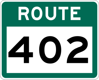
Route 402, also known as Gallants Road, is a minor highway in the Canadian province of Newfoundland and Labrador. The highway is located about 40 kilometres (25 mi) southwest of the city of Corner Brook, approximately 30 minutes by car. The route's eastern terminus is Route 1, and its western terminus at the community of Gallants, located 9 kilometres (5.6 mi) from Route 1. Although no directional signage on Route 1 before the intersection in either direction depict Route 402, but according to some provincial government road maps, Route 402 is the official name of the highway.
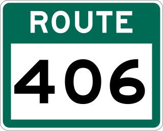
Route 406, also known as Codroy Road, is a highway on the western portion of Newfoundland in the Canadian province of Newfoundland and Labrador. It is a relatively short route, with its eastern terminus at Route 1 in the community of Doyles, and its western terminus at Cape Anguille. The route travels through the scenic Codroy Valley region.

Route 403 is a minor highway in the western region of Newfoundland in the Canadian province of Newfoundland and Labrador. The highway begins at a junction with the Trans-Canada Highway and continues to its northern terminus, the community of Journois.

Route 401, also known as Howley Road, is a 13-kilometre-long (8.1 mi) minor highway in the western region of Newfoundland in the Canadian province of Newfoundland and Labrador. The highway begins at a junction with the Trans-Canada Highway and continues to its southern terminus, the community of Howley. There are no other major intersections or communities along the entire length of Route 401. As with most highways in Newfoundland and Labrador, Route 401 is a two-lane highway in its entirety.
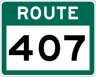
Route 407, also known as St. Andrew's-Searston Road, is a minor highway on the western portion of Newfoundland in the Canadian province of Newfoundland and Labrador. The route's southern terminus is the Trans-Canada Highway in the community of Tompkins, and its northern terminus is in the community of Millville, at an intersection with Route 406. Along with Route 406, Route 407 allows for an extensive view of the Codroy Valley.

Route 370, also known as the Buchans Highway, is a 73-kilometre-long (45 mi) east–west highway in the central portion of Newfoundland in the Canadian province of Newfoundland and Labrador. Its eastern terminus is the intersection at the Trans-Canada Highway in the Town of Badger, and the route ends at the Town of Buchans.
Route 414, also known as La Scie Highway, is a highway located on the Baie Verte Peninsula of Newfoundland in the Canadian province of Newfoundland and Labrador. Its western terminus is the intersection at Route 410, about 7 kilometres south of Baie Verte, and its eastern terminus is the Town of La Scie.

Route 92, also known as North Harbour-Branch Highway, is a 51.9-kilometre-long (32.2 mi) highway on the Avalon Peninsula of the Canadian province of Newfoundland and Labrador. Its northern terminus is an intersection at Route 91, near the town of Colinet, and its southern terminus is at the town of Branch, where the route transitions into Route 100.
Route 310, also known as Road to the Beaches, in Newfoundland and Labrador runs from its southern terminus at Glovertown, and ends at its northern terminus at the community of Salvage, all along the Eastport Peninsula of Newfoundland. A portion of this route runs through Terra Nova National Park. The route is noteworthy for its beautiful sandy beaches, particularly in the towns of Eastport and Sandy Cove. The speed limit ranges from 60–70 km/h except when traveling through a community in which the speed is reduced to 50 km/h.

Route 205, also known as Hatchet Cove Road, is a relatively short east-west highway on the island of Newfoundland in the Canadian province of Newfoundland and Labrador. It connects the communities along the northern shore of the Southwest Arm of Trinity Bay with Route 1. It is the last provincial route heading west along the Trans-Canada Highway before approaching the Town of Clarenville.
Route 380 is a highway in Newfoundland and Labrador. There are five communities along the route, beginning with South Brook at the Trans-Canada Highway, and ending at the community of Brighton. The route travels through three islands, including Pilley's Island and Brighton Tickle Island. Triton is the most populous community along the route.

Route 420, also known as White Bay South Highway, is a 67.7-kilometre-long (42.1 mi) north-south highway located in the western region of Newfoundland in the Canadian province of Newfoundland and Labrador. It starts at its southern terminus at an intersection on the Trans-Canada Highway, near Sandy Lake, and ends at its northern terminus, the town of Jackson's Arm, passing through several other communities in between.
Route 413 is a highway on the Baie Verte Peninsula of Newfoundland in the Canadian province of Newfoundland and Labrador. It is a short route, running from a junction at Route 410 and ending at its eastern terminus at Middle Arm.
Route 239 is a highway in the Trinity Bight portion of Newfoundland in the Canadian province of Newfoundland and Labrador. It is a short route, running from a junction at Route 230, starting at the community of Lockston and ending at the community of New Bonaventure.
Route 100 is a major highway in Newfoundland and Labrador. The highway begins at its northern terminus at the Trans-Canada Highway in the town of Whitbourne, runs for 108 kilometres (67 mi) until it ends at its southern terminus, the town of Branch, where it transitions into Route 92. Motorists can drive along the coast of Placentia Bay once traveling south of Point Verde.
Route 450 is a highway in the Canadian province of Newfoundland and Labrador. The highway starts at an interchange at Route 1 in Corner Brook. When approaching O'Connell Drive, motorists can turn left to continue their journey along the route. The route terminates at a cul-de-sac in Lark Harbour.

Route 440 is a relatively short highway in the Canadian province of Newfoundland and Labrador, on the West Coast. The highway was named in honor of Admiral Hugh Palliser. The highway starts at an interchange at Route 1 in Corner Brook, and terminates at Cox's Cove. The speed limit is 80 km/h except in communities where the speed is reduced to 50 km/h.
