
The Trans-Labrador Highway (TLH) is a highway located in the province of Newfoundland and Labrador, Canada. It is the primary public road in Labrador. Its total length is 1,149 km (714 mi). The complete paving of the highway was completed in July 2022.
Route 1 is a highway in the Canada province of Newfoundland and Labrador, and is the easternmost stretch of the Trans-Canada Highway. Route 1 is the primary east–west road on the island of Newfoundland.
Roaches Line is a local service district and designated place in the Canadian province of Newfoundland and Labrador. It is on the western side of Conception Bay and south of Bay Roberts.
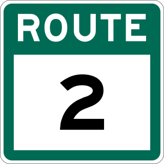
Route 2, also known as Pitts Memorial Drive and Peacekeeper's Way, is a 34.2-kilometre-long (21.3 mi) freeway on the Avalon Peninsula of Newfoundland in the Canadian province of Newfoundland and Labrador. The road provides a direct link from the Trans-Canada Highway (TCH) to downtown St. John's, Newfoundland, which was previously accessible only via city streets such as Topsail Road or Kenmount Road. Initially called the Harbour Arterial, construction began in the early 1970s and was completed in 1979. The $52-million project was funded by the federal and provincial governments. It was renamed by the city council in 1984 after local businessman James Stewart Pitt (1847-1914).

Route 330, also known as Road to the Shore or more commonly Gander Bay Road, is a highway that extends from Gander, Newfoundland across "the loop" passing through towns such as Gander Bay South, Carmanville, Musgrave Harbour, and Lumsden to New-Wes-Valley. Here, the highway connects with Route 320, which continues "the loop" down the west shore of Bonavista Bay exiting back to the Trans-Canada Highway in Gambo.
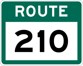
Route 210, also known as the Burin Peninsula Highway and Heritage Run, is a highway that extends through the Burin Peninsula from Goobies to Grand Bank, Newfoundland and Labrador. The maximum speed limit is 90 km/h except through communities and settlements where the speed limit is reduced to 50 km/h. Just after exiting Swift Current, until a few kilometres north of Marystown, much of the landscape is barren, with very few trees prevalent. After entering Marystown, motorists approach a junction where they could turn right to continue their journey on Route 210 until arriving at Grand Bank, or going straight onto Route 220 towards Burin and St. Lawrence. Marystown is the most populous community along the route.
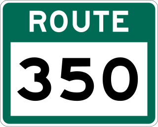
Route 350, commonly known as Botwood Highway, is a side highway in Central Newfoundland that leads from the Trans-Canada Highway in Bishop's Falls to Botwood, Point Leamington and Leading Tickles. It is 70.7 kilometres (43.9 mi) in length and contains several side roads to communities located off the route, such as Peterview, and Route 352 that leads to Point of Bay and the Cottrell's Cove-Fortune Harbour area. Route 350-17 branches off in Point Leamington and connects the small community of Pleasantview to the main route. Route 350 continues on from Point Leamington for another 25 km north to Leading Tickles where the road officially ends. Along the way there is another short road connecting Glovers Harbour to the main route as well.
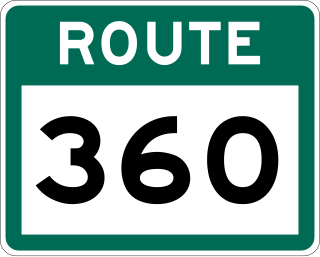
Route 360, also known as Bay d'Espoir Highway, is a provincial highway in Newfoundland and Labrador. It runs from the Bishop's Falls area to Bay d'Espoir and Harbour Breton. The road is very isolated for at least 140 kilometres (87 mi), where there are no communities or stops to refuel. Bishop's Falls and Harbour Breton are the only two settlements of any size along the entire length of Route 360, with other towns and communities being along the other highways it intersects.

Route 430 is a 413-kilometre-long (257 mi) paved highway that traverses the Great Northern Peninsula of Newfoundland in the Canadian province of Newfoundland and Labrador. The route begins at the intersection of Route 1 in Deer Lake and ends in St. Anthony. Officially known as the Great Northern Peninsula Highway, it has been designated as the Viking Trail since it is the main auto route to L'Anse aux Meadows, the only proven Viking era settlement in North America. It is the primary travel route in the Great Northern Peninsula and the only improved highway between Deer Lake and St. Anthony. It is the main access route to the Labrador Ferry terminal in St. Barbe.
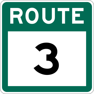
Route 3, also known as Goulds Bypass Road and Robert E. Howlett Memorial Drive, is a 9.4-kilometre (5.8 mi), two-lane, Partially-controlled access highway in the eastern part of the Avalon Peninsula of Newfoundland in the Canadian province of Newfoundland and Labrador. Its southern terminus is at Route 10 in Goulds and its northern terminus is at Route 2 in St. John's. The route is entirely in Division 1 and generally forms a straight line between its termini.
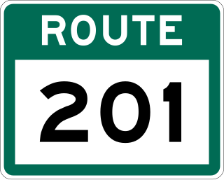
Route 201 is a provincial road in the Canadian province of Newfoundland and Labrador. It is one of only three loop roads designated with a route number that starts and ends at the Trans-Canada Highway. The road spans 28 kilometres (17 mi), and allows for a scenic journey along the southern coast of Trinity Bay. There are quite a number of summer cottages along the route, and highway is known for an abundance of ospreys during the summer months.

Route 470, also known as La Poile Highway, is a highway on the West Coast of the Canadian province of Newfoundland and Labrador. It is the last provincial highway off Route 1 before approaching the Marine Atlantic Ferry to Nova Scotia, in Channel-Port aux Basques. The route is 42.8 kilometres (26.6 mi) in length. During much of the journey, there is plenty of barren land on both sides of the road, until arriving at its final community, Rose Blanche. Route 470 also carries the designation of Granite Coast Scenic Drive.
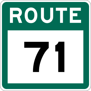
Route 71 is a highway in the Canadian province of Newfoundland and Labrador. It serves as a bypass road to Route 70 and Route 75. Upon exiting Route 1, it is a dirt road until just before the access to Route 75. There is an abundance of summer cottages along the route, and the route terminates at South River in Conception Bay on Route 70.
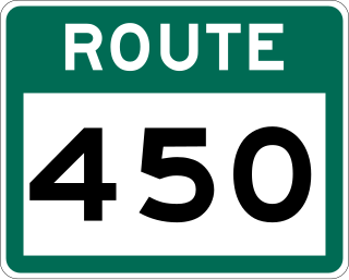
Route 450 is a highway in the Canadian province of Newfoundland and Labrador. The highway starts at an interchange at Route 1 in Corner Brook. When approaching O'Connell Drive, motorists can turn left to continue their journey along the route. The route terminates at a cul-de-sac in Lark Harbour.
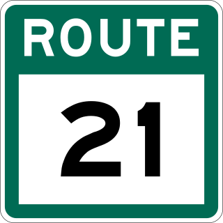
Route 21, also known as Bauline Line, is a 9.3-kilometre-long (5.8 mi) north-south highway on the Avalon Peninsula of Newfoundland in the Canadian province of Newfoundland and Labrador. It serves to connect the towns of Torbay and Bauline.

Route 70, also known as Roaches Line and Conception Bay Highway, is a 109-kilometre-long (68 mi) north-south highway on the Avalon Peninsula of Newfoundland. The highway also carries the designation of Baccalieu Trail for its entire length.

Route 73 is a 19.2-kilometre-long (11.9 mi) east–west highway on the Avalon Peninsula of Newfoundland. It connects the towns of New Harbour and Spaniard's Bay via Tilton and Route 70. The majority of Route 73 is known as New Harbour Road, except within the town limits of Spaniard's Bay, where it is known as Back Track Road.
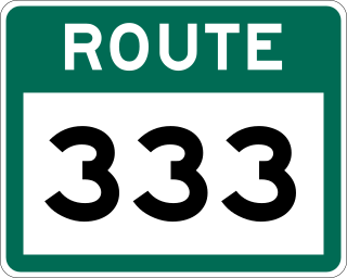
Route 333, also known as Fogo Island Road, is a 24.4-kilometre-long (15.2 mi) north–south highway on Fogo Island in the Canadian province of Newfoundland and Labrador. It is the primary highway on the island, connecting all of the island's communities with the MV Veteran ferry, which in turn connects them to mainland Newfoundland and the rest of Canada. The highway is one of only two 3-digit highways in the province that use the same number, the other being Route 222.

Route 3A, also known as Team Gushue Highway, is a currently 6.6-kilometre-long (4.1 mi) north-south freeway on the Avalon Peninsula of Newfoundland in the Canadian province of Newfoundland and Labrador. It straddles the line between the provinces two largest cities, the capital city of St. John's and the city Mount Pearl. It currently envisioned to run from the Outer Ring Road to the interchange between Pitts Memorial Drive and the Goulds Bypass, but currently only runs between Route 1 and Route 60. The highway also serves as an alternative to The Parkway.

