The Burin Peninsula is a peninsula located on the south coast of the island of Newfoundland in the province of Newfoundland and Labrador. Marystown is the largest population centre on the peninsula.

Burin is a town on the Burin Peninsula in Placentia Bay, Newfoundland and Labrador, Canada. The Burin Peninsula is often affectionately nicknamed "The Boot" due to its resemblance to the footwear when seen on a map, with the town of Burin located near the "heel". Burin is approximately 318 km from the capital of St. John's. Settlement in Burin dates to the early 18th century, although documentary evidence indicates that French fishermen had been fishing and exploring the area even earlier.

Route 330, also known as Road to the Shore or more commonly Gander Bay Road, is a highway that extends from Gander, Newfoundland across "the loop" passing through towns such as Gander Bay South, Carmanville, Musgrave Harbour, and Lumsden to New-Wes-Valley. Here, the highway connects with Route 320, which continues "the loop" down the west shore of Bonavista Bay exiting back to the Trans-Canada Highway in Gambo.
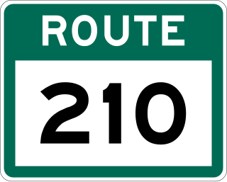
Route 210, also known as the Burin Peninsula Highway and Heritage Run, is a highway that extends through the Burin Peninsula from Goobies to Grand Bank, Newfoundland and Labrador. The maximum speed limit is 90 km/h except through communities and settlements where the speed limit is reduced to 50 km/h. Just after exiting Swift Current, until a few kilometres north of Marystown, much of the landscape is barren, with very few trees prevalent. After entering Marystown, motorists approach a junction where they could turn right to continue their journey on Route 210 until arriving at Grand Bank, or going straight onto Route 220 towards Burin and St. Lawrence. Marystown is the most populous community along the route.

Route 232 is a provincial highway in the province of Newfoundland and Labrador with the western terminus at George's Brook, where it intersects with Route 230A. The eastern terminus is at the community of Burgoyne's Cove, where the road reaches a cul-de-sac. It roughly follows the north shore of Smith Sound for the entire route.
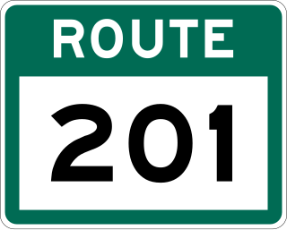
Route 201 is a provincial road in the Canadian province of Newfoundland and Labrador. It is one of only three loop roads designated with a route number that starts and ends at the Trans-Canada Highway. The road spans 28 kilometres (17 mi), and allows for a scenic journey along the southern coast of Trinity Bay. There are quite a number of summer cottages along the route, and highway is known for an abundance of ospreys during the summer months.

Route 213 is a highway on the Burin Peninsula of the island of Newfoundland in the Canadian province of Newfoundland and Labrador. It is one of a small number of provincial routes that start and end on the same highway. It is a very short route, running for about 12 kilometres. Due to being a rough road, the maximum speed limit is 60 km/h, except through communities where the speed limit is reduced to 30 km/h. The western side of the route allows for a drive along the shore of Fortune Bay, until reaching the community of Frenchman's Cove. Midway along the route is Frenchman's Cove Provincial Park, one of only a small number of provincial parks in existence since 1997. After exiting Frenchman's Cove, motorists travel along the Frenchman's Cove Barasway and enjoy more of a view of Fortune Bay until approaching the Town of Garnish.
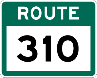
Route 310, also known as Road to the Beaches, in Newfoundland and Labrador runs from its southern terminus at Glovertown, and ends at its northern terminus at the community of Salvage, all along the Eastport Peninsula of Newfoundland. A portion of this route runs through Terra Nova National Park. The route is noteworthy for its beautiful sandy beaches, particularly in the towns of Eastport and Sandy Cove. The speed limit ranges from 60–70 km/h except when traveling through a community in which the speed is reduced to 50 km/h.
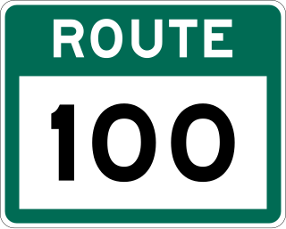
Route 100 is a major highway in Newfoundland and Labrador. The highway begins at its northern terminus at the Trans-Canada Highway in the town of Whitbourne, runs for 108 kilometres (67 mi) until it ends at its southern terminus, the town of Branch, where it transitions into Route 92. Motorists can drive along the coast of Placentia Bay once traveling south of Point Verde.

Route 440 is a relatively short highway in the Canadian province of Newfoundland and Labrador, on the West Coast. The highway was named in honor of Admiral Hugh Palliser. The highway starts at an interchange at Route 1 in Corner Brook, and terminates at Cox's Cove. The speed limit is 80 km/h except in communities where the speed is reduced to 50 km/h.

Route 11 is a 18.3-kilometre-long (11.4 mi) north-south highway located on the Avalon Peninsula of the island of Newfoundland in the Canadian province of Newfoundland and Labrador. It connects the town of Petty Harbour-Maddox Cove with Goulds and St. John's
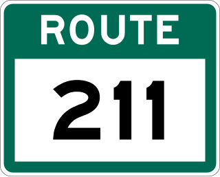
Route 211, also known as English Harbour East Road, is a 32.9-kilometre-long (20.4 mi) east–west highway on the Burin Peninsula of the island of Newfoundland in the province of Newfoundland and Labrador. It connects the communities of English Harbour East, Grand le Pierre, and Terrenceville with Route 210.

Route 212, also known as Bay L’Argent Road, is a 30.2-kilometre-long (18.8 mi) north–south highway on the Burin Peninsula of the island of Newfoundland in the Canadian province of Newfoundland and Labrador. It connects several communities along the northeastern corner of Fortune Bay with Route 210.

Route 214, also known as Monkstown Road, is a 28.6-kilometre-long (17.8 mi) north–south highway on the Burin Peninsula of the island of Newfoundland in the province of Newfoundland and Labrador. It connects the communities of Monkstown and Davis Cove with Route 210. The road is unpaved.
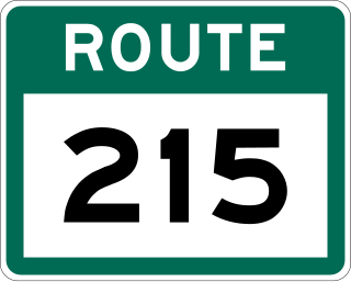
Route 215, also known as Petit Forte Road, is a 26.6-kilometre-long (16.5 mi) east–west highway on the Burin Peninsula of the island of Newfoundland in the province of Newfoundland and Labrador. It connects the towns of Boat Harbour, Brookside, and Petit Forte with Route 210.
Route 220A, also known as Creston Boulevard, is a short 5.3-kilometre-long (3.3 mi) north–south highway located entirely in the town of Marystown on the island of Newfoundland. It connects the Creston neighbourhood of town with the downtown area. Route 220A also represents the former alignment of Route 220 prior to its realignment onto the Creston Causeway.

Route 221, also known as Burin Road, is a 15.9-kilometre-long (9.9 mi) east–west highway on the Burin Peninsula of the island of Newfoundland in the province of Newfoundland and Labrador. It connects Fox Cove-Mortier with Port au Bras, Burin, and Route 220.
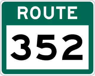
Route 352, also known as Fortune Harbour Road, is a 53.1-kilometre-long (33.0 mi) north-south highway on the northern coast of Newfoundland in the Canadian province of Newfoundland and Labrador. It connects the town of Northern Arm, at an intersection with Route 350, with the community of Fortune Bay, along with several other communities in between.
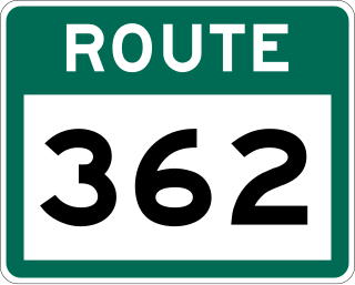
Route 362, also known as Belleoram Road, is a 35.5-kilometre-long (22.1 mi) north-south highway on the Connaigre Peninsula of the island of Newfoundland. It connects the communities along the western side of Fortune Bay with Route 360. Cell phone reception along Route 362 is severely limited.

Route 421, also known as Hampden Road, is a 15.7-kilometre-long (9.8 mi) north-south highway on northwestern Newfoundland in the Canadian province of Newfoundland and Labrador. It connects the town of Hampden, along with some other communities, with Route 420.

