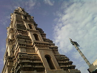
Swamimalai is a panchayat town that is a suburb near Kumbakonam in Thanjavur District in the Indian state of Tamil Nadu. It lies on the banks of river Kaveri and is one of the six abodes of the Lord Muruga.
Also see Ratannagar, Churu

Memari is a town and a municipality in Purba Bardhaman district in the Indian state of West Bengal.
Darlawn is a census town in Aizawl district in the state of Mizoram, India.
Edaicode is a panchayat town in Kanniyakumari district in the state of Tamil Nadu, India.
Hatod is a town and a nagar panchayat in Indore district in the Indian state of Madhya Pradesh.
Konnur is a municipal council in the Belagavi District of Karnataka, India. It is located at 16.2°N 74.75°E and has an average elevation of 606 metres (1988 feet).
Makardah is a census town in Domjur CD Block of Howrah Sadar subdivision in Howrah district in the Indian state of West Bengal. It is a part of Kolkata Urban Agglomeration.

Mudigere is a Town Panchayath and Taluk in Chikkamagaluru district in the Indian state of Karnataka. It is 30 km from the district headquarters.
Red Hills is a town in Thiruvallur district in the Indian state of Tamil Nadu.
Salumbar is a statutory town in Udaipur district in the Indian state of Rajasthan.

Sankrail is a census town in Sankrail CD Block of Howrah Sadar subdivision in Howrah district in the Indian state of West Bengal. It is a part of Kolkata Urban Agglomeration.
Seondha is a town and a Nagar Panchayat in Datia district in the Indian state of Madhya Pradesh. A large Datia era fortress, is located along the banks of the River Sindh. City is well known for its spirituality. Seondha Municipality President "ASHA GOVIND SINGH NAGIL. it is very near to Ratangarh mandir situated only 15 km away from it. It is believed that Four Kumaras namely Sanak, Sanandan,Sanatan and Sanatkumar are still meditating in their Child awatar. It is full of Natural Resources and very famous for its waterfall.
Usehat is a town and a nagar panchayat in Badaun district in the Indian state of Uttar Pradesh. It is a town in usawan block.
Vadakkuvalliyur is a panchayat town in Tirunelveli district in the Indian state of Tamil Nadu.
Vedasanthoor is a panchayat town in Dindigul district Located at Indian state of Tamil Nadu. Vedasanthoor town is 21 km (13 mi) from Dindigul city, 25 km (16 mi) from Oddanchatram town, and 82 km (51 mi) from Madurai.
Pali is a census town in Raigad District in the Indian state of Maharashtra.

Bikkavolu is a village in East Godavari district in the state of Andhra Pradesh in India. The village is known for its famous Subrahmanya Swamy Temple.
Shirahatti is a panchayat town in Gadag district in the Indian state of Karnataka.
Agaram is a panchayat town in Dindigul district, Tamil Nadu, India.


