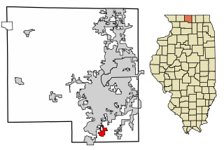
New Milford is a village in Winnebago County, Illinois, United States on the south bank of the Kishwaukee River overlooking the south side of Rockford. It is part of the Rockford, Illinois Metropolitan Statistical Area. The population was 697 at the 2010 census, up from 541 in 2000.
Worthington is a town in Jefferson Township, Greene County, Indiana, United States. The population was 1,463 at the 2010 United States Census. It is part of the Bloomington, Indiana, Metropolitan Statistical Area.
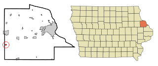
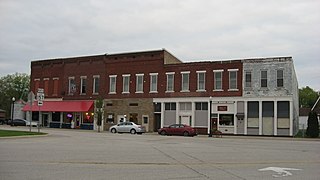
Worthington is a city in Dubuque County, Iowa, United States. The population was 382 at the time of the 2020 census, up from 381 in 2000. Iowa Highway 136 passes through Worthington, which is situated north of Cascade and south of Dyersville.

City of Worthington Hills is a home rule-class city in Jefferson County, Kentucky, United States. The population was 1,446 at the 2010 census, down from 1,594 at the 2000 census.

Lyons is a village in Ionia County in the U.S. state of Michigan. The population was 789 at the 2010 census. Most of the village is within Lyons Township. A small portion extends west into Ionia Township.

Rushmore is a town in Nobles County, Minnesota, United States. The population was 342 at the 2010 census.

Worthington is a village in southeast Putnam County, Missouri, United States. The population was 47 at the 2020 census.

Pasadena Park is a village in St. Louis County, Missouri, United States. The population was 470 at the 2010 census. It is part of the Normandy School District, and is distinct from the city of Pasadena Hills.

Baldwin Park is a village in Cass County, Missouri, United States. The population was 92 at the 2010 census. It is part of the Kansas City metropolitan area.
Williamsburg is a village in Clermont County, Ohio, United States. The population was 2,570 at the 2020 census.

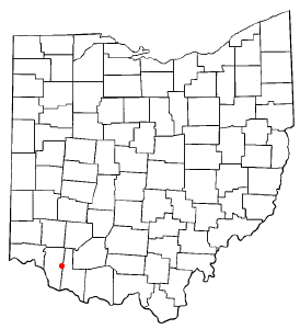
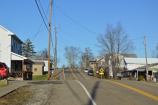
New Weston is a village in Darke County, Ohio, United States. The population was 124 at the 2020 census.

Woodlawn is a village in Hamilton County, Ohio, United States. The population was 3,916 at the 2020 census.

Hebron is a village in Licking County, Ohio, United States. The population was 2,326 at the 2020 census.

Syracuse is a village in Meigs County, Ohio, United States, along the Ohio River. The population was 781 at the 2020 census.
Graysville is a village in Monroe County, Ohio, United States. The population was 70 at the 2020 census.

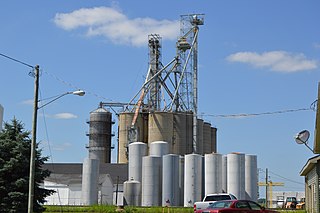
Melrose is a village in Paulding County, Ohio, United States. The population was 233 at the 2020 census.
Elgin is a village in Van Wert County, Ohio, United States. The population was 49 at the 2020 census. It is included within the Van Wert, Ohio Micropolitan Statistical Area.

Worthington is a town in Marion County, West Virginia, United States. The population was 158 at the 2010 census. Worthington was incorporated in 1893 and named for Colonel George Worthington, an early settler. U.S. Route 19 passes through the town.
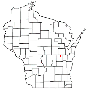
Clayton is a town in Winnebago County, Wisconsin, United States. The population was 3,951 at the 2010 census. The unincorporated communities of Larsen, Medina Junction, and Mikesville are located within the town.

Aniwa is a village in Shawano County, Wisconsin, United States. The population was 260 at the 2010 census. The village is located within the Town of Aniwa. U.S. Route 45 runs north–south through the village.