Route 446 (Israel–Palestine)

Last updated
ISR-HW-446.svg
Route 446
כביש 446
Route information
Length31 km (19 mi)
Major junctions
South end
  • Shilat Junction
North end
  • Baruchin Interchange
Location
Major cities
Highway system

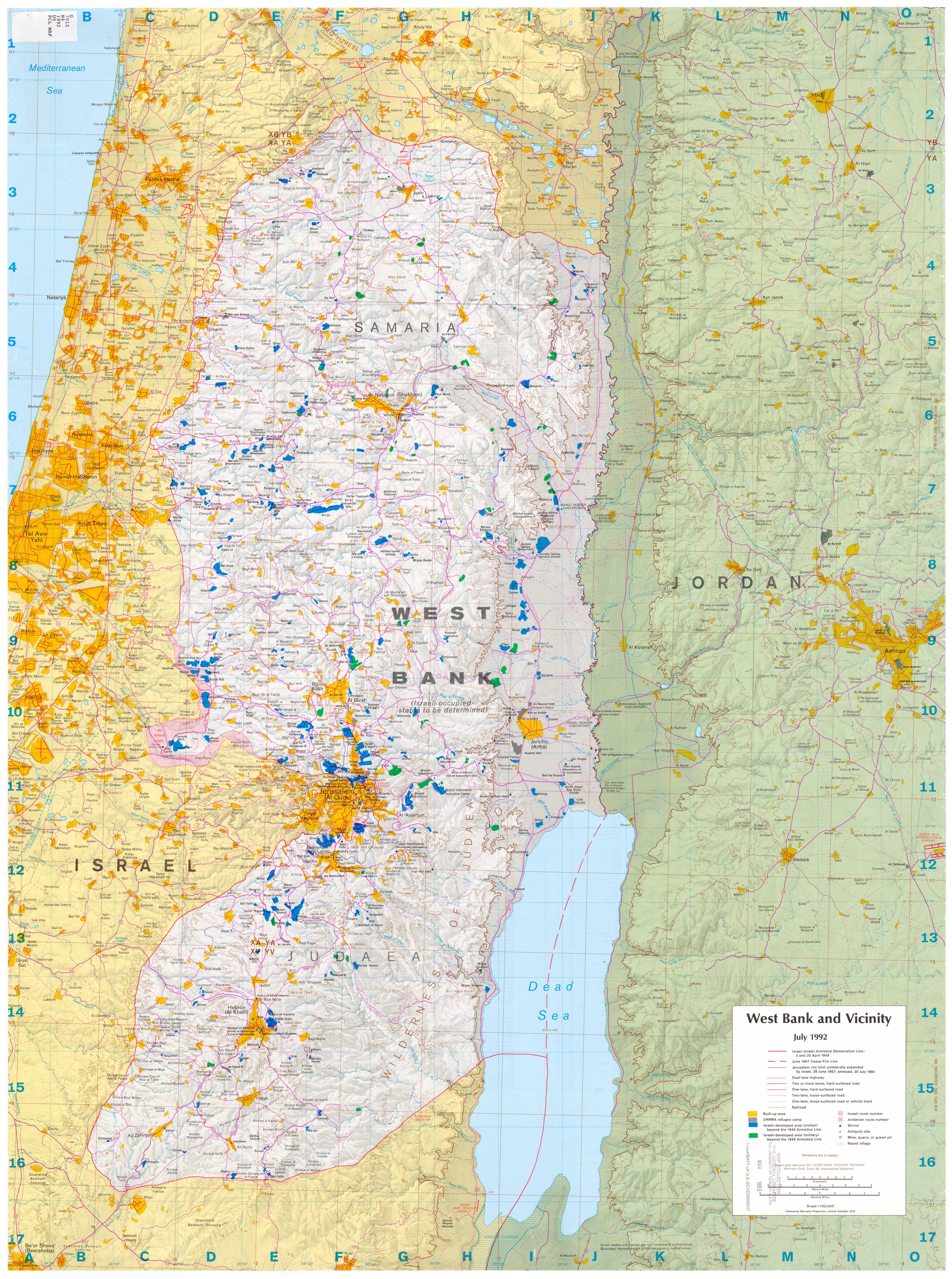
Route 446 is a regional arterial road that begins at the Shilat junction in Modi'in-Maccabim-Re'ut in the south, and ends at the Baruchin Interchange on Highway 5 in the north. The length of the road is 31 km and almost all of it passes outside the Green Line. The most interesting point on the road is the crossing of Nahal Shilo north of Beit Aryeh-Ofarim.

Contents

History

Route 446 has existed at least since the days of Jordanian rule, when its number was "99". [1] Until the 1990s, the route of the road was different, and near the village of Deir Ballut, it continued north towards Mas-ha and Azzun, reaching as far as Tulkarm. The road number still appears on the old route, especially in the Azzun area.

See also

Related Research Articles

Interstate Highway System Network of freeways in the United States

The Dwight D. Eisenhower National System of Interstate and Defense Highways, commonly known as the Interstate Highway System, is a network of controlled-access highways that forms part of the National Highway System in the United States. The system extends throughout the contiguous United States and has routes in Hawaii, Alaska, and Puerto Rico.

In the U.S. state of New Jersey, the New Jersey Department of Transportation (NJDOT) maintains a system of state highways. Every significant section of roadway maintained by the state is assigned a number, officially State Highway Route X. Interstate Highways and U.S. Highways are included in the system. State Routes are signed with the circular highway shield.

U.S. Route 10 or U.S. Highway 10 (US 10) is an east–west United States highway located in the Midwest and Great Lakes regions of the United States. Unlike most U.S. routes with "0" as the last digit of its route number, US 10 is not a cross-country highway. US 10 was one of the original long-haul highways, running from Detroit, Michigan, to Seattle, Washington, but then lost much of its length when new Interstate Highways were built on top of its right-of-way. In 2010, its length was 565 miles (909 km).

A routenumber, designation or abbreviation is an identifying numeric designation assigned by a highway authority to a particular stretch of roadway to distinguish it from other routes and, in many cases, also to indicate its classification, general geographical location and/or orientation. The numbers chosen may be used solely for internal administrative purposes; however, in most cases they are also displayed on roadside signage and indicated on maps.

Allon Road

Allon Road is the name given by Israel to Routes 458, 508, and 578 in the West Bank, running roughly south–north along the eastern watershed of the Judaean and Samarian Hills, between Highway 1 near Kfar Adumim east of Jerusalem and Highway 90 at Mehola in the central Jordan Valley.

Highway 90 is the longest Israeli road, at about 480 kilometres (300 mi), and stretches from Metula and the northern border with Lebanon, along the western side of the Sea of Galilee, through the Jordan River Valley, along the western bank of the Dead Sea, through the Arabah valley, and until Eilat and the southern border with Egypt on the Red Sea. The central section of the road traverses the Israeli-occupied West Bank; while it passes near the city of Jericho, it runs through Area C and does not enter areas controlled by the Palestinian Authority.

New York State Route 446 (NY 446) is a state highway in the Southern Tier of New York in the United States. The highway extends for 6.76 miles (10.88 km) on a northeast–southwest alignment from an intersection with NY 16 north of the hamlet of Hinsdale to a junction with NY 305 in the village of Cuba. It parallels the Southern Tier Expressway very closely for its entire length. NY 446 was originally designated as part of Route 4, an unsigned legislative route, in 1908. The Hinsdale–Cuba highway received its first posted designation in 1924 when it was included as part of NY 17. It was renumbered twice, becoming part of NY 63 in 1930 and NY 408 in the 1940s, before gaining its current designation on July 1, 1974.

Maryland Route 446

Maryland Route 446 is a state highway in the U.S. state of Maryland. Known as Broad Neck Road, the highway runs 6.03 miles (9.70 km) from Langford Bay Road south of Langford in western Kent County north to MD 20 near Chestertown. The northern half of MD 446 was constructed around 1930. The highway, including a county section that would become an extension of MD 446 in 1988, was resurfaced in 1971.

Highway 38 (Israel)

Highway 38 is an arterial road in the low plains of Judea in Israel. It serves as the main access route to Beit Shemesh and as a main north–south route in the region. Along the route are many nature preserves and archeological sites.

Highway 65 (Israel)

Highway 65 is a major highway in northern Israel. It connects Hadera with the Galilee.

Highway 44 (Israel)

Highway 44 is an arterial road in central Israel. It connects Tel Aviv-Yafo and Holon to Ramla, Lod and the Shefela. It is numbered as a north–south road and follows a north-west to south-east path.

Kentucky Route 446 is a state highway in the city of Bowling Green in Warren County, Kentucky. The highway runs 0.970 miles (1.561 km) from U.S. Route 31W, US 68, and KY 80 east to Interstate 65 (I-65). KY 446 is a four-lane divided highway that serves as a connector between the Interstate and U.S. Highways east of Bowling Green and provides access to the National Corvette Museum and the Bowling Green Assembly Plant.

Highway 55 is an east-west highway in central Israel. Its Western terminus is in Kfar Saba, and it continues east to Nablus. Much of the road follows the eastern section of the "Aphek Ascent", an ancient east-west trade route connecting the Via Maris and the Way of the Patriarchs.

Highway 71 (Israel)

Highway 71 is an east-west highway that passes through the eastern Jezreel Valley and the Beit She'an Valley, below the north slopes of the Gilboa mountains, in northern Israel. The road follows a path parallel to the Harod Creek in the Harod Valley and to the Jezreel Valley railway. It is 35 kilometres (22 mi) long, and leads from Afula in the west, via Beit She'an, to the Jordan River Border Crossing in the east. The Navot interchange located approximately 10 km southeast of Afula provides a shortcut via Route 675 through the Ta'anakh region from Highway 71 and Beit She'an to Highway 65 and central Israel.

Jerusalem corridor Geographical district between Jerusalem and the Shfela in Israel

The Jerusalem corridor is a geographical district of hundreds of thousands of dunams between Jerusalem and the Shephelah in Israel. Its northern border is the old road to Jerusalem; its southern border, the Elah Valley; and its western border, Sha'ar HaGai/Bab el-Wad and the road to Beit Shemesh. The largest towns in the Jerusalem corridor are Beit Shemesh, Mevasseret Zion, Abu Ghosh, Tzur Hadassah and Kiryat Ye'arim.

Route 417 (Israel–Palestine)

Route 417 is an intercity road in Israel and the West Bank that stretches from the west side of Jerusalem to Ma'ale Adumim and Highway 1 east to the Jordan Valley.

Highway 45 (Israel)

Highway 45 is the official designation of a 3.3 km stretch of road forming a continuous connection between Route 443 from the Tel Aviv Metropolitan Area and Highway 50 to central Jerusalem and a 1.4 km spur serving the Atarot Industrial Park.

Jerusalem Road 20

Jerusalem Road 20 is a combination of existing roads and new construction creating a continuous route between Jerusalem's Highway 50 and Pisgat Ze'ev via Beit Hanina. The number "20" is a designation used by the Jerusalem Municipality. Several segments of the road follow national road 4197. The cost of the project was NIS 180 million and was completed on 5 May 2013.

References

  1. Map of the roads in Judea and Samaria. As of 1992, the Jordanian number of roads appears in a circle

Coordinates: 31°57′53.9″N35°2′33.6″E / 31.964972°N 35.042667°E / 31.964972; 35.042667