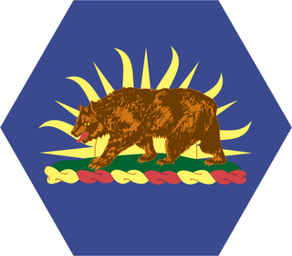
The 1st Cavalry Regiment is a United States Army regiment that has its antecedents in the early 19th century in the formation of the United States Regiment of Dragoons. To this day, the unit's special designation is "First Regiment of Dragoons". While they were the First Regiment of Dragoons, another unit designated the 1st Cavalry Regiment was formed in 1855 and in 1861 was re-designated the 4th Cavalry Regiment. The First Dragoons became the 1st Cavalry Regiment, since they were the oldest mounted regiment.

California's involvement in the American Civil War included sending gold east to support the war effort, recruiting volunteer combat units to replace regular U.S. Army units sent east, in the area west of the Rocky Mountains, maintaining and building numerous camps and fortifications, suppressing secessionist activity and securing the New Mexico Territory against the Confederacy. The State of California did not send its units east, but many citizens traveled east and joined the Union Army there, some of whom became famous.

The California Army National Guard is one of three components of the California National Guard, a reserve of the United States Army, and part of the National Guard of the United States. The California Army National Guard is composed of 18,450 soldiers. Nationwide, the Army National Guard comprises approximately one half of the US Army's available combat forces and approximately one third of its support organization. National coordination of various state National Guard units are maintained through the National Guard Bureau.
Confederate Units of Indian Territory consisted of Native Americans from the Five Civilized Tribes — the Cherokee, Chickasaw, Choctaw, Creek, and Seminole nations. The 1st Cherokee Mounted Rifles were commanded by the highest ranking Native American of the war: Brig. Gen. Stand Watie, who also became the last Confederate General to surrender on June 23, 1865. There was also a series of Union units of Indian Territory.

The area that eventually became the U.S. state of Montana played little direct role in the American Civil War. The closest the Confederate States Army ever came to the area was New Mexico and eastern Kansas, each over a thousand miles away. There was not even an organized territory using "Montana" until the Montana Territory was created on May 26, 1864, three years after the Battle of Fort Sumter. In 1861, the area was divided between the Dakota Territory and the Washington Territory, and in 1863, it was part of the Idaho Territory.

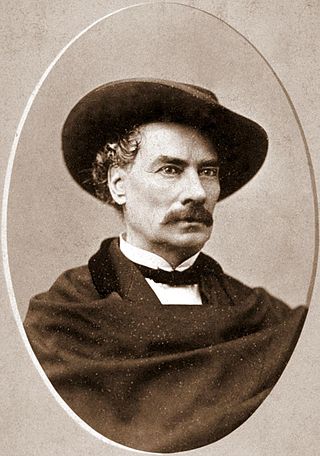
Antonio María de la Guerra was a Californio politician and military officer, who served in the California State Senate and twice as Mayor of Santa Barbara. He also commanded the 1st California Cavalry Battalion during the Civil War and later served several terms on the Santa Barbara County Board of Supervisors.
Daniel Showalter (1830–1866), was a California miner, state legislator, duelist, secessionist, and Confederate States of America military officer in Texas.

Major John C. Cremony was an American soldier who wrote the first dictionary of the Apache language and later became a newspaperman in San Francisco.
The Company A, Arizona Rangers was a cavalry formation of the Confederate States Army during the American Civil War.

The 1st Regiment California Cavalry was a cavalry regiment in the Union Army during the American Civil War. First formed as a battalion, the unit later expanded to regimental size.

The 1st Battalion of Native Cavalry, California Volunteers was a cavalry battalion in the Union Army during the American Civil War. Recruits were largely drawn from the Californio population, though its ranks included Yaqui and Mission Indians as well as immigrants from Mexico, Hispano America and Europe. In addition to its ethnic makeup, the Battalion is also considered unusual for being one of the few lancer units in the United States Army.

The 7th California Infantry Regiment was an infantry regiment in the Union Army during the American Civil War. It spent its entire term of service in the western United States, attached to the Department of the Pacific, serving in California and Arizona Territory. They were unofficially known as the "Gold Diggers" in reference to the large number of recruits from the California's "Mother Lode" region. Later, they were also called the "Hungry Seventh" for the privations they suffered in Arizona, particularly at Fort Mason. They saw combat at the Battle of Chiricahua Mountains, and at Skull Valley. The Regiment included many veterans of the Mexican–American War.

The 158th Infantry Regiment ("Bushmasters") is an infantry unit of the Arizona National Guard. The regiment has served abroad in World War I, World War II and Afghanistan.
The Presidio de Calabasas, also known as Fort Calabasas or Camp Calabasas, was a stone fortress built by Mexico in 1837 south of Tumacacori, Arizona. It was built on the land of the Grant of Manuel María Gándara, by Gándara to protect his lands near the Mission San Cayetano de Calabazas from the Apache. Civilians established a small farming settlement called Calabasas, in the area nearby the protection of the Presidio.

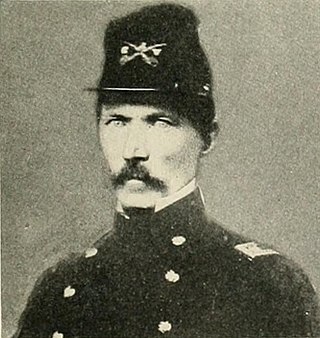
Edward McGarry was an officer in the Mexican American War, a Californian politician, and officer of California Volunteers in the American Civil War. He led cavalry at the Bear River Massacre, was later colonel of the 2nd California Cavalry Regiment, and later commander of the District of California. He received a brevet promotion to brigadier general of volunteers. After the Civil War he rejoined the Regular Army as a lieutenant colonel.
Following the Gadsden Purchase, the United States Army sent Major Enoch Steen and four companies of the 1st U. S. Dragoons to occupy the former site of the Mexican Presidio de Calabasas. Major Steen arrived on November 27, 1856, and named his post Camp Moore. The dragoons put roofs on the old adobe structures and added a few new ones. Camp Moore was abandoned in March 1857 after another location in the San Rafael Valley was chosen for a permanent fort that was christened Fort Buchanan.
1 California, California One, 1st California, California First, or variant thereof, may refer to:
Tanorori's Raid occurred when a force of about 350 Opata volunteers, under the command of Colonle Refugio Tánori, attacked the ranching community of San Rafael, Arizona. The raid was an attempt to capture Sonora Governor Ignacio Pesqueira.


