Related Research Articles

This is a list of the National Register of Historic Places listings in Bexar County, Texas.

This is a list of the National Register of Historic Places listings in Jones County, Iowa.

This is a list of the National Register of Historic Places listings in Iberia Parish, Louisiana.

This list includes properties and districts listed on the National Register of Historic Places in Pitt County, North Carolina. Click the "Map of all coordinates" link to the right to view an online map of all properties and districts with latitude and longitude coordinates in the table below.

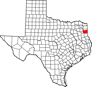
This is a list of the National Register of Historic Places listings in Harrison County, Texas.

This is a list of the National Register of Historic Places listings in El Paso County, Texas.

This is a list of the National Register of Historic Places listings in Jeff Davis County, Texas.

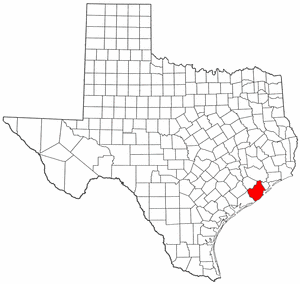
This is a list of the National Register of Historic Places listings in Brazoria County, Texas.

This is a list of the National Register of Historic Places listings in Brewster County, Texas

This is a list of the National Register of Historic Places in Presidio County, Texas

This is a list of the National Register Historic Places in Val Verde County, Texas

This is a list of the National Register of Historic Places listings in Aransas County, Texas.

This is a list of the National Register of Historic Places listings in Rains County, Texas.
Indian Fish Trap State Preserve, also known as the Indian Fish Weir, is a historic site located near the Amana Colonies in rural Iowa County, Iowa. The fish weir is an array of rocks in a V-shaped formation in the Iowa River. It is the only structure of this kind in Iowa. It is not known when the fish weir was built, possibly in either the Late Prehistoric period or Early Historic period. Glacial boulders from a nearby bluff were probably used to construct it. Each wing of the dam is about 155 feet (47 m) in length. The fish were thought to be herded toward the vertex of the "V" where they would be easier to net or spear. They were then placed into an adjacent holding pool. Early pioneers discovered the weir, and it was included on a General Land Office map in the 1840s. Archaeologist Charles R. Keyes wrote about the weir in 1925.
Big Sioux Prehistoric Prairie Procurement System Archaeological District is a discontiguous historic district of 30 sites located along 15 miles (24 km) of river terraces and blufftops in Lyon County, Iowa. The sites are both large and small in size and they "contain a representative sample of the best preserved elements of a hunting and gathering system" of the native peoples who inhabited the northwest Iowa plains from 10,000 to 200 years ago. They include late base camps, deeply-buried early Archaic camps, and procurement sites from all time periods in the Pre-Columbian era. The district was listed on the National Register of Historic Places in 1989.

Kimball Village is an archaeological site located in the vicinity of Westfield, Iowa, United States. It is one of six known Big Sioux phase villages from the Middle Missouri Tradition that existed between 1100-1250 C.E. The site, located on a terrace overlooking the Big Sioux River, has well-preserved features, including earth lodge and storage pits, and evidence of fortifaction. The site was listed on the National Register of Historic Places in 2010, and as a National Historic Landmark in 2016.
The Four Mounds Site is a historic site located in Dubuque, Iowa, United States. It is made up of a row of four conical burial mounds on a blufftop that overlooks the Mississippi River. They are prehistoric in their origin. The site was individually listed on the National Register of Historic Places in 2000. It was included as a contributing property in the Four Mounds Estate Historic District in 2002.
The Benson Archeological Site, designated 13WD50 in the state archaeological inventory, is a historic site located near Smithland, Iowa, United States. Pottery fragments found at the site include Black Sand and Crawford ware from the early Woodland period and Valley ware from the Middle Woodland period. The site was listed on the National Register of Historic Places in 1984.
Notbohm Mill Archaeological District, designated 13LN296 in the state archaeological inventory, is a nationally recognized historic district located west of Alburnett, Iowa, United States. It includes the remnants of the mill's foundation, the mill race, and the now-dry mill pond along the east branch of Otter Creek. This was both a grist mill and a sawmill operation. The mill began operating in the late 1860s. Frederick Notbohm began building the mill facility, which is the subject of this district, in 1875 near the now-defunct town of Lafayette. It continued to operate into the late 1930s and the mill itself continued to stand into the 1970s when it collapsed. The historic district was listed on the National Register of Historic Places in 2000.
References
- ↑ Federal and state laws and practices restrict general public access to information regarding the specific location of this resource. In some cases, this is to protect archeological sites from vandalism, while in other cases it is restricted at the request of the owner. See: Knoerl, John; Miller, Diane; Shrimpton, Rebecca H. (1990), Guidelines for Restricting Information about Historic and Prehistoric Resources, National Register Bulletin, National Park Service, U.S. Department of the Interior, OCLC 20706997 .
- 1 2 "National Register Information System". National Register of Historic Places . National Park Service. March 13, 2009.
- 1 2 Patrick Nunnally. "From Churns to 'Butter Factories' ". State Historical Society of Iowa . Retrieved 2017-11-21.
| This article about a property in Delaware County, Iowa on the National Register of Historic Places is a stub. You can help Wikipedia by expanding it. |
