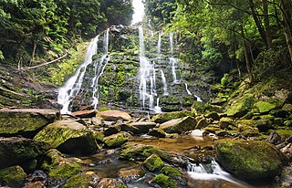
Franklin-Gordon Wild Rivers is a national park in Tasmania, 117 km west of Hobart. It is named after the two main river systems lying within the bounds of the park - the Franklin River and the Gordon River.

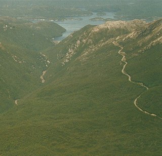
Lake Gordon is a man-made reservoir created by the Gordon Dam, located on the upper reaches of the Gordon River in the south-west region of Tasmania, Australia.

Mount Huxley is a mountain located on the West Coast Range in the West Coast region of Tasmania, Australia. With an elevation of 926 metres (3,038 ft) above sea level, the mountain was named by Charles Gould in 1863 in honour of Professor Thomas Henry Huxley.
Mount Jukes is a mountain located on the Jukes Range, a spur off the West Coast Range, in the West Coast region of Tasmania, Australia.

The Arthur Range is a mountain range in the South West Wilderness, located in south-west Tasmania, Australia. The range is broken into two main sections, the Western Arthurs and the Eastern Arthurs. Both sections of the range are popular overnight bushwalking destinations, generally in summer.
Mount Geikie is a mountain in the West Coast Range of Western Tasmania, Australia.
The Sticht Range is a mountain range located in the West Coast region of Tasmania, Australia. The range runs between two tributaries of the Eldon River and is located within the eastern part of the West Coast Range and has an unnamed peak with an elevation of 1,080 metres (3,540 ft) above sea level.

Mount Pelion West is a mountain located in the Central Highlands region of Tasmania, Australia. The mountain is part of the Pelion Range and is situated within the Cradle Mountain-Lake St Clair National Park at the easternmost boundary of the Murchison River catchment.

Mount Pelion East is a mountain located in the Central Highlands region of Tasmania, Australia. The mountain is situated within the Cradle Mountain-Lake St Clair National Park.
The Gordon Dam, also known as the Gordon River Dam, is a major gated double curvature concrete arch dam with a controlled spillway across the Gordon River, located in Southwest National Park, Tasmania, Australia. The impounded reservoir is called Lake Gordon.
The Scotts Peak Dam is a rockfill embankment dam without a spillway across the Huon River, located in the South West region of Tasmania, Australia.
The Serpentine Dam is a rockfill embankment dam with a concrete face and a controlled spillway across the Serpentine River, located in the South West region of Tasmania, Australia.

Mount King William I is a mountain adjacent to the Lyell Highway in Central Highlands, Tasmania. It is located 10 km southwest of Derwent Bridge. It is the northernmost of the King William Range.

The Frankland Range is a mountain range that is located in the south-west region of Tasmania, Australia. The range forms part of a natural south-western border to the impounded Lake Pedder, formed by the damming of the Serpentine and Huon rivers.
The Cupola is a mountain in the south-west region of Tasmania, Australia. Situated on the Frankland Range, The Cupola has an elevation of 970 metres (3,180 ft) above sea level and juts out from the range towards the impoundment Lake Pedder. The Redtop Peak is situated to the west of The Cupola.
Engineer Range is a mountain range in Western Tasmania, Australia.

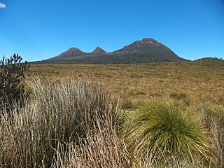
The Tyndall Range, commonly called The Tyndalls, is a mountain range that is part of the West Coast Range located in the Western region of Tasmania, Australia.
The Prince of Wales Range is a mountain range in the South West Wilderness, Tasmania, Australia. It is situated north and parallel to the Denison River. It lies to the west of Lake Gordon, and southeast of Frenchmans Cap.
Denison River is a river in South West Tasmania, Australia. It is within the South West Wilderness, and drains into the Gordon River below the Gordon Splits. Its catchment starts in the south of the King William Range.
The King William Range is a mountain range in the South West Wilderness, Tasmania, Australia. It is situated south of the Lyell Highway and Derwent Bridge. It is the source of the Gordon River catchment.