Juan Bautista de Anza was born in the Spanish Provence of New Navarre in Viceroyalty of New Spain. Of Basque descent, he served as an expeditionary leader, military officer, and politician primarily in California and New Mexico under the Spanish Empire. He is credited as one of the founding fathers of Spanish California and served as an official within New Spain as Governor of the Province of New Mexico.

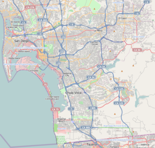
Chula Vista is the second largest city in the San Diego metropolitan area, the seventh largest city in Southern California, the fourteenth largest city in the state of California, and the 74th-largest city in the United States. The population was 243,916 as of the 2010 census.

Vista is a city in Southern California and is located in northwestern San Diego County. Vista is a medium-sized city within the San Diego-Carlsbad, CA Metropolitan Area and has a population of 101,659. Vista's sphere of influence also includes portions of unincorporated San Diego County to north and east, with a county island in the central west. Located just seven miles inland from the Pacific Ocean, it has a Mediterranean climate.
Alta or ALTA may refer to:

AltaVista was a Web search engine established in 1995. It became one of the most-used early search engines, but lost ground to Google and was purchased by Yahoo! in 2003, which retained the brand but based all AltaVista searches on its own search engine. On July 8, 2013, the service was shut down by Yahoo! and since then, the domain has redirected to Yahoo!'s own search site.

Alta Vista Drive is a suburban road in Ottawa, Ontario, Canada. It runs from Bank Street in the south to Industrial Avenue in the north covering the neighbourhoods of Ridgemont, Alta Vista and Riverview.

Antonio Francisco Coronel was a Californio of Mexican Alta California, that transitioned into various political offices after U.S. statehood of California in 1850. He served as the fourth mayor of Los Angeles from 1853 to 1854.
The Mountain View–Los Altos Union High School District (MVLA) is a school district serving Mountain View, Los Altos, and Los Altos Hills, California. The elementary and intermediate school students in the region are served by Mountain View-Whisman School District and Los Altos School District.

Alta Vista is a neighbourhood in Ottawa, Ontario, Canada. Its boundaries can be broadly described as: Smyth Road in the north, St. Laurent Boulevard in the east, Walkley Road and Heron Road in the south, and Bank Street and Riverside Drive in the west. However, the name is ambiguous, as there are several sub-neighbourhoods in this area,, as well as a core Alta Vista area,, centered on Alta Vista Drive.
AltaVista is search engine company, which is now owned by Yahoo!.

South Bay is a region in southwestern San Diego County, California consisting of the communities and cities of Bonita, Chula Vista, Imperial Beach, Lincoln Acres, National City, and South San Diego.

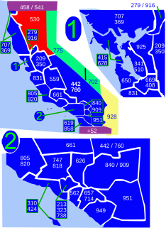
Area code 530 is a California telephone area code in northeastern and Northern California.
The Rose Pauson House in Phoenix, Arizona, was designed by Frank Lloyd Wright in 1939 and built 1940–1942.
Alta Vista High School is a continuation high school that serves the Mountain View-Los Altos Union High School District. Alta Vista High School has been fully accredited by the Western Association of Schools and Colleges and was designated a Model Continuation High School by the California State Department of Education. Their staff includes one principal, two counselor/teachers, six full-time teachers, three instructional aides, a director of coordinated services/case management, CHAC/AACI counselors, Stanford Medical School support staff, an office manager, and a technical support. Alta Vista is designed to offer a viable alternative to the traditional high school for students whose needs have not been met in the traditional high school setting. Students respond well to the personalized setting and individualized learning contract approach. Their mascot is the Aztec.

The Alta Vista Terrace District is a historic district in the Lake View community of Chicago, Illinois. The district was built in 1904 in imitation of the rowhouse style of London.
Vista Unified School District is a public school district headquartered in Vista, California, United States. It serves sections of northern San Diego County.

Alta Vista is an unincorporated community in Inyo County, California. It lies at an elevation of 4590 feet.

The Alta Vista Botanical Gardens is a botanical garden located in Vista, California, in the United States. The mission of the gardens is to "bring together people, nature and art". The purpose of the garden to provide an interactive living classroom for North San Diego County students.

Alta Vista is a small neighborhood in southeastern San Diego, California, United States. It is bordered by National City to the east, Bay Terraces to the west, Encanto and Valencia Park to the north.
Alta Vista is an unincorporated community in Daviess and DeKalb counties, in the U.S. state of Missouri.


