Nevada County is a county in the Sierra Nevada of California. As of the 2010 census, the population was 98,764. The county seat is Nevada City.

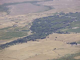
Lamoille is a rural census-designated place in Elko County in the northeastern section of the state of Nevada in the western United States. As of the 2010 census it had a population of 105. It is located 19 miles (31 km) southeast of Elko at the base of the Ruby Mountains at an elevation of 5,889 feet (1,795 m) and is part of the Elko Micropolitan Statistical Area.

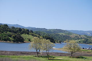
Coyote Lake is an artificial lake in Santa Clara County, California, between Morgan Hill and Gilroy.

Cedar Ridge is an unincorporated community in Nevada County, California, United States, along State Route 174 2.5 miles (4.0 km) east/southeast of Grass Valley, California. and approximately 1 mile (1.6 km) east/southeast of the Empire Mine in Gold Country. The first Post Office was established in 1948 and the zip code is 95924.

Moores Flat is a former settlement in Nevada County, California. It is situated at an elevation of 4,144 ft (1,263 m) above sea level. Moores Flat is located 4.25 miles (6.8 km) north-northeast of North Bloomfield.

Badger Hill is a former settlement in Nevada County, California. It is situated at an elevation of 2,552 ft (778 m) above sea level.

Coyoteville is a former settlement in Nevada County, California. It is situated at an elevation of 2,160 ft (660 m) above sea level.

Boston Ravine is a former settlement in Nevada County, California. Boston Ravine is located 1 mile (1.6 km) south-southwest of Grass Valley. Its elevation is 2,339 ft (713 m) above sea level.

Union Hill is a former settlement in Nevada County, California, 1.5 mi (2.4 km) from Grass Valley. Its elevation is 2,700 ft (820 m) above sea level.
Rose's Corral is a former settlement in Nevada County, California, United States. It was located on the lower San Juan Ridge, between Deer Creek and the South Yuba River, about 10 mi (16 km) southwest of Nevada City and Grass Valley. Established during the summer of 1848, it is notable for being the county's first settlement. It is named for a cattle corral built by John Rose, a trader.

Indian Springs is a former settlement in Nevada County, California, located near Rough and Ready. It had a post office from 1858 to 1871, and again from 1892 until 1893. Indian Springs was listed on a map as of 1949.

Little York is a former settlement in Nevada County, California, located near Chicago Park, between Bear River and Greenhorn Creek.

Lowell Hill is a former settlement in Nevada County, California, located south of Washington. In 1880, its population was 75.

Glenbrook is a former settlement in Nevada County, California, located near Grass Valley. It was listed on an official map as of 1949.

Bear River Pines is a former settlement in Nevada County, California, located 1.5 miles (2.4 km) north of Chicago Park. It was listed on an official map as of 1949.

La Barr Meadows is a former settlement in Nevada County, California, located near Grass Valley. It was listed on an official map as of 1949.

Calero Reservoir is an artificial lake in the Santa Teresa Hills south of San Jose, California, United States. A 4,471-acre (1,809 ha) county park surrounds the reservoir and provides limited fishing ("catch-and-release"), picnicking, hiking, and horseback riding activities. Although swimming is prohibited, boating, water-skiing and jet-skiing are permitted in the reservoir.

Forest Spring is a former settlement in Nevada County, California. It lay at an elevation of 2044 feet. Forest Spring is located 3.5 miles (5.6 km) northwest of Grass Valley.
Pittsburg is a former settlement in Nevada County, California. Pittsburg is located on the Nevada County Narrow Gauge Railroad 1.25 miles (2.0 km) south of Grass Valley. It still appeared on maps as of 1934.
Little Grass Valley Reservoir is an artificial lake in Plumas County, California and Plumas National Forest near the Pacific Crest Trail.


