Blockhouse on Signal Mountain is within the Fort Sill Military Reservation, north of Lawton, Oklahoma.[2][3] The rock architecture is located along Mackenzie Hill Road at the summit of Signal Mountain within the Fort Sill West Range being the Oklahoma administrative division of Comanche County.[4]
The stone structure was constructed on the summit of Wichita Mountain's Signal Mountain encompassing a terrestrial elevation of 1,750 feet (530m).[12] The shelter has a dimension of 14 feet (4.3m) by 16 feet (4.9m) with a structural exterior consisting of native stone collected within the vicinity of the Wichita Mountains. The four wall dwelling was erected as some of the first limestone architecture as part of Fort Sill's Old Post Corral or United States Army Quartermaster Corpsfortification foraged during the American Indian Wars on the American frontier.[13]
During September 1874, Captain Wyllys Lyman guided a provisions train grouped as thirty-six empty wagons to Camp Supply for the replenishment of supply provisions.[48][49] The wagon train was to collect provisions at Camp Supply and return to Nelson Miles Headquarters Dugout.[50][51] The frontier range was located near the Washita River with the North Fork Red River situated approximately 25 miles (40km) south of the headquarters dugout encampment.[52] On September 9, 1874, Lyman's wagon train commenced the return by prairie trail when the double column train with sixty soldiers encountered a skirmish with tribal bands of Cheyenne, Comanche, and Kiowa consequently regressing into a battle from September 9 to September 14, 1874.[53]
↑ Bentley, Bill F. (January 30, 1979). "Historic Blockhouse Named to Register". The Lawton Constitution, Vol. 77, No. 127, Ed. 1 Tuesday, January 30, 1979. Lawton, Oklahoma: The Lawton Constitution.
↑ "Old Post"[Fort Sill in Comanche County, Oklahoma — The American South (West South Central)]. HMDB.org. The Historical Marker Database.
↑ Bentley, Bill F. (January 5, 1969). "Key Early-Day Events . . . A Chronology". The Lawton Constitution, Vol. 20, No. 1, Ed. 1 Sunday, January 5, 1969. Lawton, Oklahoma: The Lawton Constitution. p.3F.
↑ Vaupel, Barbara. "Medicine Bluff at Ft. Sill 1870's"[40" x 30" Oil on Canvas Artist Painting with Narrative]. Oklahoma Senate Artwork. Oklahoma Senate.
↑ "Medicine Bluffs ~ Fort Sill, Oklahoma"[Medicine Bluff Creek ~ Comanche County, Oklahoma]. NPGallery Digital Asset Management System ~ U.S. National Park Service. U.S. Department of the Interior. December 31, 1974.
↑ Rand, Jacki Thompson. "Medicine Lodge Treaty (1867)". The Encyclopedia of Oklahoma History and Culture. Oklahoma Historical Society.
↑ Kracht, Benjamin R. "Kiowa-Comanche-Apache Opening". The Encyclopedia of Oklahoma History and Culture. Oklahoma Historical Society.
↑ Chief Signal Officer of the Army (November 1, 1876). "Fort Sill, Indian Territory"[Annual Report of the Chief Signal Officer to the Secretary of War for the Year 1876]. Washington, D.C.: United States Government Printing Office. p.89 – via HathiTrust Digital Library.
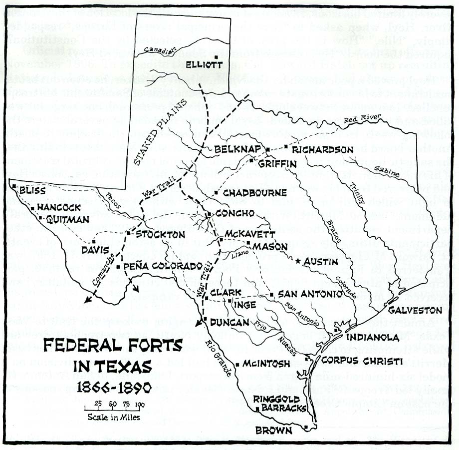
↑ "The Most Dangerous Prairie in Texas"[Fort Griffin and the Prairie-Plains Frontier]. Frontier Forts Main ~ Texas Beyond History. University of Texas at Austin.
↑ King, Steve M. "Salt Creek Prairie". Handbook of Texas Online. Texas State Historical Association.
↑ Rea, Bob. "Fort Supply"[Fort Supply (fort)]. The Encyclopedia of Oklahoma History and Culture. Oklahoma Historical Society.
↑ "Camp Supply, Indian Territory"[Military stockade near Beaver River and Wolf Creek (north fork of Canadian River)]. Photo, Print, Drawing ~ Prints and Photographs Division. U.S. Library of Congress. 1869. LCCN95502931.
↑ "Site of Lyman's Wagon Train Battle"[Canadian in Hemphill County, Texas - The American South (West South Central)]. HMDB.org. The Historical Marker Database.
↑ Bement, Leland C. "Cooper Site". The Encyclopedia of Oklahoma History and Culture. Oklahoma Historical Society.
↑ Smith, Ralph A. "Bone Business". Handbook of Texas Online. Texas State Historical Association.
↑ McCreight, Major Israel (1939). "Buffalo Bone Days"[A Short History of the Buffalo Bone Trade ~ A Sketch of Forgotten Romance of Frontier Times ~ The Story of a Forty Million Dollar Business from Two Million Tons of Bones]. HathiTrust Digital Library. Sykesville, Pennsylvania: Nupp Printing Co. hdl:2027/uc1.31822042768432. OCLC793507468.
↑ "Blockhouse on Signal Mountain ~ 78002228"[National Register of Historic Places Inventory - Nomination Form for Federal Properties](PDF). NPGallery HRHP PDF. National Park Service. November 29, 1978.
Bibliography
Further reading about American Frontier and Plains Prairies
United States War Department (1886). "Lieutenant General of the Army ~ Apache Campaign"[Annual Report of the Secretary of War 1886 ~ Volume 1]. HathiTrust Digital Library. Washington, D.C.: United States Government Office. pp.143–146.
Mooney, James (1898). "Calendar History of the Kiowa Indians"[Winter 1877-78 ~ K' op-taide-do-tsedal-de Sai, “Signal-mountain winter” “the mountain with a house built upon it”]. Internet Archive. Ankopaaingyadete. Washington, D.C.: U.S. Government Printing Office. p.342. OCLC963677.
Clark, Blue. "Lone Wolf v. Hitchcock (1903)"[U.S. Supreme Court Decision ▷ 187 U.S. 553, 1903 ◁ ~ American Indians detribalization with U.S. law in the forefront given adaption to American society and challenges of assimilation]. The Encyclopedia of Oklahoma History and Culture. Oklahoma Historical Society.
Custer, Elizabeth Bacon (1928). "Letter from Elizabeth Custer to Dr. C. C. Rister, July 28, 1928"[Letter from Elizabeth Custer to Dr. C. C. Rister, discussing General George Armstrong Custer's attitude and interactions with the Native Americans]. University of North Texas Libraries ~ The Portal to Texas History. Hardin-Simmons University Library.
"Fort Smith-Santa Fe Trail"[Map of Route Pursued by U.S. troops from Fort Smith, Arkansas, to Santa Fé, New Mexico, via South Side of Canadian River in the Year 1849]. Internet Archive. E. Weber & Co., Balto. 1849.
Monteith, James (1878). "Texas and Indian Territory Map". University of North Texas Libraries ~ The Portal to Texas History. University of Texas at Arlington Library.
This page is based on this Wikipedia article Text is available under the CC BY-SA 4.0 license; additional terms may apply. Images, videos and audio are available under their respective licenses.


