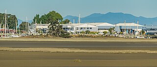
Kaiapoi is a town in the Waimakariri District of the Canterbury region, in the South Island of New Zealand. The town is located approximately 17 kilometres north of central Christchurch, close to the mouth of the Waimakariri River. It is considered a satellite town of Christchurch and is part of the Christchurch functional urban area. The town is named after the nearby Kaiapoi Pā.

Silverstream is a suburb of Upper Hutt in New Zealand, just under 7 km (4.3 mi) south-west of the Upper Hutt CBD. It is in the lower (southern) part of the North Island of New Zealand at the southern end of Upper Hutt, close to the Taitā Gorge, which separates Upper Hutt from Lower Hutt. The area is sited at the mouth of a small valley formed by the Wellington Region's tectonic activity and, in part, by Hull's Creek, which discharges into the Hutt River.

Waimakariri District is a local government district, located in the Canterbury Region of New Zealand's South Island. It is named after the Waimakariri River, which forms the district's southern boundary, separating it from Christchurch City and the Selwyn District. It is bounded in the north by the Hurunui District and in the east by the Pacific Ocean.

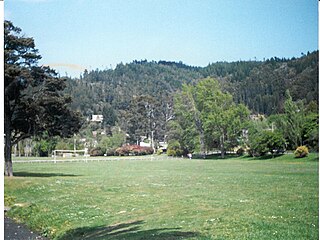
Pinehaven is a suburb of Upper Hutt City in the lower North Island of New Zealand, established in 1927. It is at the southern end of the city, within the pine covered hills east of Silverstream.
Heretaunga is a suburb of the city of Upper Hutt, located in the lower (southern) North Island of New Zealand. Heretaunga adjoins the suburb of Silverstream to its southwest and the two are commonly thought of associated with each other. To the northeast lies Trentham. The Heretaunga Railway Station on the Hutt Valley Line serves the suburb.

Fernside is a small rural community in the Waimakariri District, New Zealand. In 1901, Fernside had a population of 550. As of the 2006 New Zealand census, Fernside has a population of 1491.
Pamapuria is a locality in Northland, New Zealand. It lies on State Highway 1 about 10 km east of Kaitaia.
Otaika is a suburb of Whangārei 7 km south of the city in Northland, New Zealand. The Otaika Stream runs from the north west, through the area, and into the Whangārei Harbour. State Highway 1 runs through the locality. The hill Tikorangi lies to the South. Tikorangi is a source of limestone for Portland Cement.

Cust is a rural village in the South Island of New Zealand. It is located in North Canterbury and comes under seat of the Waimakariri District Council. It is located approximately 16 km east of Oxford and 17 km west of Rangiora. The town is named after Sir Edward Cust, who was a member of the Canterbury Association which organised European settlement of the area around 1850. Earlier names for the town were Moeraki Downs and Middleton-on-the-Cust.

The Pines Beach is a small town situated roughly 4 km east of Kaiapoi in the Canterbury region of the South Island of New Zealand. It is 1 km north of the mouth of the Waimakariri River. It takes its name from its close proximity to both a pine forest and the beach.

Arundel is a small rural village about 15 kilometres (9 mi) north of Geraldine, in the Canterbury region in the South Island of New Zealand. It is near the south bank of the Rangitata River, 3 kilometres (2 mi) from Peel Forest, an extensive podocarp forest with abundant birdlife. Arundel is flat and fertile, with fields and many mature trees.

Eyrewell Forest is a small rural area in the Waimakariri District, New Zealand.

Kairaki is a small rural community in the Waimakariri District, New Zealand.

Sefton is a small town in the Waimakariri District, New Zealand, about 23 miles from Christchurch.
Mandeville North is a small village in the Waimakariri District of Canterbury, New Zealand. Due to new subdivisions being built in the area, the population has been slowly increasing, particularly after the 2011 Christchurch earthquake. The construction of the Mandeville village retail development began in late 2017 and was completed in early 2018.

Kainga is a settlement on the southern bank of the Waimakariri River, just north of Christchurch, in Canterbury, New Zealand. It lies immediately to the south of Kaiapoi, on a small road leading northeast from State Highway 1.

Lower Moutere is a settlement in the Tasman District of New Zealand's upper South Island. It is a farming community it the Lower Moutere valley, 6 km (3.7 mi) from Motueka close to the Moutere Inlet.

Woodend Beach is a small rural community in the Waimakariri District, New Zealand.
McLeans Island is a rural area north and northwest of Christchurch city, and south of Waimakariri River.
Hadlow is a rural community in the Timaru District, New Zealand. It is located west of Timaru and south of Pleasant Point.


