Dunreith is a town in Spiceland Township, Henry County, Indiana, United States. The population was 177 at the 2010 census.
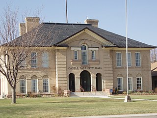
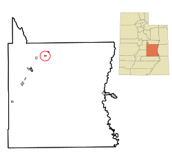
Castle Dale is a city in northwestern Emery County, Utah, United States. The population was 1,492 at the 2020 census. It is the county seat of Emery County.
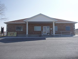
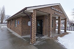
Clawson is a town in Emery County, Utah, United States. The population was 163 at the 2020 census. The community was named after Rudger Clawson, a Mormon leader.

{[short description|Town in Emery County, Utah, United States}}
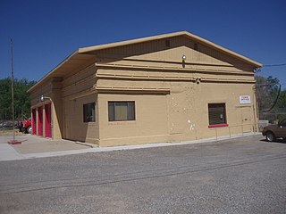
Ferron is a city in western Emery County, Utah, United States. The population was 1,461 at the 2020 census.

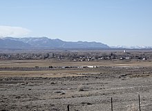
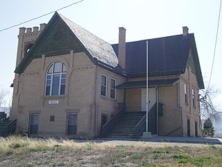
Orangeville is a city in northwestern Emery County, Utah, United States, at the edge of the Manti-La Sal National Forest. The city is at the junction of State Routes 29 and 57, straddling the banks of Cottonwood Creek. The population was 1,470 at the 2010 census.

Cannonville is a town in Garfield County, Utah, United States, along Utah Scenic Byway 12. As of the 2020 census, the population was 186.
Tropic is a town in Garfield County, Utah, United States, along Utah Scenic Byway 12. As of the 2020 census, the town had a population of 486. Tropic was founded in 1891.

Kanarraville is a town in Iron County, Utah, United States. The population was 355 at the 2010 census.

Rocky Ridge is a town on the northeastern edge of Juab County, Utah, United States. As of the 2010 census it had a population of 733, and in 2018 the estimated population was 833.

Hinckley is a town in Millard County, Utah, United States, in the middle of the Sevier Desert. Irrigation water from the Sevier River, passing nearby, has been used to turn Hinckley into a farming oasis. The mountains that are common in Utah are seen only in the distance, and beyond the reach of the river, a severe desert prevails. The population was 614 at the 2020 census.

Meadow is a town in Millard County, Utah, United States. The population was 254 at the 2000 census. Originally called Meadow Creek, the town is located about eight miles south of Fillmore.

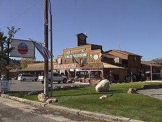
Marysvale is a town in Piute County, Utah, United States. The population was 408 at the 2010 census. Marysvale is a trail head for the Paiute ATV Trail.

Woodruff is a town in Rich County, Utah, United States. The population was 169 at the 2020 census.

Ophir is a census-designated place in Tooele County, Utah, United States. It is part of the Salt Lake City, Utah Metropolitan Statistical Area. The population was 23 at the 2000 census, a decrease of two from the 1990 figure of 25.
Goshen is a town in Utah County, Utah, United States. It is part of the Provo–Orem Metropolitan Statistical Area. The population was 978 at the 2020 census.

Woodland Hills is a city in Utah County, Utah, United States. It is part of the Provo–Orem Metropolitan Statistical Area. The population was 1,521 at the 2020 census. Woodland Hills became a city at the end of 2000.

Charleston is a town in Wasatch County, Utah, United States. The population was 436 at the 2020 census.

Springdale is a town in Washington County, Utah, United States. The population was 529 at the 2010 census. It is located immediately outside the boundaries of Zion National Park, and is oriented around the resulting tourist industry. It was originally settled as a Mormon farming community in 1862 by evacuees from the flooding of nearby Northrop.

Toquerville is a city in east–central Washington County, Utah, United States. The population was 1,870 at the 2020 census.