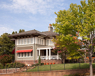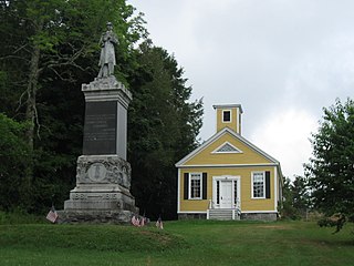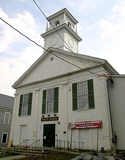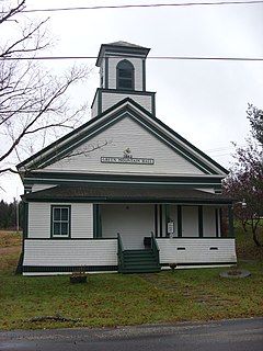
Camp Floyd State Park Museum is a state park in the Cedar Valley in Fairfield, Utah, United States. The park includes a small part of the former Camp Floyd site, the Stagecoach Inn, and the Fairfield District School.

Imlaystown is an unincorporated community located along County Route 43 and Davis Station Road within Upper Freehold Township in Monmouth County, New Jersey. It is located in ZIP code 08526. The community is accessible from Exit 11 of Interstate 195.

Neshanic Station is an unincorporated community located within Branchburg and extending into Hillsborough Township, Somerset County, New Jersey, United States. In 2016 most of the village was listed on the National Register of Historic Places as the Neshanic Station Historic District.

Edgewood Historic District is a historic district located in the west-central portion of New Haven, Connecticut. It was listed on the National Register of Historic Places in 1986. A predominantly residential area roughly bisected by Edgewood Avenue, a broad boulevard which features a large central esplanade and forms the principal east-west artery through the heart of the district. The area includes 232 contributing buildings, 4 other contributing structures, and 1 contributing object. Most of these were built between about 1888 and 1900, and represent the city's first neighborhood planned under the tenets of the City Beautiful movement. They are generally either Queen Anne or Colonial Revival in style, and are set on larger lots.

The Canterbury Center Historic District is a historic district in Canterbury, Connecticut. The district is centered on the town green, located at the junction of Route 169 and Route 14. It has been the town center since 1705, and includes a fine assortment of 18th and early 19th-century architecture. It was listed on the National Register of Historic Places (NRHP) in 1998.

Preston City is a village and the original town center of the town of Preston, Connecticut. The core of the village around the junction of Old Northwest Road and Route 164 is designated as the Preston City Historic District, a historic district that is listed on the National Register of Historic Places. The district is located along Old Shetucket and Amos Roads, which, prior to the 1930s, were major thoroughfares.

The Newtown Borough Historic District is a 100-acre (40 ha) historic district in the borough of Newtown within the town of Newtown in Fairfield County, Connecticut. There is a local historic district, and an overlapping district that was listed on the National Register of Historic Places in 1996.

This is a list of the National Register of Historic Places listings in Summit County, Utah.

North Dakota State University District is a 36-acre (15 ha) historic district on the campus of North Dakota State University, in Fargo, North Dakota, that was listed on the National Register of Historic Places in 1986.

The Hadlyme North Historic District is an 81-acre (33 ha) historic district located in the southwest corner of the town of East Haddam, Connecticut. It represents the historic core of the village of Hadlyme, which straddles the town line, and consists primarily of two north-south roads, Town Street. The village arose around a church society founded in 1743, and grew with the development of small industries along area waterways. It was listed on the National Register of Historic Places in 1988.
This is a list of the National Register of Historic Places listings in Zion National Park.
Scott & Welch was an architectural partnership of Carl W. Scott and George W. Welch that was based in Salt Lake City, Utah and began in 1914. They designed schools, libraries, and other buildings that were built by New Deal programs. A number of their works are listed on the U.S. National Register of Historic Places (NRHP).

The Buena Vista Park Historic District in Tulsa, Oklahoma is a 5-acre (2.0 ha) historic district that was listed on the U.S. National Register of Historic Places (NRHP) in 2007. Its 24 contributing buildings include Late 19th and 20th Century Revivals and Late 19th and Early 20th Century American Movements architecture, specifically Colonial Revival architecture, Prairie School, and Bungalow/Craftsman architecture. The period of significance is 1913-1933.

The Springville Presbyterian Church is historic church building in Springville, Utah, United States, that is listed on the National Register of Historic Places (NRHP).

The Dennysville Historic District encompasses the historic town center of Dennysville, Maine. Located near the southern end of the large rural community, its architecture covers more than 100 years of community history, from the early 19th to early 20th centuries. The district extends along Main Street between Maine State Route 86 and Bunker Hill Road, on the west bank of the Dennys River. It was listed on the National Register of Historic Places in 1982.

The George–Pine–Henry Historic District encompasses a residential area of the village of Bellows Falls, Vermont. Located west of downtown Bellows Falls, the area has a significant concentration of well-preserved late 19th and early 20th-century residences. It was listed on the National Register of Historic Places in 2010.

The Mechanicsville Historic District encompasses a cluster of residential properties that are all that remain of one of the early industrial areas of Grafton, Vermont. Located a short way east of Grafton Village on Vermont Route 121, it includes ten well-preserved 19th-century properties, some located on properties where early mills once stood. The district was listed on the National Register of Historic Places in 2010.

The Putney Village Historic District encompasses most of the main village and town center of Putney, Vermont. Settled in the 1760s, the village saw its major growth in the late 18th and early 19th century, and includes a cohesive collection with Federal and Greek Revival buildings, with a more modest number of important later additions, including the Italianate town hall. The district was listed on the National Register of Historic Places in 1986.

The Whitingham Village Historic District encompasses much of the current village center of Whitingham, Vermont. It was developed mainly in the second half of the 19th century around industries powered by local water sources, and includes well-preserved architecture from that period. It was listed on the National Register of Historic Places in 2006.

The Willard Historic District, is a historic district in Willard, Utah, United States, that is listed on the National Register of Historic Places (NRHP).


