East White Bluffs, Washington | |
|---|---|
 Rabbit Hunt, East White Bluffs, Washington, 1914 | |
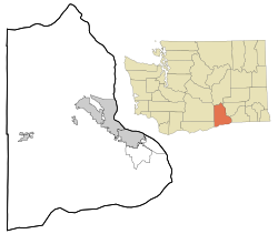 East White Bluffs, Washington Location of East White Bluffs, Washington | |
| Coordinates: 46°40′24″N119°27′40″W / 46.6734703°N 119.4611356°W [1] | |
| Country | United States |
| State | Washington |
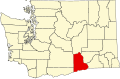
| County | Benton |
| Elevation | 394 ft (120 m) |
| Time zone | UTC-8 (Pacific (PST)) |
| • Summer (DST) | UTC-7 (PDT) |
| ZIP code | 98944 |
| Area code | 509 |
| GNIS feature ID | 1510931 [2] |
East White Bluffs was an unincorporated community in Benton County, Washington, United States, located approximately 17 miles southwest of Othello on the Hanford Nuclear Reservation.