Edenburg, Pennsylvania | |
|---|---|
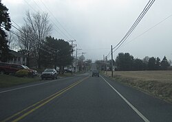 Edenburg along westbound Old Route 22 | |
 Edenburg  Edenburg | |
| Coordinates: 40°33′59″N75°57′38″W / 40.56639°N 75.96056°W | |
| Country | United States |
| State | Pennsylvania |
| County | Berks |
| Township | Windsor |
| Area | |
• Total | 0.61 sq mi (1.59 km2) |
| • Land | 0.58 sq mi (1.49 km2) |
| • Water | 0.04 sq mi (0.10 km2) |
| Population | |
• Total | 708 |
| • Density | 1,227.04/sq mi (473.66/km2) |
| Time zone | UTC-5 (Eastern (EST)) |
| • Summer (DST) | UTC-4 (EDT) |
| ZIP code | 19526 [3] |
| Area codes | 484, 610 and 835 |
| FIPS code | 42-22352 |
Edenburg is a census-designated place [4] in Windsor Township, Berks County, Pennsylvania, United States. It is located along Old Route 22, and very close to I-78, approximately two miles from Hamburg. As of the 2010 census, the population was 681 residents.
