
Purba Tajpur is a census town in Chanditala II CD Block in Srirampore subdivision of Hooghly district in the Indian state of West Bengal.
Panchla is a community development block that forms an administrative division in Howrah Sadar subdivision of Howrah district in the Indian state of West Bengal.
Nawapara is a census town in Sreerampur Uttarpara CD Block in Srirampore subdivision of Hooghly district in the Indian state of West Bengal. It is a part of Kolkata Urban Agglomeration.
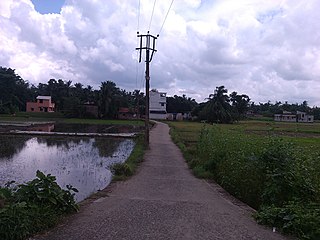
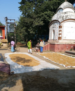
Gangadharpur is a census town in the Chanditala I CD Block located in the Srirampore subdivision of the Hooghly district in the state of West Bengal, India.

Baruipara is a census town in Singur CD Block in Chandannagore subdivision of Hooghly district in the state of West Bengal, India.

Manirampur is a census town in Chanditala I CD Block in Srirampore subdivision of Hooghly district in the state of West Bengal, India.
Nababpur is a census town in Chanditala I CD Block in Srirampore subdivision of Hooghly district in the state of West Bengal, India.
Kumirmora is a census town in Chanditala I CD Block in Srirampore subdivision of Hooghly district in the state of West Bengal, India.
Bhagabatipur is a census town in Chanditala I CD Block in Srirampore subdivision of Hooghly district in the state of West Bengal, India.
Ramanathpur is a census town in Chanditala I CD Block in Srirampore subdivision of Hooghly district in the state of West Bengal, India.
Dudhkalmi is a census town in Chanditala I CD Block in Srirampore subdivision of Hooghly district in the state of West Bengal, India.
Malipukur is a Village in Arambagh community development block in Arambagh subdivision of Hooghly district in the state of West Bengal, India. It is under [[Arambagh] police station.
Bankrishnapur is a village in Chanditala I community development block of Srirampore subdivision in Hooghly district in the Indian state of West Bengal.
Jaykrishnapur is a census town in Chanditala II CD Block in Srirampore subdivision of Hooghly district in the state of West Bengal, India.
Panchghara is a census town in Chanditala II CD Block in Srirampore subdivision of Hooghly district in the state of West Bengal, India.
Kapashanria is a census town in Chanditala II CD Block in Srirampore subdivision of Hooghly district in the state of West Bengal, India.
Tisa is a census town in Chanditala II CD Block in Srirampore subdivision of Hooghly district in the state of West Bengal, India.
Borai is a census town in Singur CD Block in Chandannagore subdivision of Hooghly district in the Indian state of West Bengal.
Basai is a census town in Sreerampur Uttarpara CD Block in Srirampore subdivision of Hooghly district in the Indian state of West Bengal. It is a part of Kolkata Urban Agglomeration.
Ganye Gangadharpur is a census town within the jurisdiction of the Maheshtala police station in the Thakurpukur Maheshtala CD block in the Alipore Sadar subdivision of the South 24 Parganas district in the Indian state of West Bengal.

